

Nestled in a quite corner of southern Maine, near York Pond was a tiny town that during its height had 30 to 40 residents...about 10 families in all between the early 1800's and early 1900's. The last recollected resident, a woman nicknamed "Cross-eyed Emma Jane" was seen occasionally selling vegetables in the nearby town of South Berwick as late as 1960. Much is not known about Punkintown, though there are some sketchy historical records that indicate a grist mill from the 1700's operated in the area, and that the town had its own granite quarry (and in fact, there are several granite quarries).
The demise of the town however began in the early 1900's. According to one record, a house fire in 1916 wiped out one house and the surrounding trees. Shortly thereafter, a tuberculosis outbreak in 1922 helped decrease the population and the last of the old houses burnt in the same year.
Beyond these few historical facts I have been unable to find out any additional information on the town, besides a very, and the emphasis is on VERY, vague descriptions on where it is. I was first told about the town by a couple beighbour ladies down the street who have been there, so armed with the shady details on location, Heidi and I have been hunting for Punkintown ever since.
Our first excursion to the site did not yield much. There is a road/ATV trail that serves as your trail to the top of the hill. We found mostly old stone walls and only one quarry, but according to the scant online resources we found, we had hardly scratched the surface of what is there.
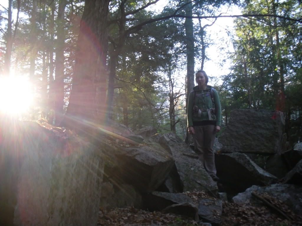
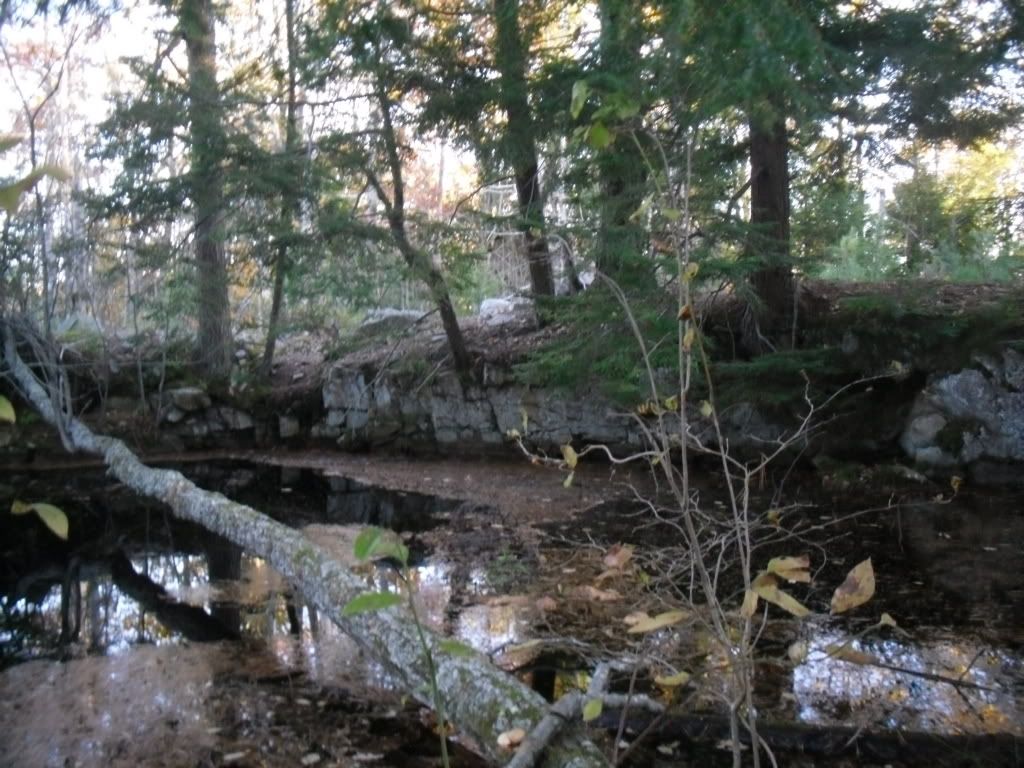
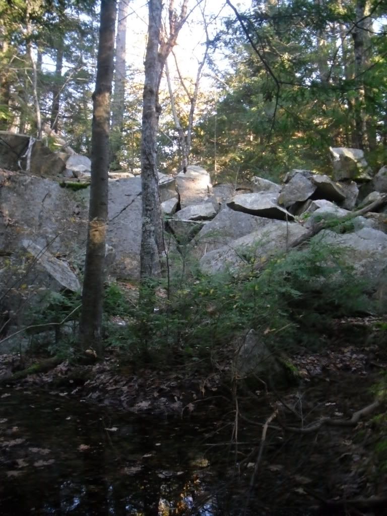
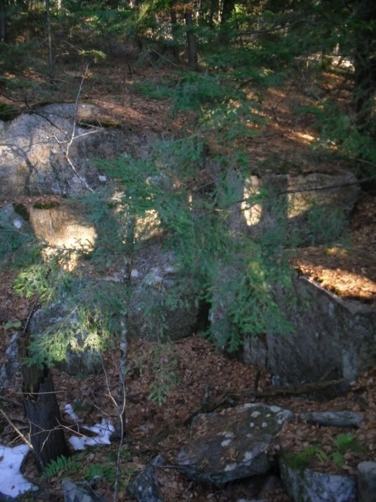
Our second attempt was a touch more fruitful. We found several granite quarries, many filled with water, and most covered by secondary growth to the point that it was hard to identify features. We tried several of the other paths available, discovering much to our dismay that we had passed within feet of the largest granite quarry on our initial exploration.
There is still much to find. After researching the area and using one of the best tools ever, Google Earth, we have identified old foundations of what appear to be homes. After the weather thaws we will be right back at it before the undergrowth kicks in, and hopefully we can post more comprehensive documentation.
But in the meantime, here is a small gallery of the features we have found.

No comments:
Post a Comment