Wednesday, November 16, 2011
Knick-a-Weet-a-Who?
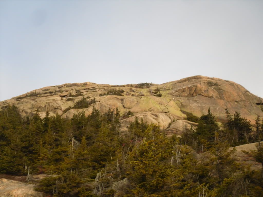
Mt Chocorua is one of a very small hand-full of mountains in the state of New Hampshire that has a bald peak but still has an elevation below 4,000 feet. It is likely one of the most recognizable mountains in the state, and according to the AMC guide books it is one of the most photographed mountains in the world.
I have been living in the state now since 2000 and many a time I have driven past the picturesque bald cone of Chocorua and the Lake at his feet, and often I had thought that it looks like it would make for an awesome hike. So when my girlfriend had mentioned that it is one of her yearly pilgrimages I finally realized that I would finally have my chance. I mentioned this to a co-worker and found out that it was one of his yearly pilgrimages too, and next thing you know we had three of us planning our next adventure to the summit.
After a few false starts due to weather and circumstance, finally on November 12 we arrived at the trail-head of the Piper Trail, named after the farm that the trail cuts through, and began our ascent around 7:30 AM. My friend Matt had suggested that we take the lesser traveled route (sometimes it ended up being the never-traveled route), and we has planned to make a giant loop out of the day, covering somewhere around 12 miles, but only retracing our steps for less than 1.6 miles of the trails.
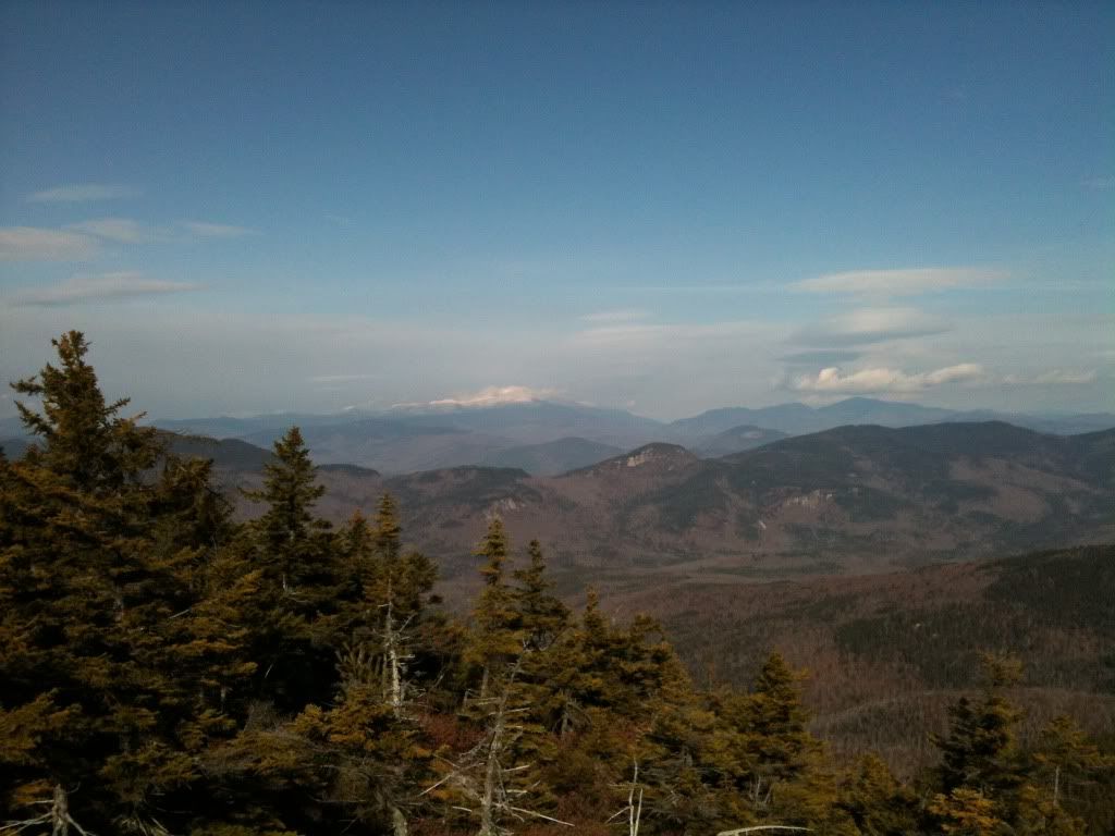
The morning was freezing but the sky was going to be clear, so the views from the bald summit were going to be impressive (and I have to admit, this has quickly become one of my favourite hikes). The Piper is a very gradual and easy trail for the first .6 miles until we reached the Nickerson Ledge Trail which takes a very steep ascent to the first of three peaks called the Three Sisters. It was also about here that we ran into three backpackers who had set up an illegal campsite, but until we joined back up with the Piper Trail on our way to the true summit, we did not see another soul. It was from a top the first peak of the Three Sisters that we caught our first glimpse of Mt Washington and the other Presidentials shimmering brightly in the distance.
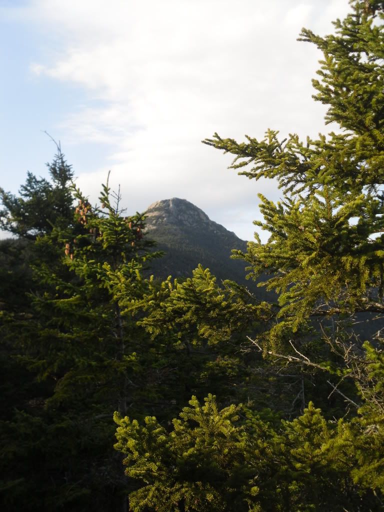
From here we picked up the Carter Ledge Trail, which happened to be a very gentle ridgewalk that takes you through tall thick forest until you reach your ascent on Middle Sister Trail to the peak of the Middle Sister. Once attaining the peak of the Middle Sister you get some really excellent views of the false peak and the true peak of Chocorua.
We visited the weather station at the top, caught a quick snack before we continued on to the mail goal looming darkly ahead.
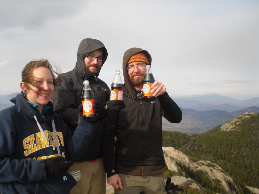
The peak was reached somewhere around 1:30 PM. Significant because we had covered a decent amount of ground of fairly difficult trail in a short amount of time, but also because we had to book it as quickly as possible if we wanted to arrive back at the car in time for sundown. We paused to take in the view from the summit, have a celebratory Moxie and then prepared to begin the trek down.
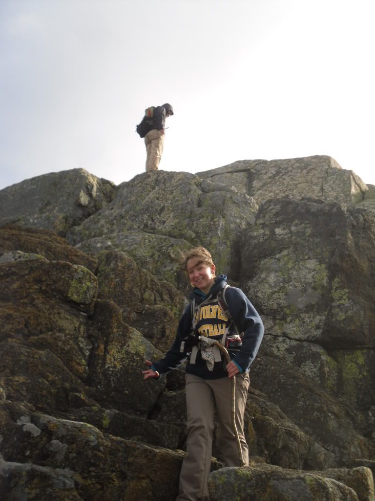
It was about here that we couldn't locate the trail, and somewhere below us on a ledge we could see a cairn indicating that the trail was somewhere below. Matt had been this way several times, so Heidi and I followed. It was about here that the next 500 feet of descent got a little hairy. Friction was on our side, and after Heidi and I had a few moments of tense bouldering and fancy footwork we joined up with Matt who had taken a slightly more difficult route that involved a ten foot slide through a crevasse to reach the trail below. Hopefully this act will not be repeated again.
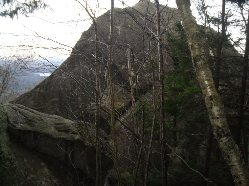
From here we reached the Liberty Cabin and broke for lunch seeking shelter from the wind. After wolfing down our PB&J, locating the geocache and leaving a package of peanut butter crackers and a Nature Valley bar, we continued on to the Hammond Trail and Weetamoo (not sure why, but the name of this trail just strikes me as funny). On the Weetamoo we encountered the former summit of Chic (two massive boulders toppled over by glaciers), and then after a river crossing, we returned to Piper, and 1.6 miles later, the car. End time was just after dusk, around 4:35 PM
The total mileage attained was somewhere around 12 miles (give or take thanks to the harrowing descent from the peak and then some milling about that we did on the way up). And after a well deserved stop at the Pizza Barn and the destruction of a Farmers Daughter, we returned home.
Mount Chocorua is honeycombed with many trails and alternatives to reaching the summit. The list of trails we followed in only one of many options available. Upon first glance at the distances involved, it is very easy to be deceived and to think that your hike will be easy (from the trail-head of Piper, the distance to the peak is 3.6 miles). Do NOT be deceived. Bring plenty of water for this hike. Even in cold weather, you can quickly become dehydrated without even realizing it. Also, arrive at your trail-head early. The trails are frequented throughout the year, but following some of the lesser known trails you will find that you are by yourself which leads to another point: stay on the trail. There are many ledges and it can be easy to lose your way.
Though the mountain is below 4,000 feet, I would have to rate this slightly higher than the Mount Washington segment of the Presidential Traverse. Though less technical, the trail is slightly more difficult in regards to the amount of elevation that you gain in a very short amount of time.
Simply, some New Hampshire Fall hiking at its best!
Labels:
Hiking,
Mt Chocorua,
New Hampshire,
Sandwich Range,
White Mountains
Subscribe to:
Post Comments (Atom)





No comments:
Post a Comment