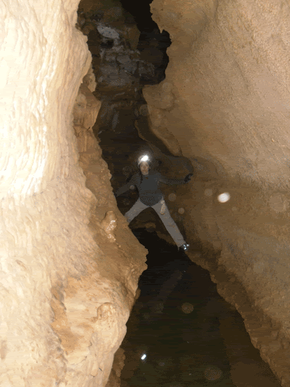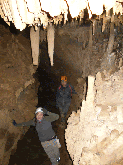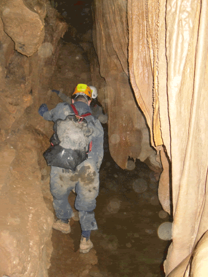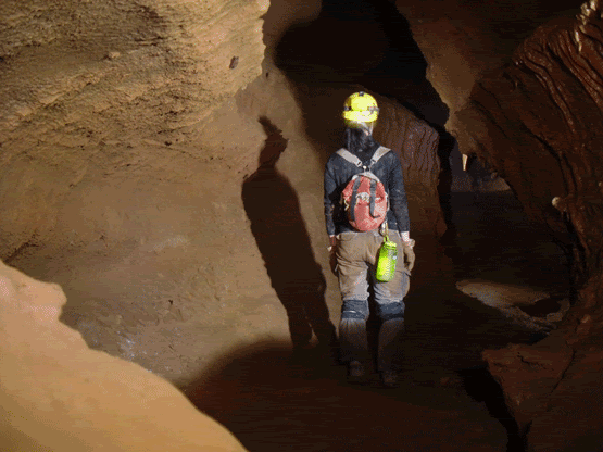
Showing posts with label caving. Show all posts

Wednesday, October 10, 2012

My Search for Floyd Collins


The gravel road, in itself, is very unremarkable.  It is unmarked as it branches away from Flint Ridge Road, and the gate is posted simply with "Do Not Block the Gate".  The temperature registered 106° F as we set off on foot, the car parked well out of the way of the gate.  The ice in my nalgene had already melted and the sun beat down cruelly...yup, this was going to be a long, hot walk.

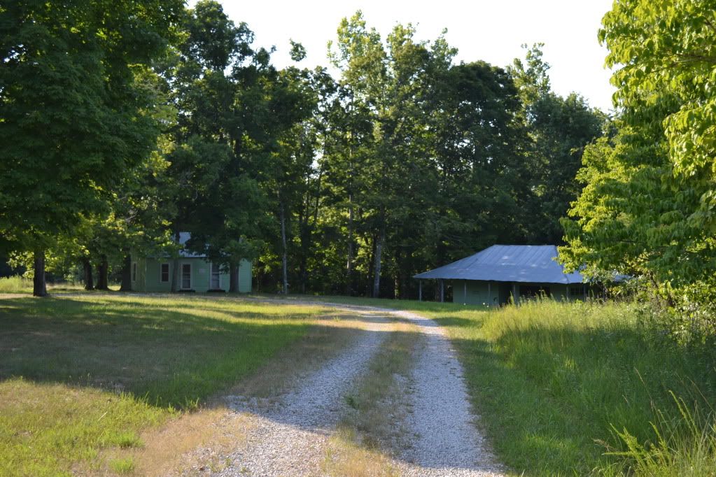
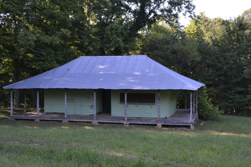
After about a mile and a bit of walking along the level road, two structures emerged in the grassy area in the woods and a broad smile wormed its way across my face.  "Well look at that, its the old ticket building and the old Collins' homestead!"  This is what I was hoping to see on this particular walk.  What brought us out here on the hottest day so far of the year to a rarely visited corner of the Mammoth Cave National Park in Kentucky? One man:  Floyd Collins.


First, just a touch of history.  West Virginia, Ohio and Kentucky all sit on some pretty significant coal resources.  There is a saying that America was built on Pennsylvania Steel and West Virginia Coal.  The area of Central Kentucky is not one of these areas.  The land is mostly farm country, and as is typical of the limestone belt, its not the best farming.  The soil is poor and thin, however it does produce caves and mighty long ones at that.  Mammoth Cave had been a tour venture after the War of 1812 with the British and soon several other caves opened for the adventuresome tourist...and as a tourist back then you had to have a sense of adventure in order to travel out there.  The roads were in rough shape... accommodations were scant.  Eventually a train was put in that would stop at the various caves and a series of grand hotels were constructed at Mammoth.  The last cave on the road was Crystal Cave discovered by Floyd Collins.  Many of these caves competed bitterly among each other in order to bring in visitors, often a gentleman referred to as a "capper" would hop onto your car on the rugged drive out to Mammoth and inform you that Mammoth had collapsed or was under quarantine (as an interesting side note, Mammoth was used at one time as a ward for people suffering from Consumption, now known as Tuberculosis) and would persuade you to visit some other cave instead.  This was the time of the Kentucky Cave Wars.
Floyd and his family operated Crystal Cave, where during the day Floyd and his brothers would give tours, but after hours Floyd would disappear into the mazey depths below.  Sometimes for days.  Usually alone.  This is against the current conventional wisdom of cavers today, but during the Cave Wars this was serious business;  if someone finds an entrance to your cave on their property there is nothing to prevent them from exploiting that entrance and making money off of your find.

In February of 1925 Floyd decided to take a gamble on an overhanging sandstone ledge that contained a small, already known cave on the property of  Bee Doyle.  This also happened to be the first cave one would see on the way from Cave City.  They had come to an agreement that the cave would become a commercial venture and that they would split the profits 50/50.  Floyd had already done some preliminary work with explosives and had gone in to clear out some rubble when, on his way out, he nudged some loose rock with his foot.  Rock shifted and he was unable to go any further.  He was trapped.  The next morning when Floyd had not returned home, his brother arrived and found him, unable to free him from the cave.  More people came, and soon he became a media sensation.  Floyd Collins is perhaps  the most famous person you have never heard of.  There was even a song written about his ordeals underground, and perhaps if your grandparents were around during the 1920's they may remember what happened or they may have the record of the infamous song. To put it in perspective, over a period of 17 days, over 10,000 people crowded into the fields surrounding Sand Cave.  Many of the local families put up out-of-towners, for a small fee, and there was money to be made selling food and a mysterious clear liquid that was distilled only by the light of the moon.
During the rescue efforts the passage leading to Floyd collapsed and no one was able to get food to him or report on his condition.  Two mining and well companies were brought in to compete for digging a parallel shaft in attempts to dig in below him to extract Floyd and return him to the light of day.  After some misfortunes with that endevour, they were finally able to dig a shaft in and they found his lifeless body on the seventeenth day of his entrapment.  Floyd lost his battle with Sand Cave.  The visitors left, the hillside resembling a field after trench warfare and silence returned to the Kentucky hills. His body was finally removed by a group of coal miners and he was later buried in Crystal Cave for a time, and soon after Mammoth Cave was adopted as a National Park, eventually acquiring the property that contained Sand Cave and after many decades, eventually the Collins' Homestead and Crystal Cave.

I had become familiar with the story of Floyd, as many cavers have, since his is a cautionary tale of caving alone and the mishaps that can happen.  I even read the book Trapped! by Robert Murray and Roger Brucker which gives a fairly detailed account of the events before, during and after Floyd's demise.  I learned of "Skeets" Miller, a reporter, who had brass balls and perhaps spent the largest amount of time with Floyd during his entrapment, and of the fact that people had failed to notice a small side fissure that led down to a space under Floyd where the rock that trapped his leg could have been lifted and Floyd would have been rescued.  And perhaps the most appalling thing was the large amount of food tins stuffed into cracks of the passage and were never passed through the collapse to the weakening caver starving below.
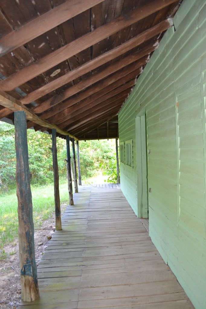
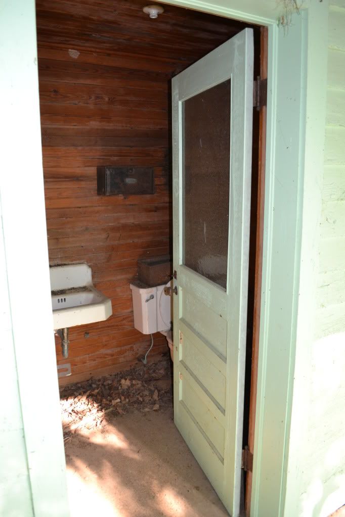
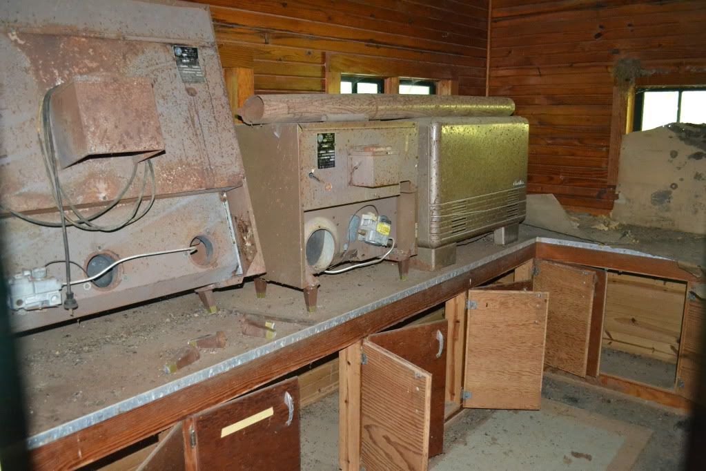
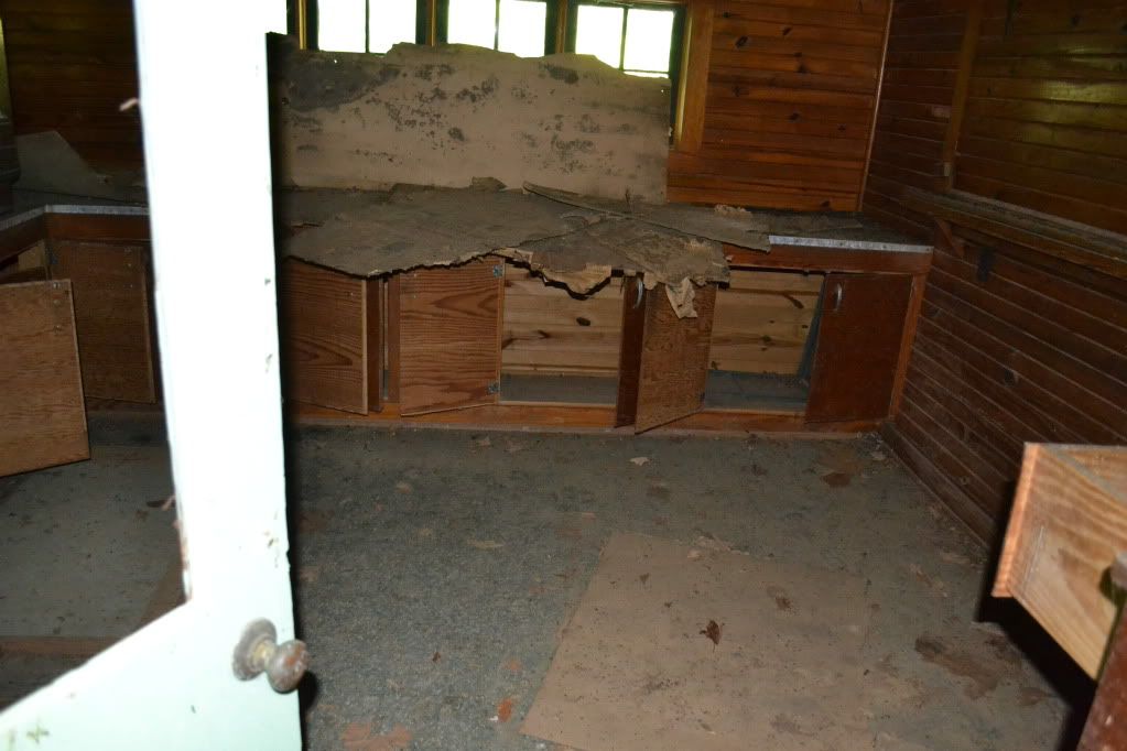


Upon arrival at the Collin's Homestead we first had to check out the ticket building.  Though the windows were shuttered the doors were wide open.  I poked into the ticketing office and quickly made a retreat...something in there smelled dead.  Very very dead.  In the dim light filtering through there appeared to be a couple odd looking bits of unidentifiable equipment and an old mattress on the floor.  Further around the other portion of the building were long out of use toilets.  Next we pressed our noses against the window glass of the house itself.  It is hard to imagine that a house of this size, only three or four rooms, once held 10 inhabitants.
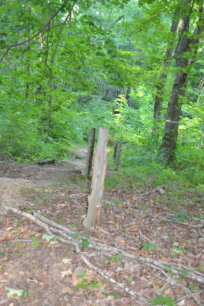

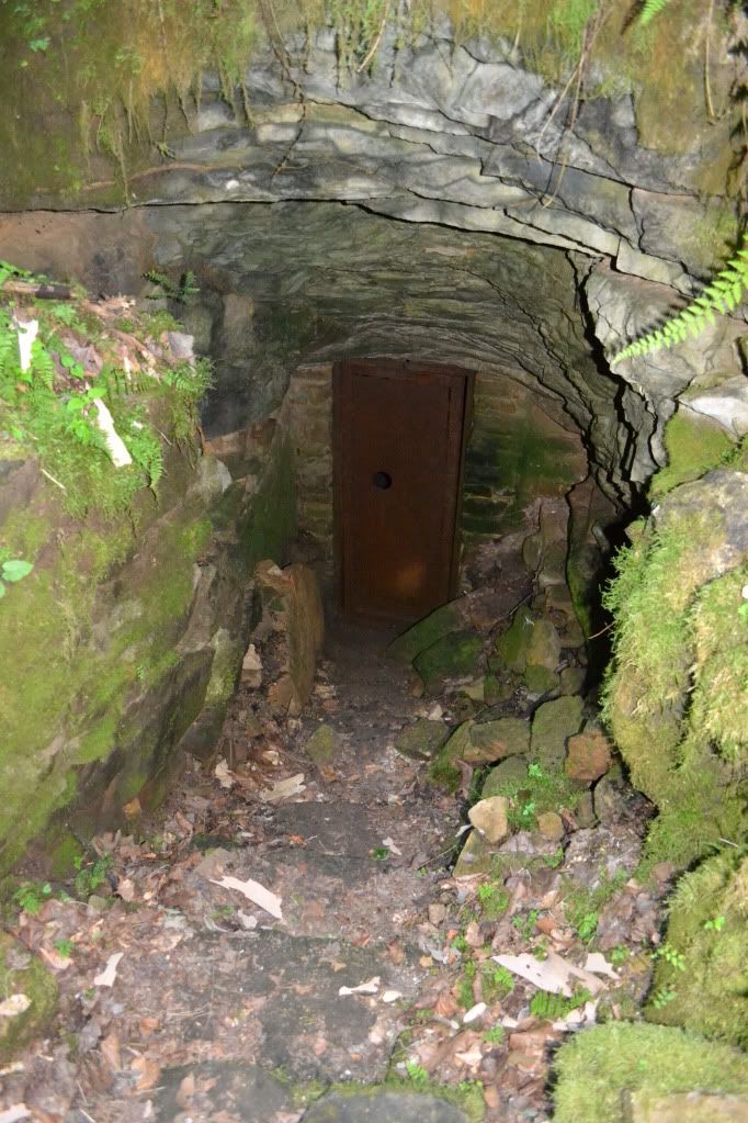
Between the house and the ticket building was a well worn trail leading down a hill.  This was definitely the trail down to the entrance of Crystal Cave.  The handrails are now gone, only a few of the supporting uprights exist now.  Th trail rounds the corner, and something very out of place confronts you...a red warning sign explaining that the cave is not to be entered.  We were not going to enter the cave however.  Aside from trespassing, it would be fruitless since we didn't bring any  gear.  The path continues down steps through some very beautiful ferns and columbine until we saw the quiet open mouth of the cave.  A few feet beyond where it starts to get dark is a steel door that halts further progress into the cave.

Amazing to think that in the not so distant past, this was the starting point for another epic journey that has been largely forgotten except by the caving community.  For, through that steel gated portal, many generations of cavers followed Floyd down the Valley of Decision to the Devil's Kitchen, left though the Gypsum Route to the Scotchman's Trap to where the cave REALLY begins, eventually leading through the bowels of Flint Ridge to the surrounding caves an eventually connecting to Mammoth Cave, making the Mammoth Cave-Flint Ridge-Joppa Ridge System the longest cave in the world.
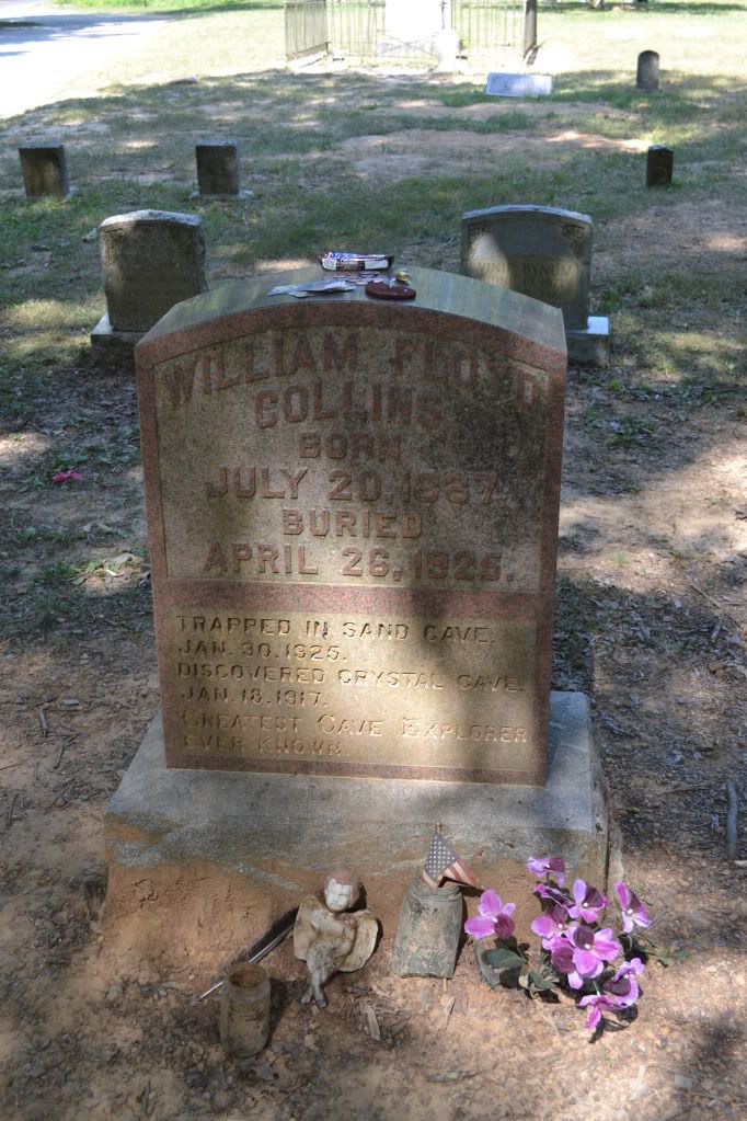


Floyd's Body was eventually laid to rest at the Flint Ridge Cemetery after having been on display in the cave he discovered, kidnapped from the cave he discovered and found tossed over a hill, re-interred in the cave and later put to rest next to his father and birth mother.  The headstone is remarkable for several reasons: the granite headstone is the original that was placed in the cave when he was buried, and secondly because it is lacking a date of death (post comments with what you think might be the reason for this).  When visiting the grave it has become customary for cavers to leave behind a small token of some sort.  I placed a Snickers bar on his grave which I am sure melted immediately in the 100° F + weather.  Just a little something for you there Floyd.


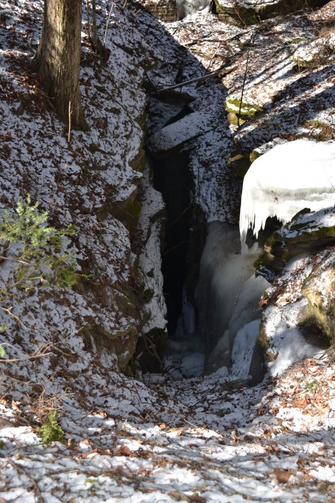
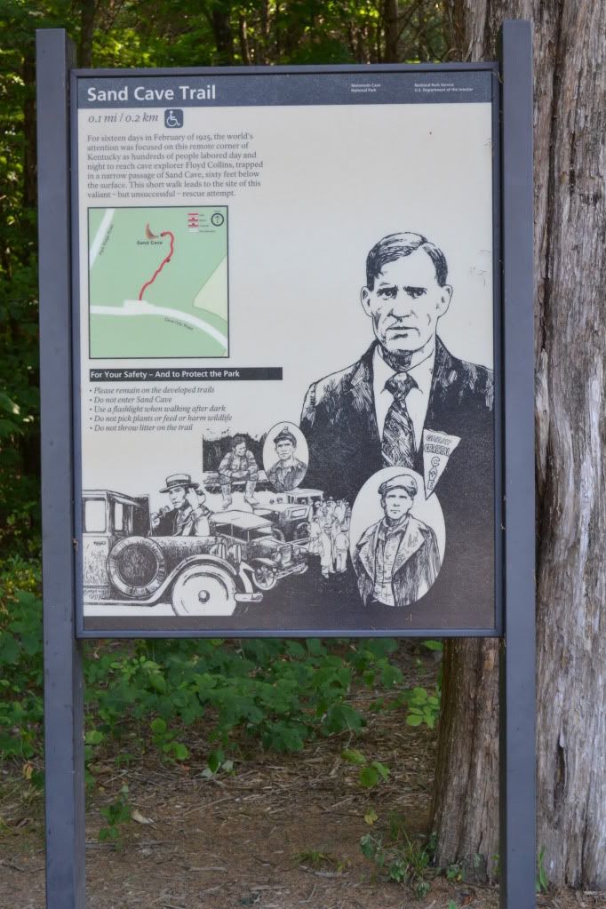
After visiting with Floyd we drove out to Sand Cave which is right at the Entrance to the Park.  The walk is wheelchair accessible via a boardwalk and is a pleasant walk through the wood.  The walk ends at a platform situated above the solemn and damp entrance to Sand Cave.  It is here that men laboured around the clock to save Floyd from the narrow passages below.  A faint path leads off the end of the boardwalk, over the upper edge of the entrance and then down natural steps to the entrance (this is off the official path, so stepping off is you assuming the risk of doing so).  My price of admission was the garbage I picked up along the way.  I took a moment standing in the summer light, the sound of water dripping from a hidden passage under the ledge above.
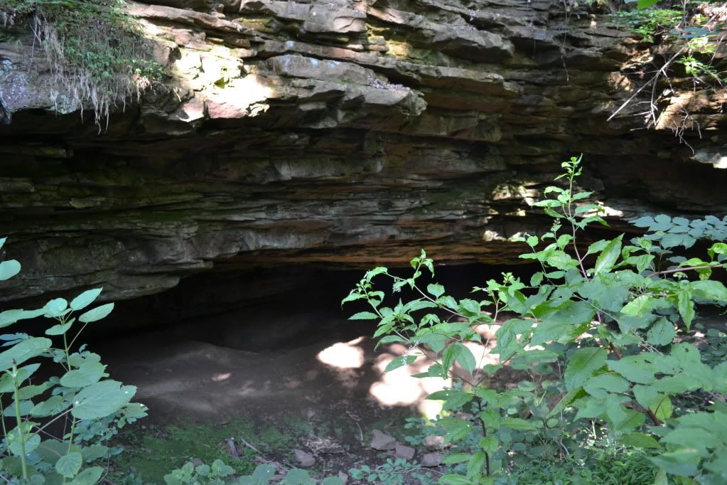


I would have stayed longer, but my scheduled tour for the Violet City Lantern Tour was about to begin.  It would prove to be one the the highlights of my trip to Mammoth Cave, so if you ever get the chance, I highly recommend the tour.  I also recommend taking the time to visit Sand Cave and the Flint Ridge Cemetery.  They are both very accessible pieces of history that has been largely forgotten by modern times, but back in the mid to late 1920's this was a story that was known well throughout the United States.

The song, performed by Vernon Dalhart is "The Death of Floyd Collins", is another piece of Americana that is not to be missed.

Please visit the website for more information about Mammoth Cave National Park, which is open year round for cavern tours.  Keep in mind that the tour schedule varies by season and during the busier times of the year tours can fill up very quickly, so online  reservations are recommended.  Solid and comfortable footwear is highly recommended as well as a sweatshirt or hoodie.  Walking to the Historic Entrance is surprisingly cool and windy...afterall, there are over 390 miles mapped of the known cave, that's a of air that moves when the weather changes.  Prices vary depending upon tours, but incredibly reasonable in comparison to the privately owned commercial caves.


Monday, February 27, 2012

How Cavers and a Commercial Cave Came Together to Help a Community


August of 2011 Hurricane Irene brought devastation in her wake throughout the eastern United States, but perhaps no other place experienced as much damage as the states of New York and Vermont where covered bridges over a century old were wiped out, towns nearly erased from the map and thousands of people were left homeless, many without financial recourse from insurance companies and assistance from federal agencies.  Now, over five months later, many towns and residents are struggling to recover.


(image from Cornelle University Cooperative Extension Emergency Preparedness website)

Schoharie County in New York, one of the areas hit heavily by Irene and Lee, is known for its beauty, rich farmland, and to many cavers in the northeast, holds some of the most significant cave systems in the area.  Cavers became a valuable resource assisting in rescues and clean-up efforts.  Its the least that they could do to repay the generosity and hospitality of a community that many cavers have come to know well.  Countless hours spent in clean-up and recovery, thousands of dollars raised, and more is still needed.


An idea was birthed by a member of the Boston Grotto, Northeast Cave Conservancy and Howe Caverns to provide the opportunity for a number of cavers to enter a section of Howe Caverns that is not frequented by the general public or people who go on their wild-cave Mystery Tour (that gives people the opportunity to visit the Colossal Dome, a feature that is 104 feet tall and ending before a segment of cave called the Lake of Mystery).  Beyond the lake are several hundred feet of passage requiring a wetsuit in order to brave the 42° F water and to explore an area beyond that has been poorly mapped and not documented in photographs.  The price of admission...a donation that all proceeds raised would be donated to the Schoharie County Community Action Program to assist with flood relief.

I was fortunate enough to get on the list of people to attend the trip that took place on February 25th, 2012. Our main goal was to raise at least $1000 dollars for the Schoharie County Community Action Program and supporting a community that had already shared so much with us; our secondary mission was to pass the Lake of Mystery and then map and document for Howe Caverns, the series of passages, formations and streams beyond.

My girlfriend Heidi and I left our New Hampshire home around three o'clock and started our five + hour drive to Cobleskill, NY for what was sure to be a great adventure.  The weather much of the way was not too bad until around 6:00 PM when we crossed the border into New York that the weather began to turn grim.  But, after arriving in Cobleskill and eating at perhaps the only Arby's not to have been renovated to keep up with the modern era, we settled in at the Howes Caverns Motel for what turned out to be a fitful night's sleep as Winter was passing through, reminding us that though things have been calm weather-wise, it isn't done with us quite yet.

The next morning, after double checking my photo gear and make sure my bin was packed, we arrived at the caverns lobby which was already filling up with bins of gear, cavers, reporters and their camera crew.  Many were cavers that had not seen each other for a few years, others were well seasoned friendships and then there were the new folks that I didn't recognize either by name or face.

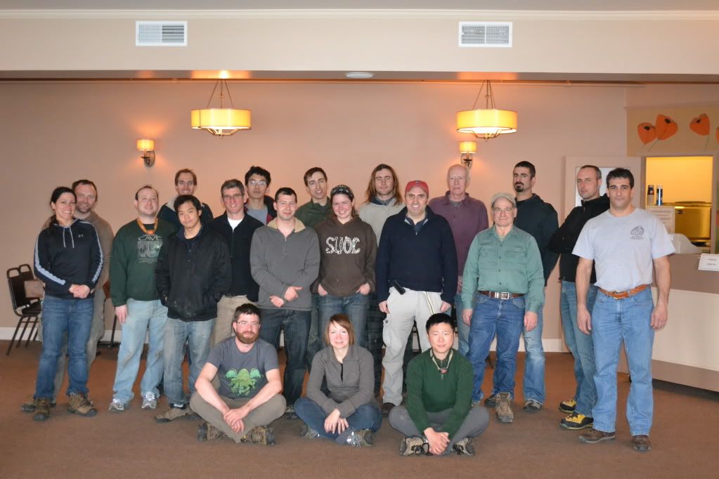
Members of the Howe Caverns trip
by J. DeGroff

At around 10:00 we piled into elevators and were taken down to the beginning point of the tour, directed down a tunnel and then arrived at the Mystery Passage located at the end of the Winding Way.  While everyone was suiting up a local television crew interviewed several members of our team as to what were were expecting, what were our motivations for going and who we were there to help.  After everyone was suited up we started off through Fat Man's Misery for the far flung recesses of the Reynold's River.

Click the link above for the segment filmed by YNN and a view of the red-beard of yours truly (lol).

From Fat Man's Misery to the Colossal Dome is the section called the Mystery Passage that tourists, for an extra fee, can enter a non-developed section of cave through a mostly hands and knees crawl to a bear-cawl and then eventual walking passage up to the Great Rotunda, a really impressive feature that extends 104 feet in height.  From here we were to enter the wet section of the cave.  I was the fourth person in line and by the time the water hit my chest I had to back out in order to catch it.  If you have never dunked yourself into 42° F water before, your first reaction is to hyperventilate.  I caught it finally, re-entered the water and was waiting to push ahead.  Ahead of me was Mike Chu and Dave Crusoe.  Both were reporting back that the way had a VERY low airspace and they were alternating trying to push through using a technique that I term 'lip-snorkeling'...lay on our back feet first and push your nose and lips to the ceiling.  A few minutes later they returned, very chilled and reporting that they were not quite comfortable pushing ahead.  A little later two other members of the team pushed ahead...and later returned with similar results.  We returned to the Great Rotunda a little disheartened, it appeared after-all that the hurricane that we were trying to help a community defeat had in-fact defeated us.


Mystery Passage
by A. Tester


Mike Chu standing just inside of the Great Rotunda
by A. Tester

 While everyone had a few tense moments (meaning an hour and fifteen minutes) waiting for word from the two cavers who managed to get through the low airspace, I returned to the passage leading to the Great Rotunda to take some pictures.  At this point I discovered that one of my flashes and slave units were completely swamped!  So down one flash, I set up what I could.  Afterward I returned to the Dome to get the scoop one what was going on with the cavers beyond the low-airspace and then slowly returned to the surface.


Members of the YNN camera crew from Chanel 6 Albany
by A. Tester

By two o'clock the two cavers beyond the low airspace before Mystery Lake were accounted for, and everyone had returned to the surface.  No one was disappointed by the fact that we didn't get to the passages in the Reynold's River section.  After all, the reason why we came together to this place was to raise money and to raise awareness of the plight of Schoharie County.  So, though the in-cave goal of mapping and photography didn't happen, we did raise over $2000 for the SCCAP!!!!


The Winding Way
by A. Tester

Our Hosts, Howe Caverns treated us to an awesome dinner and then we were lead on a tour of the cave by Jeff DeGroff, one of the coordinators of the event after which many of us said our goodbye and headed home.


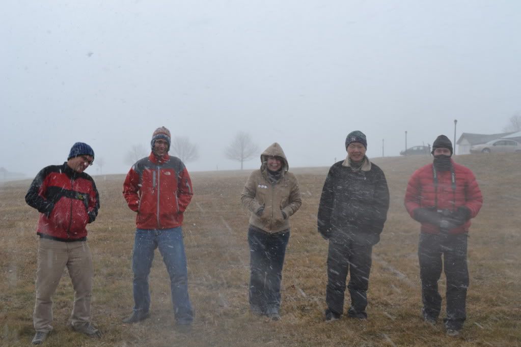
Members of the Boston Grotto in a snow squall
by A. Tester 

Since Dee and I don't make it out this way too often we took the following morning to visit the NSS (National Speleological Society) property for the McFail's Cave Preserve.  The cave is currently closed for the hibernating bat population, but one can visit the above ground portion which has many striking karst features where streams just disappear into massive fissures in the ground.


All in all it was an amazing trip.  Perhaps one day we'll get word that the water levels have dropped enough to permit us to map and document the far reaches of Howe Caverns, but until then there is a lot of work still to be done in Schoharie and the surrounding counties.  If you are interested in either volunteering with or donating to the Schoharie County Community Action Program, please visit their website.  There are also many other communities throughout New York and Vermont that could use the help too.  If you are also interested in see what caving is all about, please visit www.caves.org to search for your nearest grotto.

Thursday, June 25, 2009

Marshall's Cave


Highland County, Virginia is a hotbed of cave exploration. Home to some of the longest caves in the state, the Chestnut Ridge cave systems and the systems of Burns Cove move massive amounts of water. And I do mean massive. The Butler-Sinking Creek system is now recorded to be seventeen miles long, and the related Chestnut Ridge System is fourteen miles long. The two are related hydrologically, as is nearby Aqua-Lockridge, and on the other side of the mountain is the Water Sinks System which is thought to possibly be a major contributor to the fridgid waters of Aqua, also known as Refrigerator Spring. Across the Cowpasture River is a small trail about a mile long that leads to one of my favourite places under-ground, called Marshall's Cave. When pondering the caving possibilities for the Boston Grotto/MIT caving trip back in February, this cave was one of the first that came to mind. I had last visited the cave about fifteen years prior, right before I left for college with my friend Christian, and I remembered being impressed with the absolute scale of the formations and the picturesque cave passages. This is not the longest cave I had ever been in, but it certainly was the most formated and large, complex horizontal caves I had ever been in.

After an evening of recovering from the Valentine's Day adventure of Site's Cave, and late evening debacle of locating Cave Rat Cave, finding out that we couldn't get into Cave Rat Cave through the horizontal entrance so aborting the trip instead of a hike in snow flurries to Kee's Cave in Franklin, this I felt would be the crowning jewel of our trip into the heart of West Virginia caving. True, Sites was very challenging from the technical aspect of rappelling and ascending out, but this cave would give us a good work out, and give me a chance to strech out my legs.


Genita and Darren had left us the night before, so it was just down to Keluo, Amy, and Madeleine who had joined us later the previous afternoon. We drove the thirty or so odd miles down a non-descript country road to the Bull Pasture Recreational Area near Williamstown, Virginia. Following the Cow Pasture River, you could smell cave, and the weather was quite mild, in the fifties, compaired to our weather back home in Massachusetts and New Hampshire.

After locating the parking area, and gearing up, we headed across the suspension bridge to the far side of the river, and picked up the trail to the cave. The cave is not readily spotted since it sits high on a talus slope overlooking the river, and the only indication that you are close is when the trail crosses over a spring (which is the resurgence for the stream in the lowest level of the cave). Spotting the talus slope, we all turned up the faint trail. People do come to this cave, but my guess is that it is fairly infrequent. I have NEVER seen another group of cavers in it, and when I mention the name of Marshall's Cave, I usually get blank looks from many Virginia cavers. Either is it forgotten by most, or they just don't know about it.


Amy and Madeleine lead the way into the cave, stopping to take pics of the small brown cave spiders that have made their home in the entrance area (for the squeamish, they are really small, and if you weren't looking for them, you would never really notice them). The passage is made up of grey limestone...even the formations are grey, and what formations are there, they have been broken off by vandals. However, we didn't come here to see the broken ones, and shortly we made our way through a few narrow squeezes before arriving at the pits that lead down to the middle level. Fifteen years ago I remember breaking out the ropes and rack to rappell down the twenty-five foot deep holes, but after a little investigation, the use of vertical equipment would be of no use, so we left the rope behind.

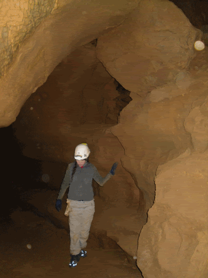
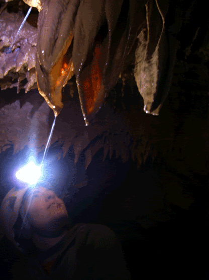
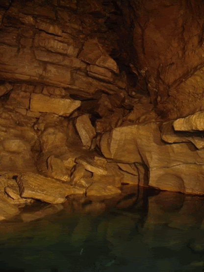
After this easy climb-down is where you first encounter the first major obstacle of Marshall's cave. Water. The water is so still that it is hard to discern where the water actually starts. But it is also here where Marshall's true beauty starts to show itself. The formations are active, still receiving the mineral laden water that slowly builds them up. The passage is a narrow canyon passage that you have to traverse by putting your feet on the opposite walls and "walk" across, hoping not to get into the cold water. This is easier said than done, as the formations partially block the passage, causing you to sometimes bridge yourself across, duck under formations, and occasionally climb...all while trying not to fall in. Keluo was the first casualty of the trip when he attempted a duck under that brings your face within a couple feet of the water, and his foot slipped and ended up thigh deep.

On about three occasions you reach a formation choke in the passage, and the only way to continue is up the wall, some of them with tricky hand and foot holds. For someone whi is trying to learn various chimneying and non-rope based technique, this cave is quite fun and offers opportunities for you to stretch yourself. Finally, after this third formation choke, and climb up the wall, there is a fifteen foot drop that you don't want to go down, and building up the confidence that you can do it, and your dependency upon friction can be a little disturbing at first, but not too difficult.


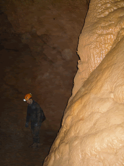
After crossing the drop, there is a climb down to the big part of the cave. It is a fairly tall canyon passage full fo large formations, mostly columns and flowstone that reach forty feet to the ceiling. Following this passage back, we spent quite a bit of time photographing the formations and the occasional bat. The passage quickly goes from walking to stooping, and then finally it appears to end. I remember fifteen years ago that there was a gypsum flower (a formation where the gypsum, usually a mineral of drier caves, almost seems to have been extruded from the rock like toothpaste) but it is gone. This could be due to increased moisture in the cave or, more likely, someone decided to take it home (where it turned into disappointing dust most likely).

To the rest of the group it almsot seemed like a disappointment...we had reached the end of the cave. Not quite ;) We turned around and headed back toward the entrance. Part way back the passage, I asked the group to stop and look by their feet. There was a small opening that lead into blackness. This is the entrance to the lowest level of the cave. After Amy slipped into the darkness, the rest of us followed, and then slid down to the bottom. It is here that the ceiling are really high, a good estimate is about seventy-five feet or so. It is also here that there is the stream that resurfaces at the spring that we crossed on the way in. Amy and Madeleine disappeared among the formations toward the back of the room. Keluo and I took some photos and I took the time to change my batteries. I was trying to encourage the group to take a sip from the stream, going against all presuppositions that one shouldn't drink unless it is from a tap, but it is the sweetest, cleanest tasting water I have ever had.


Marshall's Cave is located in the recreational area near Williamstown, Virginia. Though horizontal and following in pretty much a straight line so it would be difficult to get lost. However, that being said, please do not go caving unless you are with a minimum of three people, three independant sources of light and at least the basics of caving gear. If interested, please get in contact with your nearest grotto, or if you have any caver friends. The last I knew, this cave is currently closed due to federal and local governments folling the recommendations for the protection of bats from White Nose Syndrome. Though this is not a "bat cave" per se, it is the policey of many places that no one enter the cave to prevent the spread of this tragic condition afflicting our bats. As a caver, it is our responsibility to be like the Lorax and speak for the bats. We were very fortunate to have been able to get in the caving that we did in West Virginia and Virginia when we did since they closed the caves shortly thereafter. There are caves that are open, please check available web resources and with local grottos (caving clubs) to get information on what caves are available for entry.

Sunday, June 21, 2009

Clarksville Redux


May 23rd we revisited Clarksville Caves just outside of Albany, NY. As I am trying to light a fire under some friends' tails to get caving ('cause after all, the world could use a few more responsible cavers out there). We drove down the previous Friday evening hoping to arrive at the hotel before 11:00 om (like the last time), and after some crafty maneuvering on my part, we arrived just after ten o'clock (I don't drive like a granny ALL of the time).

So, after a good night's rest we arrived at the now familiar sink of Ward-Gregory, aka Clarksville cave. We found that we were the second vehicle to arrive, the first person was a very informative gentleman who happened to be a representative of the Northeastern Cave Conservancy (and is also the warden of nearby Onequethaw Cave, a very wet cave with some notorious features such as "The Barnyard"). He asked us if we were familiar with White Nose Syndrome (a disease that is responsible for the death of approximately 1,000,000 of the hibernating bats in the affected area, some of which are the endangered Indiana Bat Myotis sodalis and the adorable Virginia Big Eared Bat Corynorhinus townsendii virginianus. The fungus has just been classified and more can be read about it here). I explained that we were, and of my recent trip down into Virginia and West Virginia and what we had found there.


So, we headed into the cave, this time our goal being to get better pictures than the last (caves have the amazing ability to swallow light as it turns out), and to finally make it back to the Lake Room, a goal that we fell just short of as it turns out the last time we were in.


Clarksville is always a joy to go into, even though it is well visited. The recent good rains had raised the stream level a bit, but nothing that the use of wet-suit socks couldn't keep at bey. After reaching the point where we had stopped the last time (just upstream of the Thook Passage and Pictograph Crawl, I scouted ahead through an up-climb and found the passage dropped back down into a pleasant if not wet walking passage. The trick was to get everyone else to do it! After a little cajolling, and allowing the novices to lead, we made it through and came upon the Lake Room. After a few minutes of picture taking (this time with a mini-tripod and using Keluo Yao's light painting technique) we headed back through the crawl to the main passage. One more stop for picture taking (and did a not too shabby job), we headed out for some lunch at the neaby, recently re-opened establishment called June's for some hot coffee and brunch. All in all, a sucessful introductory trip into Clarksville Caves.
Sunday, March 1, 2009

Outta Site's


Above the day is bright, sunny, warm while below is one hundred and fifteen feet of nothingness; a lone caver shaking uncontrollably, out of breath, sweat soaking through layers of polypro. He is begging her to let him go, and once again stares up the stony throat of Site’s, suspended between safety and the voices of five cavers drifting up from below. The rope is not sliding through the croll ascender yet again. He yells, “PULL!” He spins slowly in the air. What the hell have I gotten myself into? he thinks. Finally, feeling the rope tighten through the ascender, and mustering as much strength and sheer force of will, he draws his legs up underneath, grunting loudly, stepping down in his foot loop and drags the chest ascender up just a few more inches toward the surface…
For being a trip leader, I am setting one hell of an example …

I grew up in the hills of Virginia about three hours east of Franklin, and became familiar with the area once my grandparents moved to the area when I was about 12 years old. My grandfather worked for the George Washington National Park Service as a groundskeeper, and he found a small crack blowing air with a creek flowing out of the bottom. He took it to me and I was hooked.

So, when the trip to Franklin, West Virginia lost its original trip leaders, I felt somehow obligated to step up to the plate since I knew the area fairly well, though it had been about 15 years since I had ACTUALLY been caving in West Virginia. I knew I was going to need some help. Being from New Hampshire and a fairly new member of the Boston Grotto I didn’t really know anyone in the group. Keluo Yao, who also signed up for the trip, was naturally a good choice for a co-trip coordinator, and if it wasn’t for his help, this trip would not have really happened (so Keluo, I am in your debt).

Eventually, through both of our efforts, ten people signed up for the trip and six people confirmed that they were going on the trip. Made mostly of current and former MIT students, the trip group was made of: Amy Lin, a grad student from MIT, Genita Metzler and Darren both former MIT students, Madeleine Sheldon-Dante another former MIT student, and then Keluo and me. Amy and Keluo met me at the student centre at MIT at five o’clock on Friday the 13th (auspicious day to begin a caving trip). After miles and miles of familiar territory, we arrived at the Thompson’s Motel around 6:30 PM. We ate dinner, poured over maps, and turned in for our seven o’clock meet time for breakfast in the restaurant.

After breakfast and catching up with Genita and Darren, we arrived at a small and non-descript jeep trail leading up the side of an equally non-descript mountain, and started the hike up to the entrance of Site’s Cave. The day started out cool and beautiful. For directions that followed the typical country instructions not including the innocuous phrase, “Up yonder”, they were excellent! We spotted the memorial plaque for Richard “Dick” Sanford, and then the nearby impressive maw of the cave entrance leading into the depths.


The group had doubts about how well the 250 feet of rope I brought, all snake wrapped, was going to unravel as it was dropped into the cave, but after its 185 foot trip to the bottom, we heard a satisfying thud as it landed somewhere below us. After buddying up and double checking each other’s gear, Keluo turned on his radios, and giving me one (since I was going to be the last to descend), he went on rope and began his slow drop to the bottom. What seemed to be forever, the radio squawked to life, and Keluo announced that the rope was free and ready for the next person to go down. Next was Genita, followed by Darren, then Amy and then finally it was my turn. I bid adieu to the sunny day, crossing myself, began my backward walk to the bottom.


Watching how the walls changed from jagged rock to smooth and then eventually hanging in free space was absolutely incredible. The rugged rock gave way to smooth walls bearing fossils of chrinoids, and then I touched down on the dirt and leaf slope twenty five feet from the bottom. Here, right at the drop, was an interesting obstacle, barely large enough to admit a human body through it. Finally, wriggling through something the size and shape of a public toilet-seat, I continued down and joined the rest at the bottom. Here we left our gear, and worked our way to the very bottom of Site’s.


The owner, Diane Zimmerman, had asked up previously to document the bats for any sign of White Nose Syndrome. We immediately began taking pictures of the bats, and looking for any dead ones on the floor. We found nothing. The bat’s glittered grey from the ceiling from the condensation on their fur. All seemed to be resting peacefully. We headed to the west toward the Big Room. For many in the group this was their first experience in a “big” cave, big at least on New England terms, and unlike many of our New England caves, this one also had plenty of formations for people to gush over. There is virtually no evidence of damage to the formations. It could simply be described as exquisite.


Once in the Big Room, Darren and Genita found a series of small passages leading downward at a steep incline, and after some debate, they rigged fifteen feet of webbing as a hand line to assist with the trip back up. Meanwhile, Keluo was working with Amy on time exposure photographs, light painting the room. Genita announced that there was a room at the bottom of their climb down and said it was worth coming down. Darren worked his way down, followed by me and a few embarrassing photographs, then the other two followed. Even with five people crammed into this small space one could still feel cool air blowing past us into something further, whispering that there was something yet to be found, but by this time we had reached the one hour mark when we were to return to the surface and call our contact person who was anxiously waiting for us to call that we were safely out. But we still had a lot more cave to go.


After climbing back out and returning to the main trunk passage at the bottom of the drop, we decided that it would be prudent for us to quickly check the rest of the cave. Amy and Genita went on ahead toward the Mud Room at the Eastern extent of the cave. We did have a brief moment qor panic when they were out of earshot and we felt it necessary to fetch them out. They did not quite make it as far as the Mud Room, but we felt that it was necessary to exit the cave promptly since we did have a sixth member who was also expecting us for lunch back at Thompson’s.

Being the last to descend, I was to be the first to ascend up the rope and then be the surface support person. I geared up, had Keluo check me over, attached to the rope and began my ascent. I started out strong, though I was having a little difficulty with the rope not passing easily through my croll ascender. With the assistance of the four to follow me up, I began up until I reached the strange body sized slot that the rope passed through. There is no graceful way to get past this, you just push off with your feet, jam a padded knee wherever possible, and work your way slowly and methodically up. I made it to the debris slope at the bottom of the 117 foot section. The entrance was far above with the warm bright inviting day beckoning. I tried to continue, but again came the difficulty of the rope passing through my croll, but this time because of the debris slope, my body naturally wanted to spin so I was facing away from the wall back to the people below me. I began to struggle, and my body was beginning to let me know that I was exerting myself. I stopped frequently. Sweat began to pour. What the hell have I gotten myself into? Can I do this? I practiced ascending many times over the summer while I was getting myself back into shape for doing vertical work. I KNOW that I can do this. The others started to call from below to ask if I was ok. I called back to them that yes, everything is ok, I am just getting tired. I continue my ascent. The entrance seems further way now. The rope continues to not slide through my croll. The first thoughts that began flowing through my already admittedly strange internal monologue are Oh my god, what if I get stuck on the rope? How are the others going to get out? Calm yourself! You’ve done this several times, you are just out of practice! You can do this! The others somehow were on a similar wavelength and started shouting words of encouragement from below.

Grunting loudly, and occasionally giggling I made my way up to where I could touch wall, and finding ledges, the ascent became exponentially easier. The entrance lurched closer and closer with each step upward. Grunting, I hauled myself out onto terra firma. Laying on my back in the bright afternoon sun, I picked up the radio and announced that I was safely off rope. In what appeared to be about one third of the time, Amy finally came into view, and eventually the rest. After making a drive back to the main road, and finding the elusive cellphone signal to announce our escape from the cave, I returned to the cave entrance, and the first thing out of my mouth was, “So who wants to go again?”

Sites Cave is on private property and the land owner MUST be contacted prior to the trip. It doesn't matter if you have been given permission before, you must inquire before every trip!

Sunday, November 9, 2008

Have you ever danced with the Devil in the pale moon-light?


I know it has been a while since there has been anything new added to NET, and I apologize, things being hectic with work and travel. And admittedly, the template that they give you for these thingies on Blogger are not all that...exciting? But its a template, and fortunately they permit you to make adjustments. Finally got my act together! :) So, here is a trip from 2008. More is on its way!


No, I haven't, nor do I think the Devil would like to dance with me...I've got two left feet, I have no rhythm, and well...that's just not quite how I roll.

But somewhere, perched high on a mountain-top, whose bald granite skull peeks through the growth of hemlock trees, staring grimly down upon Lake Winnipesaukee and Merrymeeting Lake outside of Alton, NH, the Devil has made his home inside this dark, wet and cold granite tomb. I had read about the Devil's Den in Haunted Hikes of New Hampshire by Marianne O'Connor (leave it up to the Irish to find the spookiest stuff around...I'm about 3/4's Irish, so don't bad-mouth us!), and is probably my favourite source for the spooky hikes of my adopted state. Evidently, the earliest accounts of exploration of the Den left Eathan Allen Crawford and some climber named Leavitt (according to Ms. O'Connor's book) shaken when they discovered human remains in the entrance. But a later party who entered the cave found neither the Devil nor the aleged human remains. Also, the Devil evidently likes living in New Hampshire since he made several "Dens" throughout the state, not just this one in Crawford Notch, but also in Barrington and Nottingham, NH (damn that Devil gets around).


The trail is not easy to find, and the cave itself is even harder. Taking Rt 11 heading north to Alton,NH you reach the traffic circle, take your immediate right as you approach (this is New Durham Rd). This becomes Main St. At the Fish Hatchery take a left. Eventually the pavement ends right around the point that the road takes a sharp right. You want to find parking around this area, but careful not to block in anyone's driveway. Straight ahead is a dirt, very rugged road that takes off up the mountain. This is the ATV trail that you want to follow, just mind the people on three and four wheelers...they will see you and slow down, they were rather friendly and waved and gave plenty of room. Now that you got that part down, you just keep walking. Eventually you will reach a beaver pond on the left side of the road, and the road starts an upgrade toward the top of a hill. When you reach the crest, keep an eye out for the trail-head on your left.

The trail is actually a very easy hike, and the rock formations are damned impressive. Eventually you will reach the peak of the mountain, with spectatular views of Merrymeeting Lake and Lake Winni in the distance (if you are trying to figure out which is which, the reeeeeeeeaaaaaaaaaaaaaallly big one in Winnipesaukee). From the top of the mountain the trail continues down the other side. If you are looking for the Den, this is where things get rather tricksy. The very narrow trail makes a few switchbacks. You will eventually reach a ledge in the middle of the trail (where it takes off steeply through the woods), and you want to bear LEFT LEFT LEFT...up over some boulders, and then the entrance is a gaping maw into the cliff face (even my description is confusing and hard to find).


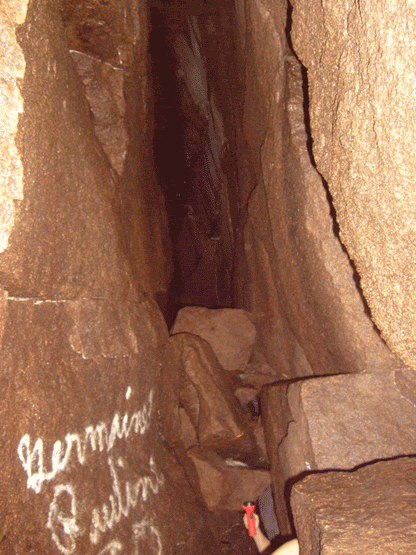
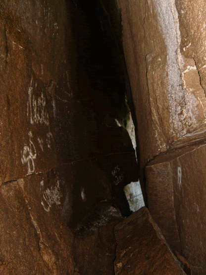
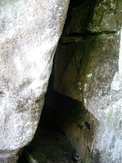
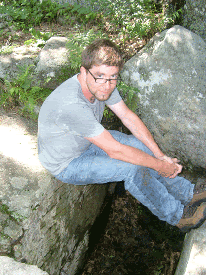
The cave itself is only about thirty five feet long and about 15 to 20 feet high. It never widens out beyond your fingertips if you spread your arms out. And it is cold, and it is wet. A flashlight is good to use, but I recommend a head-lamp to free up your hands, you will need them for balance. When you finally reach the back of this crevice, tucked in a slight corner to the left, you see daylight and a ladder leading you to the upper entrance. Right now I don't recommend using the ladder, it is slippery, missing a few rungs, and well...its not attached to anything at the moment...I hope to make it up there sometime in the Spring and secure the ladder so no one gets seriously injured.


But, as far as New Hampshire caves go, it is actually pretty fun, the sights from the top of the mountain are great, and if you time your visit right, the blueberries will be ripe. Well for the half day it takes to visit the mountain and the cave.