Showing posts with label New Hampshire. Show all posts

Monday, March 11, 2013

Fort Dearborn and Battery Seaman


Compared to neighbouring Maine and Massachusetts, New Hampshire has only fourteen miles of coastline, the major port of the  area being in Portsmouth.  The deep waters of Portsmouth harbour makes for a superb location for the Portsmouth Naval Shipyard and its dedicated men and women who service military ships and submarines.  Because this was such a strategic point for our national defense, throughout history many forts have been built to protect these waters: Fort Constitution in New Castle, Fort McClary and Fort Foster to name a few.

On Odiorne Point, just south of Portsmouth is Fort Dearborn.  During WWI a temporary fire control station was constructed on Odiorne Point in 1917 for  Battery Hunter at Fort Stark, located on the nearby island of New Castle; a year later the temporary battery was removed.

With the arrival of WWII it was determined that our coastline was at risk of attack from the Germans and our strategic deep water ports must be protected.  The farmland of Odiorne Point was purchased and Fort Dearborn joined the ranks of other forts that ran from Maine to South Carolina as part of the Atlantic Seacoast Defense System.  The stretch that most people drive to get a view of the scenic coastline and stately mansions of Rt. 1A was shut down and only used by military personnel.  On April 18th, 1942 Battery 103, also known as Battery Seaman was constructed on Odiorne Point.  According to some research on the area the giant guns that were placed in the two casements of Battery Seaman were fired only once as a test and caused windows in nearby Portsmouth to shatter.  In 1948 the Battery was deactivated and in 1949 declared surplus property eventually coming into ownership of the state and later turned into Odiorne Point State Park. Photo from www,northamericanforts.com

 Several of these old buildings are still in existence, unknown to me until just over a year ago when my partner Heidi and I were talking about our mutual love of abandoned structures.  She had mentioned that her brother and a couple friends of his had actually gone inside of one of the casements (there are several still in existence, most are not accessible for clear and obvious reasons but they had gone inside of Battery Seaman to use as a setting for one of their amateur films).  I had been visiting Odiorne Point for several years and knew of the old foundations used for some guns but I never knew anything about the other structures.  A trip had to be made out to it!

Upon our arrival we took a trail that I had never been on before through the woods north of the visitors' center for the Seacoast Science Museum.  After turning down several trails we came to the first concrete structure.  This was a look-out or observation building of some sort.  It is currently covered in graffiti, some of it actually quite artistic though it is sad to see a piece of local military history treated like this.  Dee lead me on to another series of trails and soon in the distance the looming hulk of another concrete structure appeared.
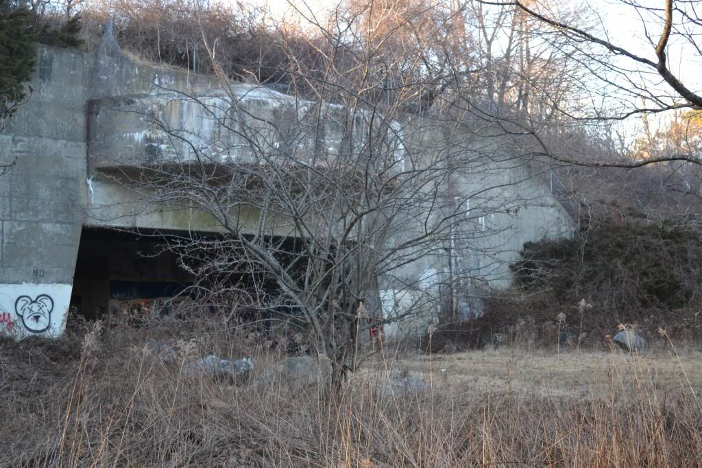
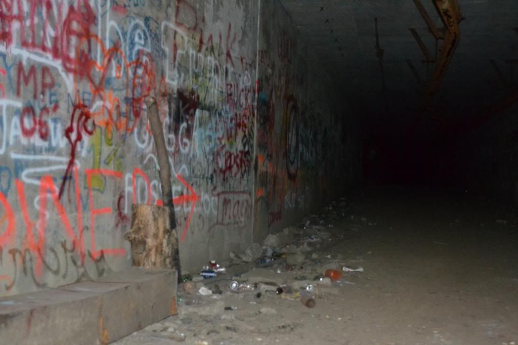
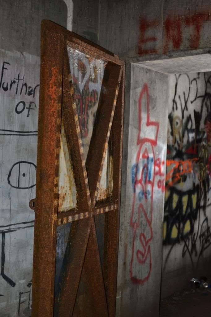
This was one of the cannon casements of Battery Seaman itself.  Covered in artful graffiti as well and poetry, the scale of the structure is hard to discern as much of it resembles walking under an overpass with earth covering the majority of the structure.  In the tunnel itself are two cast iron doors, one of which has been covered in successive layers of plate steel that have been cut through by people attempting to get inside.  Though I poked my head through the gaping hole in the door I did not climb inside but did poke my camera through wherever I could to take photos.

I would save that for a later trip.  We found that on the backside of the Battery a trail leading to the top of the earthen mound and found another concrete structure on the top, evidently another lookout, that was covered in even more lurid graffiti warning people to "Beware of Hobos" (something that I now take to heart in my town as there is a shanty-town of homeless drug addicts that live near the old rail yard).  From the top of this hill are some additional trails, one leading you around a chain-link fence and takes you out onto the semi-circular concrete "roof" that the cannons were partially covered by.  Here we had found evidence in the form of PBR cans of either hipsters or someone with poor taste in beer having been there before us.  After returning to the bottom of this man-made hill we continued further north and came across the other casement of the second cannon.  Inside of the similar underpass type structure was another plate steel door, this one not forced open.  This was enough of a visit this time to wet my interest in finding out more about Battery Seaman and where it fit into the history of the area.

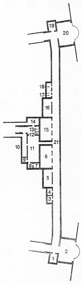
The brief account that I have given at the beginning of this episode of NET is the result of that research.  Reviewing images from Google Earth doesn't readily give you a sense of the old structures as many have been removed or buried.  Evidently the Command Centre of the Battery couldn't be housed in the Battery itself due to the vibration that would be caused by the guns.  I also eventually found a map of the interior of the casement structure which consisted of several rooms and a long tunnel that connected the two casements.  The Command Centre of the structure was located a distance away to the west of the Battery, something that we did not see on our initial visit to the area. Photo on left from www.northmericanforts.com showing the interior structure of the Battery Seaman.

Last year, just prior to our attempt to document and map the passageways of Howe's Caverns (See "How Cavers and a Commercial Cave Came Together to Help a Community") I purchased two slave units to fire flashes remotely for some cave photography, an admittedly difficult pursuit and needed to test them out ahead of time to get used to using them, and thought Battery Seaman would be the perfect environment to try them out.  So one day, shortly after work, Dee and I headed out to Odiorne Point and Battery Seaman (armed with a hiking pole to fend off attack by any of those aforementioned "Hobos").  The evening was very foggy with the arrival of Spring-like temperatures as we arrived at the sullen concrete colossus.  There were two other gentlemen there with a dog and flashlights poking there heads through the hole cut into the door, and after a brief exchange Dee and I climbed on in.


  The first thing that hits you is the smell. Not sour or rotten, but of decay...not really that pleasant.  The graffiti continues down the long corridor and there are piles of rubble and trash along the way.  Just  inside of the structure is the first of several rooms that you encounter.  Most do not have anything inside besides graffiti and some trash.
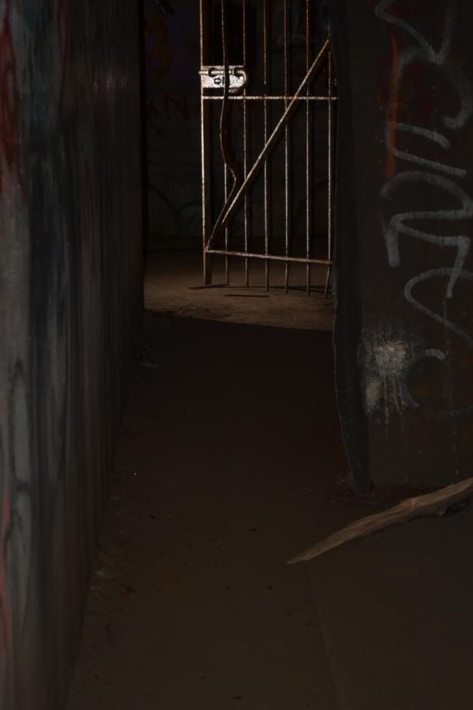


To go any further in trying to describe the interior of the structure would be an exercise in tedium.  There are very few artifacts that remain, the most major being the remains of some sort of machinery and duct-work.  However, it is still interesting historically and it has kindled my interest in finding out more about our abandoned military structures that dot our coastline and the neighbouring coast of Maine.  There is a lot of graffiti present throughout the entire site, while I do not condone adding graffiti to any site and will berate people that I see doing it, some of the artwork is very well done.  I plan on returning to this site with some higher powered flashes to get better shots.

As with ANY site such as this, enter at your own risk.  A dust mask would be a really good idea when visiting any of these military sites as you cannot be guaranteed that there are not any hazardous materials that could be inhaled (something that I thought long and hard about as I was walking around mask-less).  Also, be aware that these structures are antiquated and have not had any form of stabilization and you cannot be guaranteed that things will not collapse.  By entering any such structure you are assuming the risk.  And also, please do not deface the site any further than it already has.  This is a piece of our history that is slowly being lost either through decay or thoughtless defacement.


An update as of 03/09/2013

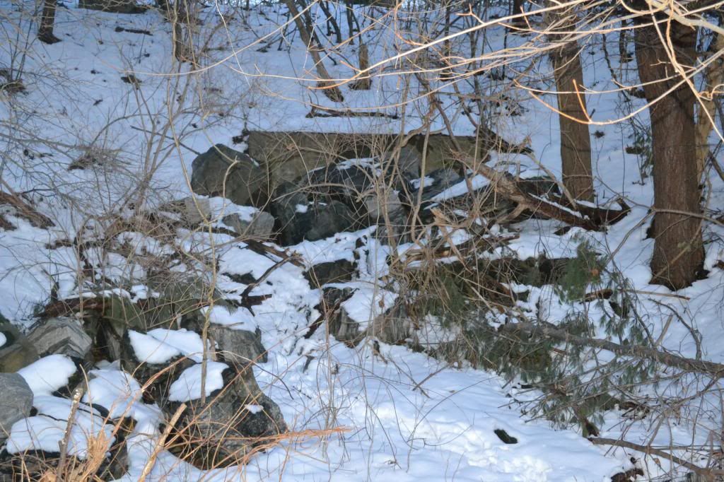
I finally located the Command Centre thanks to a wonderful iPhone app called Topo Maps (you can purchase it at www.topomapsapp.com)!  I did not enter the structure as I didn't come prepared to shoot with slave units and the tripod (it was a thirty minute hike in and out before the gates closed at the Seacoast Science Centre and it takes around fifteen minutes to get there from that entrance), but I will make the trip out there soon with the appropriate gear.  But there are a few photos to wet your appetite.


To find out more there are several high quality sites  to visit.  www.northamericanforts.com has been a great resource for the history, maps and the great image of the cannon firing.  Much more information can be found there.  Also http://pubpages.unh.edu/~kap289/pages/dearborn.html  is a great resource as well on some of the surrounding forts besides Fort Dearborn.  All photographs taken are by me with exception of the cannon photograph and the map of the interior of Battery Seaman.  Those rights remain with the owners of the American Forts website and have been used for illustrative purposes only.  And if the military bunkers are not quite your thing, the Seacoast Science Centre and the rest of Odiorne Point make for a great afternoon as well.



Saturday, May 26, 2012

Lacklustre Experience with Bardo Farm


Tucked away in Croyden, an experiment has been unfolding for several years.  Labelled the Bardo Project, this small collective is not only an experiment in self-sustaining agro-business but also a social experiment.  While attending the Northeastern Regional Organization of the NSS (National Speleological Society) Spring gathering, the catered buffet of a Pig Roast was provided by the Bardo Project.  We were one of the last groups to return from our caving adventures, and over heaping plates covered in stuffing and organically raised roasted pig cooked to perfection, we chatted up the folks from the farm.  In between mouth fulls, we were told about the yearly farm festival taking place in Croyden over Memorial Day Weekend and invited to attend.  Being one to support local business, how could I resist?


After a hassle-free on-line reservation the night before, Heidi and I arrived at Bardo Farm around 10:45 am.  The folks at the registration booth were super nice and informative, and gave an over view of the events of the day, and explained that the farm festival actually covers four days, starting Friday night.  Following the map, we found plenty of parking and the main event area just as some Tom Waits was blaring over the PA (I was beginning to think that this was my kind of event!  Organically raised food AND Tom Waits...I was sure I was in heaven). Dee and I looked over today's list of events which included: Piglet Castration, Forestry Management, Raising Pigs, Pig Harvest, Wilderness Survival: Shelter Building, Solar and Off-the-Grid Energy to name a few.


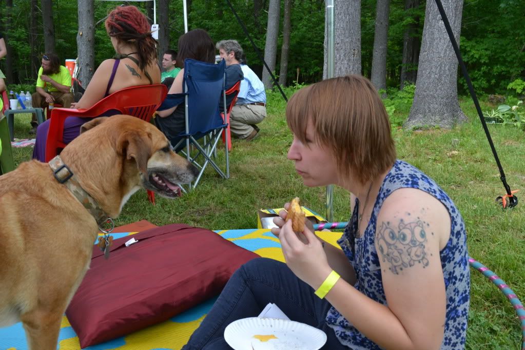
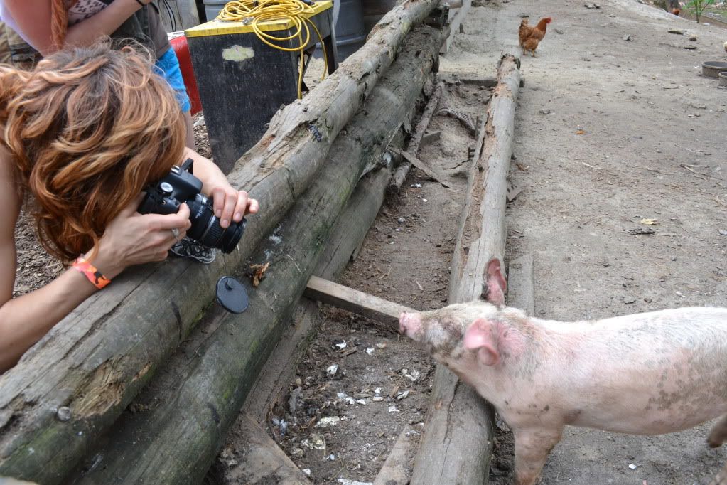
After Realizing that we had quite some time to kill before the Shelter Building Workshop, we decided to go and check out the animals since they were pretty central to the events of the entire weekend.  Ok, so a few things that we learned:  1)Yes pigs smell, 2) I don't care what anyone says, piglets are just so damned cute, 3)chickens and ducks get along just fine, 4) Piglets like paparazzi, 5)to become best friends with a goat, feed it dandelions.


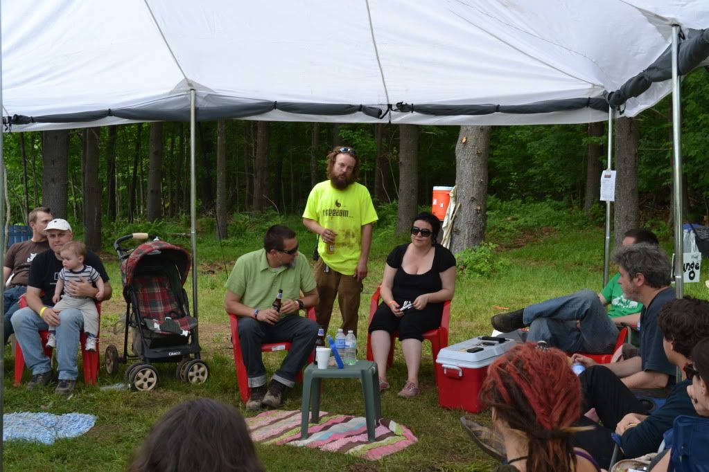
 After getting our fill of the animal fun, we wound our way back to the event area and attended a meeting of SOLE (Society of Libertarian Entrepreneurs).  This is where we discovered the more political side of the Bardo Project.  Now, I am by no means supporting nor condemning a particular political party...as someone who claims themselves independent of any particular political creed I could not since I firmly believe people are entitled to their own opinions and it is not for me to judge.


An announcement came over the PA informing everyone of the events starting at one o'clock.  This included Reloading (ammo) and the Wilderness Survival: Shelter Building Workshop.  Dee and I assembled at the appropriate area which happened to be where the reloading workshop was also meeting, and this is where things just fell apart for us.  The gentleman doing the reloading demo asked us which event we were waiting for, after after telling him it was the shelter workshop, he winced and then proceeded to completely ignore us, a Pied-Piper leading off a hand full of people without a word whether or not someone was coming to lead the other workshop.  We stood and waited for a bit, and finally realizing no-one was coming, we went home.

The event was generally not well organized.  Aside from the people at the registration booth, the only person who even made an attempt to converse with us was a red-haired gentleman at the goat pen.  Few attempts at conversation were made.  We were definitely the outsiders here.  This is in stark contrast with the statement made by one of the registration hosts which was to the effect that the people at the farm are accepting of just about everyone.

The most meaningful experience we had was with a couple who were also leaving.  They were visiting the farm with their infant.  We grumbled about our experience with the farm, and mentioned that we have eventual plans to homestead...raising our own animals and produce to sustain ourselves and barter with our friends and neighbours, and they said that they had the same goal.  After talking with them for a few moments we learned that they are trying to sell their home in NYC to move to New Hampshire, but they want to be close to Manchester and Concord as well as an easy commute back to the city since the husband has a strong sense of activism.  Finally, a genuine conversation with folks who were there for the same reason as us introduced themselves, shook our hands and took the time to find out a little bit of what we were about.

Its a shame that this was our experience with Bardo.  It seems like an interesting idea, and movements such as a social and agro-collective is something that, no matter what their political creed, I fully support.  Had our experience with Bardo been on more of a one-on-one basis, it would likely have been better.  Also, bear in mind that this is the second or third year that the Farm Festival has taken place and the attendance apparently was not as good as expected.  I'll give Bardo Farmfestival 2013 a shot.

For more information about Bardo Farm please visit their website: http://bardo.drupalgardens

Wednesday, November 16, 2011

Knick-a-Weet-a-Who?


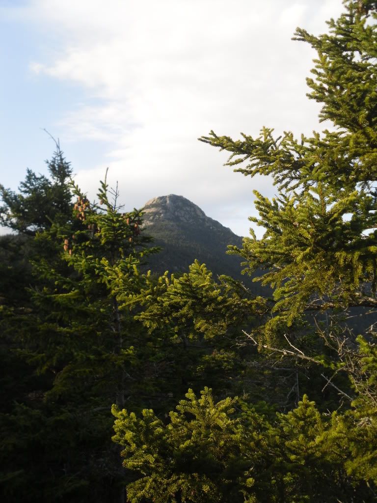
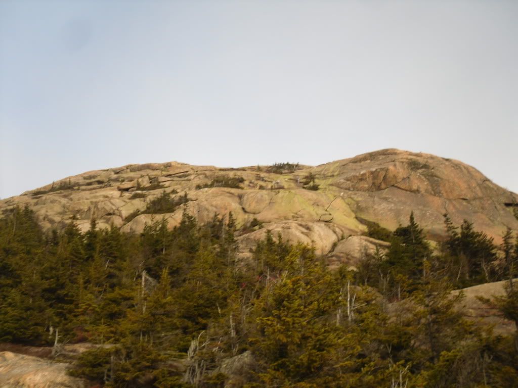
Mt Chocorua is one of a very small hand-full of mountains in the state of New Hampshire that has a bald peak but still has an elevation below 4,000 feet.  It is likely one of the most recognizable mountains in the state, and according to the AMC guide books it is one of the most photographed mountains in the world.


I have been living in the state now since 2000 and many a time I have driven past the picturesque bald cone of Chocorua and the Lake at his feet, and often I had thought that it looks like it would make for an awesome hike.  So when my girlfriend had mentioned that it is one of her yearly pilgrimages I finally realized that I would finally have my chance.  I mentioned this to a co-worker and found out that it was one of his yearly pilgrimages too, and next thing you know we had three of us planning our next adventure to the summit.

After a few false starts due to weather and circumstance, finally on November 12 we arrived at the trail-head of the Piper Trail, named after the farm that the trail cuts through, and began our ascent around 7:30 AM.  My friend Matt had suggested that we take the lesser traveled route (sometimes it ended up being the never-traveled route), and we has planned to make a giant loop out of the day, covering somewhere around 12 miles, but only retracing our steps for less than 1.6 miles of the trails.


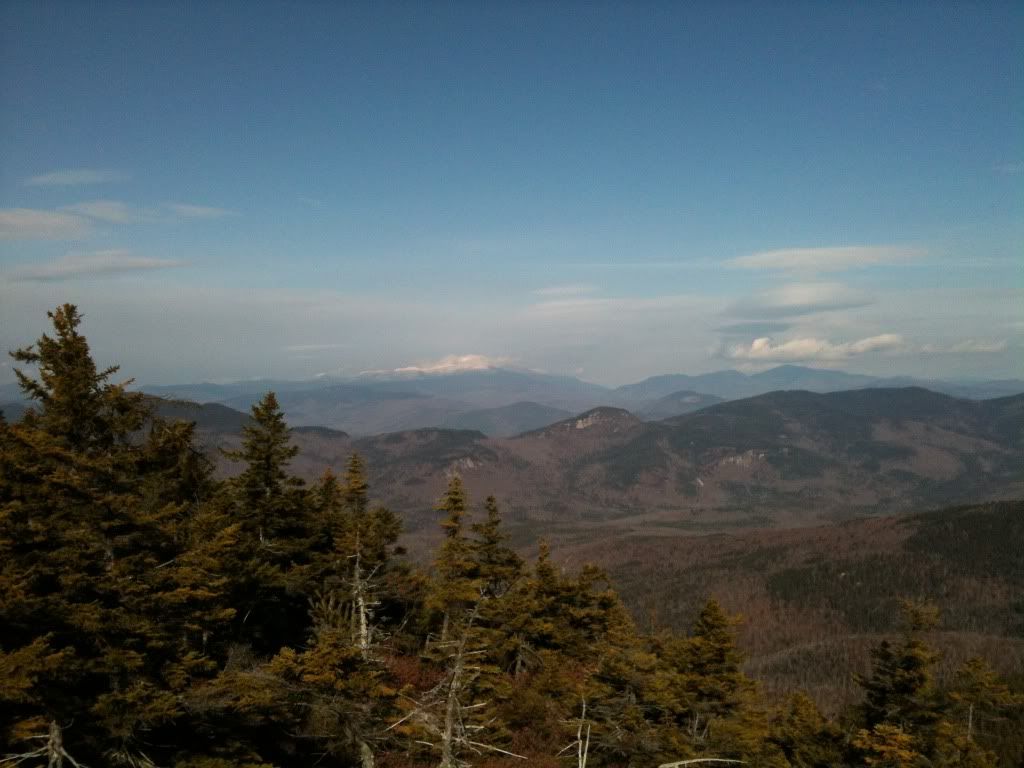
The morning was freezing but the sky was going to be clear, so the views from the bald summit were going to be impressive (and I have to admit, this has quickly become one of my favourite hikes).  The Piper is a very gradual and easy trail for the first .6 miles until we reached the Nickerson Ledge Trail which takes a very steep ascent to the first of three peaks called the Three Sisters.  It was also about here that we ran into three backpackers who had set up an illegal campsite, but until we joined back up with the Piper Trail on our way to the true summit, we did not see another soul.  It was from a top the first peak of the Three Sisters that we caught our first glimpse of Mt Washington and the other Presidentials shimmering brightly in the distance.


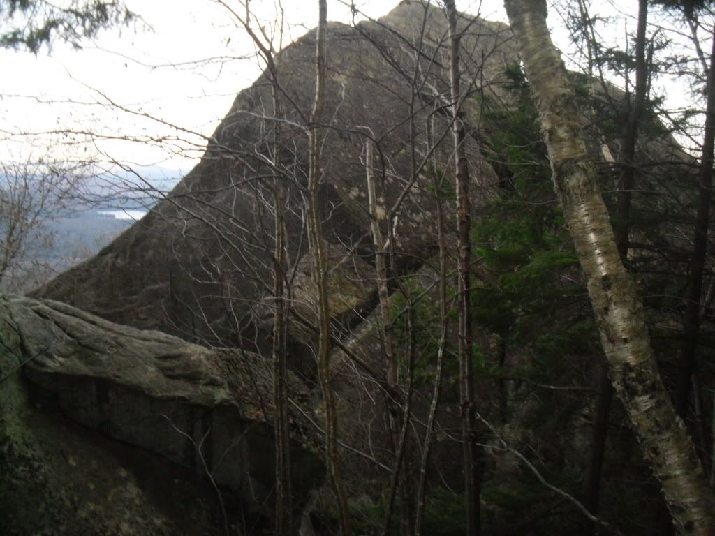
From here we picked up the Carter Ledge Trail, which happened to be a very gentle ridgewalk that takes you through tall thick forest until you reach your ascent on Middle Sister Trail to the peak of the Middle Sister.  Once attaining the peak of the Middle Sister you get some really excellent views of the false peak and the true peak of Chocorua.


We visited the weather station at the top, caught a quick snack before we continued on to the mail goal looming darkly ahead.


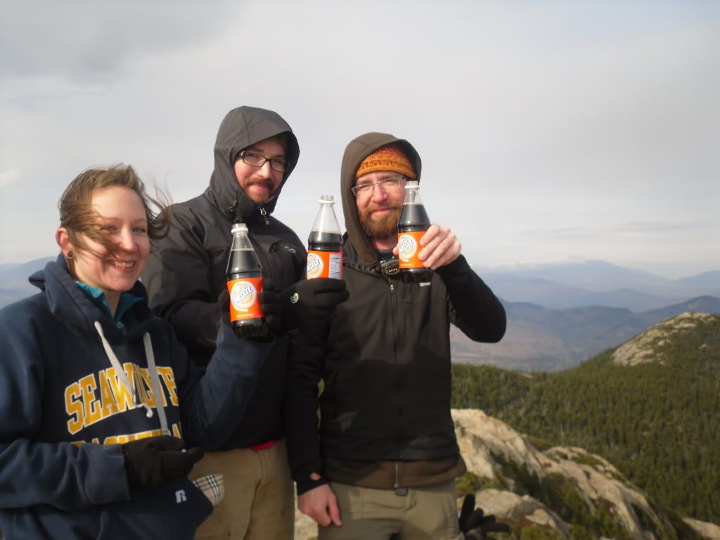
The peak was reached somewhere around 1:30 PM.  Significant because we had covered a decent amount of ground of fairly difficult trail in a short amount of time, but also because we had to book it as quickly as possible if we wanted to arrive back at the car in time for sundown.  We paused to take in the view from the summit, have a celebratory Moxie and then prepared to begin the trek down.


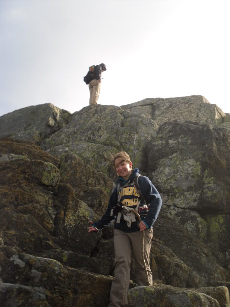
It was about here that we couldn't locate the trail, and somewhere below us on a ledge we could see a cairn indicating that the trail was somewhere below.  Matt had been this way several times, so Heidi and I followed.  It was about here that the  next 500 feet of descent got a little hairy.  Friction was on our side, and after Heidi and I had a few moments of tense bouldering and fancy footwork we joined up with Matt who had taken a slightly more difficult route that involved a ten foot slide through a crevasse to reach the trail below.  Hopefully this act will not be repeated again.


From here we reached the Liberty Cabin and broke for lunch seeking shelter from the wind.  After wolfing down our PB&J, locating the geocache and leaving a package of peanut butter crackers and a Nature Valley bar, we continued on to the Hammond Trail and Weetamoo (not sure why, but the name of this trail just strikes me as funny).  On the Weetamoo we encountered the former summit of Chic (two massive boulders toppled over by glaciers), and then after a river crossing, we returned to Piper, and 1.6 miles later, the car.  End time was just after dusk, around 4:35 PM


The total mileage attained was somewhere around 12 miles (give or take thanks to the harrowing descent from the peak and then some milling about that we did on the way up).  And after a well deserved stop at the Pizza Barn and the destruction of a Farmers Daughter, we returned home.

Mount Chocorua is honeycombed with many trails and alternatives to reaching the summit.  The list of trails we followed in only one of many options available.  Upon first glance at the distances involved, it is very easy to be deceived and to think that your hike will be easy (from the trail-head of Piper, the distance to the peak is 3.6 miles).  Do NOT be deceived.  Bring plenty of water for this hike.  Even in cold weather, you can quickly become dehydrated without even realizing it.  Also, arrive at your trail-head early.  The trails are frequented throughout the year, but following some of the lesser known trails you will find that you are by yourself which leads to another point: stay on the trail.  There are many ledges and it can be easy to lose your way.

Though the mountain is below 4,000 feet, I would have to rate this slightly higher than the Mount Washington segment of the Presidential Traverse.  Though less technical, the trail is slightly more difficult in regards to the amount of elevation that you gain in a very short amount of time.

Simply, some New Hampshire Fall hiking at its best!

Monday, October 17, 2011

Where the Sidewalk Really Ends


Shel Silverstein (author of the book Where the Sidewalk Ends) likely didn't know of the existence of the town of Hill, nestled next to the Pemigewasset River (or as we just call is here in NH, "the Pemi") near Plymouth, New Hampshire, nor would he have known that there really are sidewalks that just end...and lead to nowhere.


This was not always the case with the town of Hill.  First, if you look at a map the town of Hill still exists now at a safe distance above the Pemi.  This region of New Hampshire was once, and still occasionally is, affected by floods especially in the Spring during the snow-melt from the White Mountains.  These floods had devestating effects on the small town of Hill.  Founded in 1753 under the name of New Chester the name was changed  to Hill in 1837 in honor of Isaac Hill, NH governor from 1836 to 1839. 
In 1941 a new dam was constructed near Franklin, NH in an attempt to alleviate the flooding issue that had plagued the area.  This was when the entire town, including buildings and graves, were relocated to higher ground.


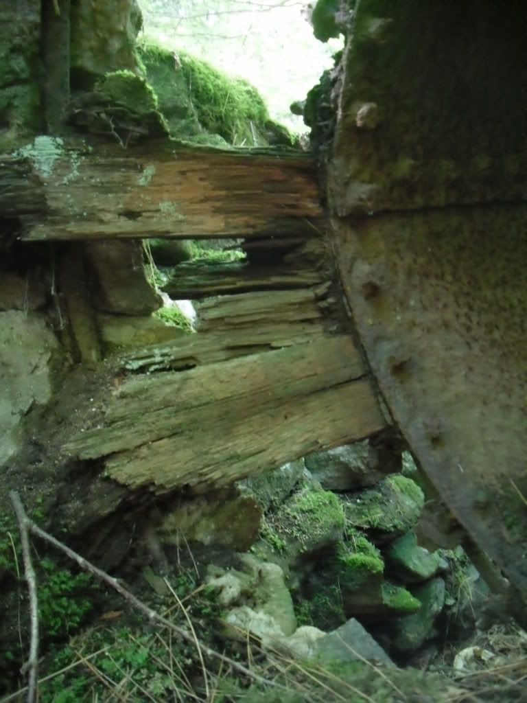
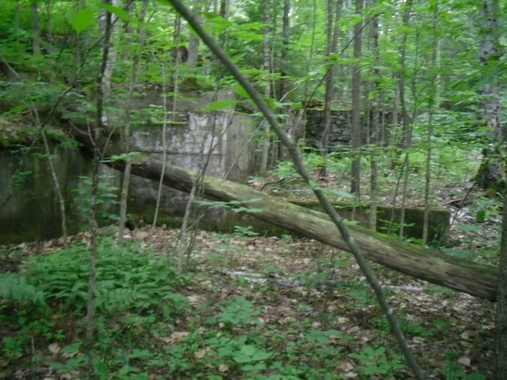
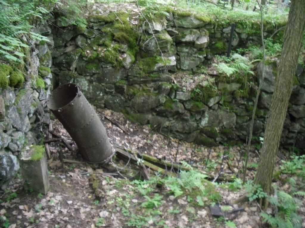
From the parking area on Old Town Road, Shop Road enters the woods following a swift flowing brook on the left.  Here is where your first structures are encountered, the remains of an old mill with a marker nearby showing the various flood levels that used to plague the area.  The most apparent remains of the mill will be some concrete walls and the penstock on the brook side of the road, but the main ruins are easily missed on your way down.  There are several paths that lead you into the larger ruin complex which is very impressive!


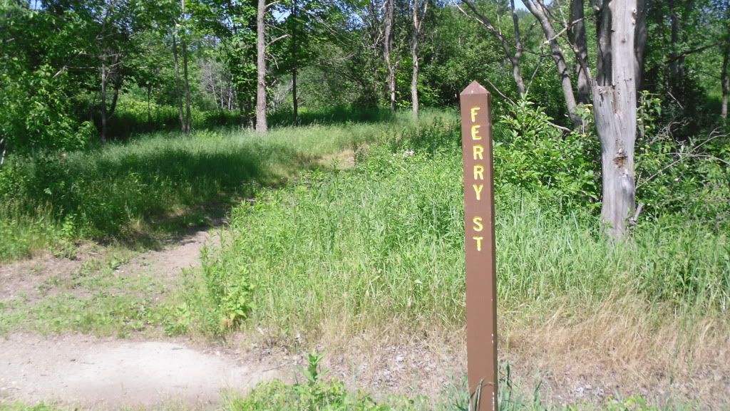
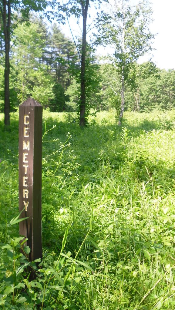
Shop Road ends at the bottom of the hill on the broad flood plain on which the town was originally constructed.  Here you reach the main street of the town, Center Hill Road, and the road T's heading north (to the left) and south (to the right).  On this particular trip we went north where there are broad open lots, a few posts telling you the name of the old streets and open lots.  Just after crossing the bridge, Ferry St begins on the right, and following this narrow path you will eventually reach the old cemetery with fields of poison ivy everywhere.  There aren't any graves left, or at least that we could see.  Ferry Road ends and another unnamed road travels parallel with the river.


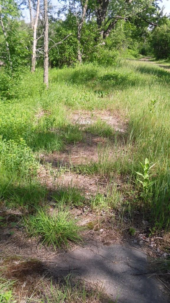
Back on Center Hill Road and traveling north you will pass by the old lot that the school sat on, the only evidence of it being there is a concrete pad near some trees, and on the right side of Center Hill Rd are the old sidewalks that peek out from beneath leaves, wild strawberries, poison ivy and dirt that has slowly taken everything over.


Eventually the road exits the town and re-enters the woods and on the right it a sign that simply states "The Eddy" and a path.  This leads you down to a sheltered lagoon on the Pemi and some really nice rocks to stretch out on, soak up some sun and silence.

Unfortunately we ran out of time to explore the southern end of Center Hill Road, but evidently this is where the majority of the foundations are found.  We will be making a return trip to explore this part when the poison ivy is a little less threatening.

Old Hill directions:
  • Take I-93 North to Exit 20, Rt 3
  • Bear west toward Rt 3A
  • Bear North on Rt 3A into Hill
  • After passing the post office (on right, very easy to miss), continue for about a mile to Old Town Road.
  • Turn right and you will pass a cemetery on the left and park in the parking area at the entrance of the Nature area.  Shop road begins at the gate.
Sturdy shoes are recommended as are long pants due to the area wide presence of poison ivy.  Trash and restroom facilities are not available, and this site is suitable to bring children.

Thursday, July 2, 2009

Welch-Dickey Mountain Loop


Time for some more serious hiking!

On the western side of the state of New Hampshire, in a section of the White Mountains near Waterville Valley (famous for its ski area,)from exit 28 on I-93, is a trail that climbs Welch and Dickey Mountain. Capped by sub-alpine plant life and fantastic exposed views, as well as being one of two locations in the state known for having Jack-Pines, this was the making of a fantastic hike.

Heading north on I-93 from Concord, NH, the weather was threatening disaster (much like it has for the northeast this summer this year). Grey clouds and light to moderate rains loomed ahead on the drive northward. Fortunately, as we neared the trail-head the sky seems to lighten up and in a few places there was actually blue sky. So, after pulling on my pack and prepping the dog, we headed up to the trail-head, and getting our bearings, began the ascent up the mountains.

The trail starts in mixed deciduous and coniferous forest, and begins a moderate grade up the first peak. Bearing right in the fork of the trail, you begin your ascent up Welch Mountain. If you had visions of a light and easy hike at this point, you had better ditch those thoughts now as you begin a steep ascent for the tree line. This is the shortest bu most difficult section of the loop. As you approach what you first think is the top of the mountain within the first 1.2 miles of the hike, you break into a mix of jack pine and sub-alpine plant life. Surprising to me, on the exposed and sunny areas, Lady Slipper orchids (Cyprepidium acuale) were in full bloom, usually preferring the dappled shade of Hemlock, oak and birch trees).


Thus begins the exposed section as you follow the yellow blazes on a series of ledges, many of which are at a steep incline. The trail seemingly disappears often as you climb up a ledge, only to discover that the trail keeps going up. My ten month old Shiba Inu pup, Nori, lived up to the Japanese meaning of her breed Mountain Dog as she nimbly jumped up four foot high ledges and waited impatiently for her dada to follow her up.


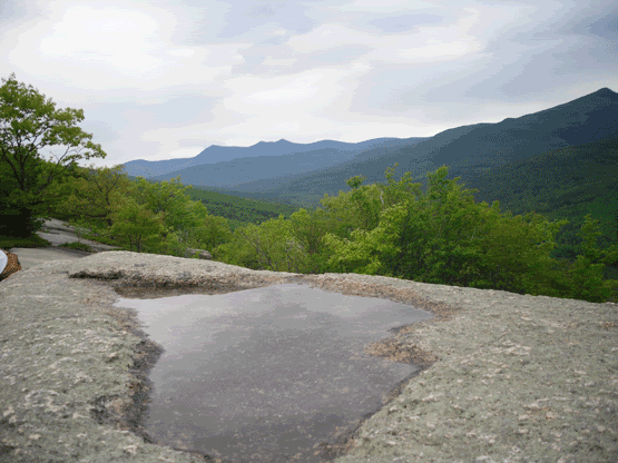
We finally reached the top of Welch Mountain, and the vistas of the surrounding mountains were fantastic! Here the trail continues on to Dickey Mountain. Descending from the top of Welch brought my first and only heart-in-the-throat moment when, following the yellow blazes, the trail seemingly dropped off of a vertical cliff edge. Gingerly working my way to the drop off while trying to keep Nori from running up ahead of me to her possible demise, I saw that the blazes lead you to the left, down an easy four foot climb. Descending this, we re-entered the forest as we walked .6 miles or so in the saddle between the two peaks.


Leaving the forest in the saddle behind, we started ascending a few more ledges to the peak of Dickey Mountain, which offers a 360° view of the entire area. From the peak of Dickey you can see Franconia Notch and Franconia Ridge to the north.

On the descent, however, I fond my favourite part of the entire hike. You begin a series of exposed ridge-walks with precipitous drop-offs on either side. The going is very steep so I recommend going slowly. There are also a series of cairns that help point out the direction you are supposed to go. Stopping occasionally to add a stone or two to the cairns helps to maintain them, however please to be conscientious not to dig up new stones, just pick up the ones that rain and wind and time has dislodged from the pile.


When you begin to reach the end of the hike, you return into the forest that you began. Nori was getting tired and rambunctious like a cranky three-year old and had to be picked up and carried, but she did very well for her first long-ish and difficult hike. Upon our arrival back at the parking lot, the sky opened up and began to rain again (perfect timing though I felt bad for the people still on the trail).


The complete distance for the Welch-Dickey Loop Trail is 4.4 miles, and can typically be done in about five hours. The trail is fairly steep in quite a few places, so please be sure to have decent and supportive foot-wear as you will be spending quite a bit of your time on the balls of your feet. This is a fairly popular hike, so if you plan on going, arrive early to assure a parking spot and if you want relative peace and quiet.

Directions:
From I-93:

* Take exit 28 off I-93, and head east toward Waterville Valley on Rt. 49.
* Turn left onto Mad River Road (at the traffic signal) and bear right when Mad River Road goes that way.
* Then turn right onto Upper Mad River Road, which is both paved and dirt.
* Turn left onto Orris Road (there is a hiker sign at this intersection).
* Follow Orris Road for 0.6 mile and then take a short fork to the right to reach a large parking area.
* The Welch-Dickey Loop trail starts from the upper end of this parking area and quickly forks with the left branch leading most directly to Dickey Mountain and the right leg first encountering Welch Mountain.

Sunday, November 9, 2008

Have you ever danced with the Devil in the pale moon-light?


I know it has been a while since there has been anything new added to NET, and I apologize, things being hectic with work and travel. And admittedly, the template that they give you for these thingies on Blogger are not all that...exciting? But its a template, and fortunately they permit you to make adjustments. Finally got my act together! :) So, here is a trip from 2008. More is on its way!


No, I haven't, nor do I think the Devil would like to dance with me...I've got two left feet, I have no rhythm, and well...that's just not quite how I roll.

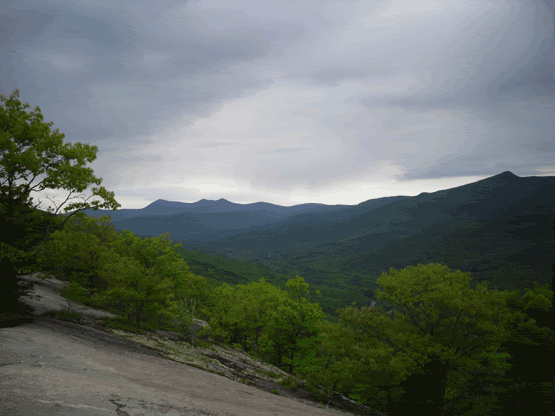
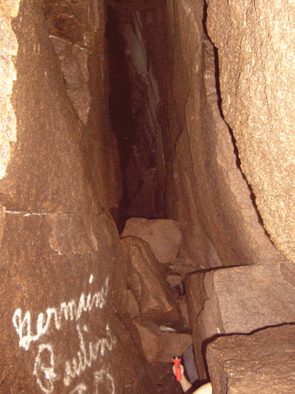
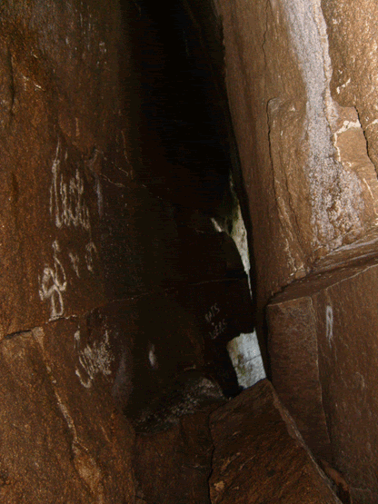
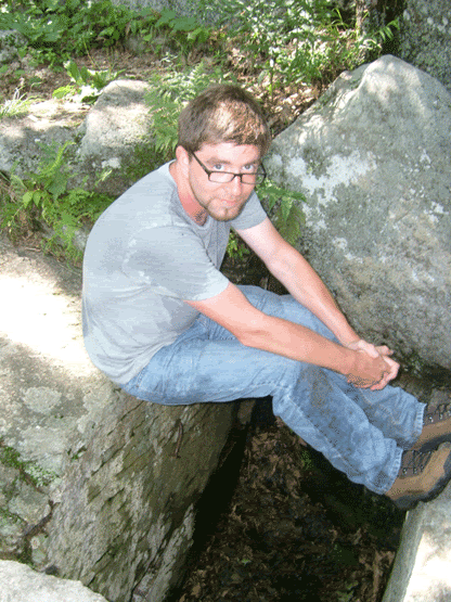
But somewhere, perched high on a mountain-top, whose bald granite skull peeks through the growth of hemlock trees, staring grimly down upon Lake Winnipesaukee and Merrymeeting Lake outside of Alton, NH, the Devil has made his home inside this dark, wet and cold granite tomb. I had read about the Devil's Den in Haunted Hikes of New Hampshire by Marianne O'Connor (leave it up to the Irish to find the spookiest stuff around...I'm about 3/4's Irish, so don't bad-mouth us!), and is probably my favourite source for the spooky hikes of my adopted state. Evidently, the earliest accounts of exploration of the Den left Eathan Allen Crawford and some climber named Leavitt (according to Ms. O'Connor's book) shaken when they discovered human remains in the entrance. But a later party who entered the cave found neither the Devil nor the aleged human remains. Also, the Devil evidently likes living in New Hampshire since he made several "Dens" throughout the state, not just this one in Crawford Notch, but also in Barrington and Nottingham, NH (damn that Devil gets around).


The trail is not easy to find, and the cave itself is even harder. Taking Rt 11 heading north to Alton,NH you reach the traffic circle, take your immediate right as you approach (this is New Durham Rd). This becomes Main St. At the Fish Hatchery take a left. Eventually the pavement ends right around the point that the road takes a sharp right. You want to find parking around this area, but careful not to block in anyone's driveway. Straight ahead is a dirt, very rugged road that takes off up the mountain. This is the ATV trail that you want to follow, just mind the people on three and four wheelers...they will see you and slow down, they were rather friendly and waved and gave plenty of room. Now that you got that part down, you just keep walking. Eventually you will reach a beaver pond on the left side of the road, and the road starts an upgrade toward the top of a hill. When you reach the crest, keep an eye out for the trail-head on your left.

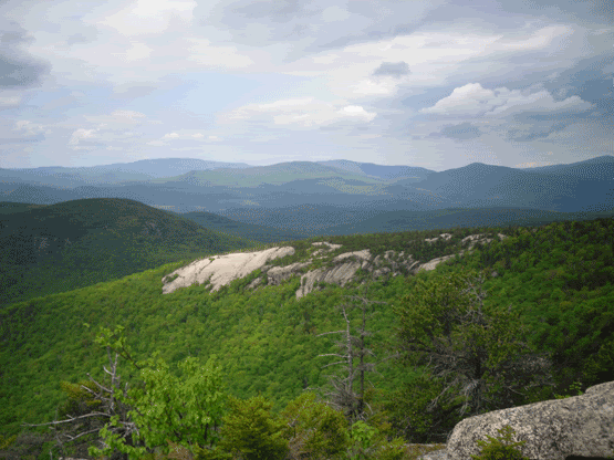
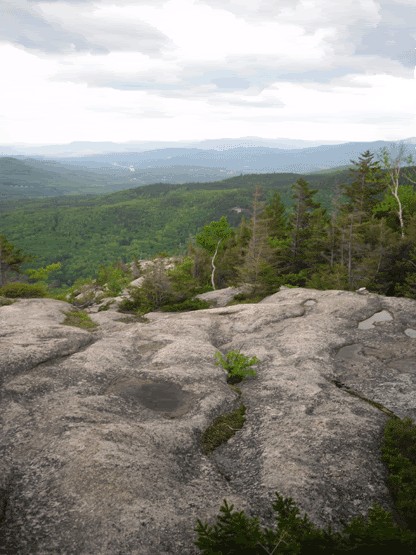
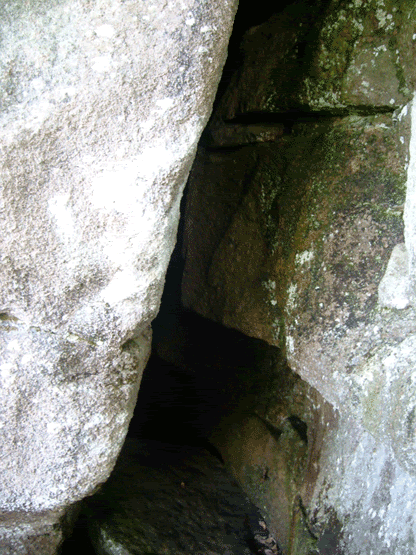
The trail is actually a very easy hike, and the rock formations are damned impressive. Eventually you will reach the peak of the mountain, with spectatular views of Merrymeeting Lake and Lake Winni in the distance (if you are trying to figure out which is which, the reeeeeeeeaaaaaaaaaaaaaallly big one in Winnipesaukee). From the top of the mountain the trail continues down the other side. If you are looking for the Den, this is where things get rather tricksy. The very narrow trail makes a few switchbacks. You will eventually reach a ledge in the middle of the trail (where it takes off steeply through the woods), and you want to bear LEFT LEFT LEFT...up over some boulders, and then the entrance is a gaping maw into the cliff face (even my description is confusing and hard to find).


The cave itself is only about thirty five feet long and about 15 to 20 feet high. It never widens out beyond your fingertips if you spread your arms out. And it is cold, and it is wet. A flashlight is good to use, but I recommend a head-lamp to free up your hands, you will need them for balance. When you finally reach the back of this crevice, tucked in a slight corner to the left, you see daylight and a ladder leading you to the upper entrance. Right now I don't recommend using the ladder, it is slippery, missing a few rungs, and well...its not attached to anything at the moment...I hope to make it up there sometime in the Spring and secure the ladder so no one gets seriously injured.


But, as far as New Hampshire caves go, it is actually pretty fun, the sights from the top of the mountain are great, and if you time your visit right, the blueberries will be ripe. Well for the half day it takes to visit the mountain and the cave.