Showing posts with label Franklin West Virginia. Show all posts

Wednesday, September 16, 2009

The Infinity of it All


Funny how when one reaches the end of the trail it happens unexpectedly, after climbing slowly out of the narrow canyon carved by the Seneca Creek, I saw the gentle left bearing curve and a clearing ahead, hoping that it was nothing more than another one of the numerous meadows along the path…until I spotted my car sitting bluely in the small parking area at the head of the Seneca Creek Trail finally signaling the end of three days in the Wilderness of the Monongahela National Forest in northern Pendleton County, West Virginia.
This was a trip at least a year in the making, definitely before my Shiba Inu pup, my only companion on the trail for three days, was a glimmer in her breeder’s eye, and what else would have first lead me to even pondering this trip except the lure of three caves that are likely the most remote known caves in the county. After reading the descriptions over and over again, and then purchasing the USGS topo maps, I had a general sense of where the real prize possibly lay, High Meadows Cave discovered less than a decade earlier with the remote, no pun intended, possibility of having yet to be explored passage. I decided that this trip was a must. Little did I realize that I was to stumble upon one the West Virginia’s best kept secrets when I began my first few steps down the soggy Lumberjack Trail.
The Bug-lette, flying as co-pilot, and I began our trip to West Virginia two days before hitting the trail with a brief overnight in Harrisburg East Campground (which I will stop short of recommending to anyone, granted it was quiet and cheap (the main criteria), but would I want to stay there again, no. The following day we arrived at Thompson’s Motel (you may recall the motel from the previous caving trip to the nearby Site’s Cave), friendly to not only cavers but backpackers and fortunately dogs as well. My parents made the three hour trip over the mountain to come and visit before I lost my last chance for a shower and general cleanliness for a while.

As a brief detour, I decided to take a drive past our eventual destination, and take a warm-up hike part way up Seneca Rocks, the iconic twin-sandstone slabs beloved by rock climbers. A lot had changed in the past fifteen years since I had visited Seneca Rocks. First of all the Visitor’s Centre had burnt down, and had now been replaced with an expanded one, and the original trail system that one took to the foot of the talus slope had now been replaced by a series of bridges and suspended walks as an archaeological site had recently been discovered there.
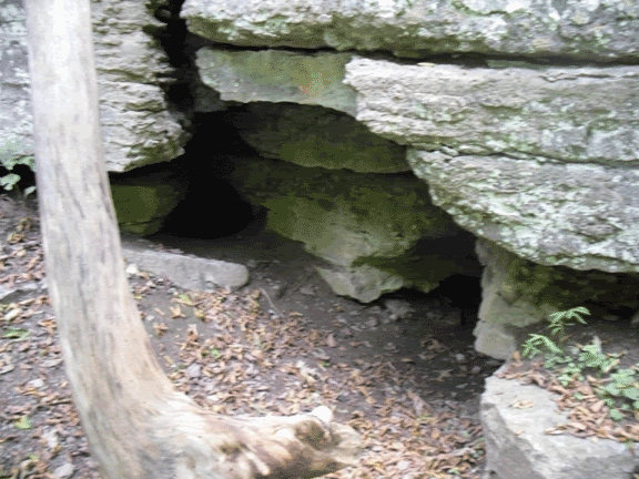
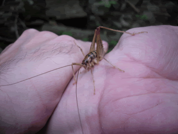
We also stopped at one of my favourite places to go caving, Kee Cave, now closed due to White Nose Syndrome, a fungal disease that is affecting the northeastern bat populations. While hiking to the cave, Nori started chasing something that I later rescued and discovered as a cave cricket. Normally it is not recommended to handle them since they are a cave animal therefore very fragile, however I decided that when faced with impending doom at the hands of my dog that some human intervention was acceptable.
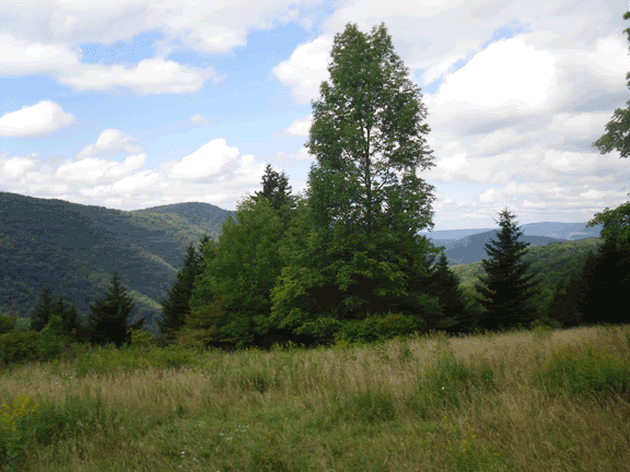
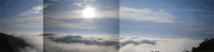
We left Thompson’s early the next morning after catching breakfast at the restaurant, and made our way across the low foothills the separate Germany Valley from the rest of Pendleton County, and found our turn off into Forest Service Road 112. The fog lay thick and heavy in the mixed spruce and hemlock forest until the forest road broke through the trees to the first overlook. An ocean of cloud beneath the clearest blue stretching further than the eye could ever hope to see.
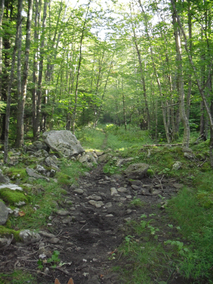
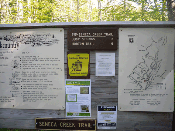
After passing the access road that eventually wends its way to the lookout tower on the bald knob of Spruce Mountain, the road once again descends into the mixed forest as it drops in elevation toward the two trail-heads of Lumberjack Trail and Seneca Creek Trail. Both are about a mile apart, and it is necessary if one wants to make a complete loop of it to park at your final destination and hike to the trailhead you are staring from. I opted for beginning at the Lumberjack Trail and ending at Seneca Creek.
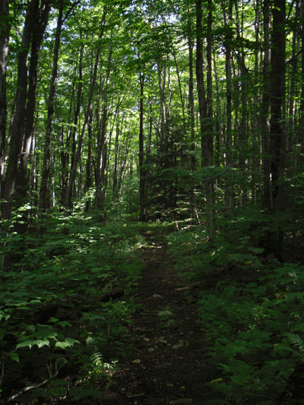
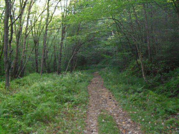
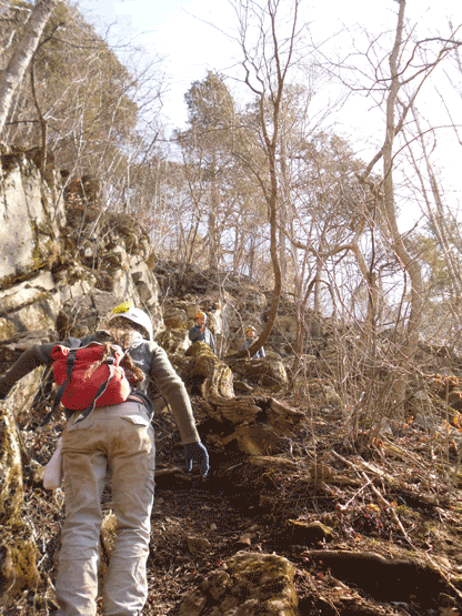
The Lumberjack Trail begins its slow ascent on the south-eastern rim of the Seneca Creek Canyon. It is an old railroad grade that was used back when the area was being logged, but now has been converted into a hiking trail. The benefit to starting in this direction is that the trail is an even and relatively easy upgrade (according to the trail descriptions that you read); however do not think that it is easy. Boulders the size of grape fruits are poised to trip you and very often you are slogging through ankle deep mud, but all in all it is a pleasant hike.
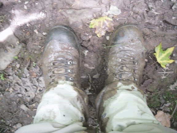
Eventually you cross the Huckleberry Trail, and if you stop to look at the trail map one quickly come to the conclusion that the people who printed these trail maps, including the USGS, don’t have a clue as to the correct name and order of the trails. However I knew that my eventual destination for the first day lay in the highest of a string of remote open meadows that I had read about in several descriptions of the exploration of High Meadows Cave and also other hikers who had been through the area.
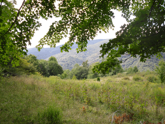
Five hours after we began from the trailhead we reached our final destination of the day, the first of the high meadows on the southern rim of Seneca Creek, which was somewhere in the thickness of the trees below. After quite a bit of walking around (which according to the Milling About Theory of Speleogenesis, must have created quite a sizeable cave somewhere below us), we finally set up camp, hoisted the food up into the trees above the reach of the omnipresent black bears which had been terrorizing hikers on nearby Dolly Sods and then set out to find a source of fresh water.
This area of West Virginia had been suffering from a drought for a while as I was peripherally aware, but it hadn’t quite registered at the time that we set off for what appeared to be a tributary of Seneca Creek once you reached the second meadow. I was also not quite prepared for the steepness of the descent as the faint trail seemed to take a near vertical descent down the mountain (much fun for Nori with her four-wheel drive, but as for the biped whose every fibre was screaming at it to sit down and stop moving, it was not quite as much fun). Upon reaching the tributary that we had spotted on the map and NOT finding water (if we had gone fifty feet further we would have I discovered on the next day), we began the agonizing ascent back to camp. We after all had enough water for canine and human alike to get us through until the next day which we planned to spend the second night at the established campsite at Seneca Falls.
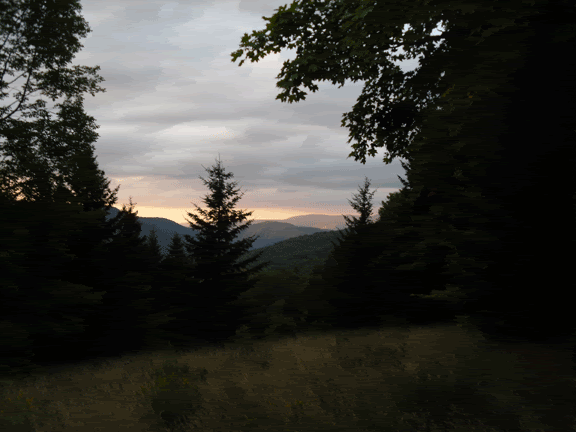
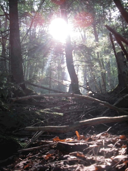
Sitting and watching the immensity of the sky turn from its milky blue to sapphire, and the long reaching rays of a failing sun while surrounded by the insect symphony and the occasional chirp of bedding birds and the mist rising up from the Seneca somewhere below like an eerie film…this will now forever be my vision of Eden. The constellations one by one crept through the fibre of nightfall, and when I finally expire, this is where I want my ashes spread in the infinity of it all. If there is a divine being, it has left its finger-print here where only time passes.
The next morning, the rising sun casting long shadows along the rim of the Seneca canyon woke us up with the choir of morning song-birds, and after boiling up just enough water to get us through breakfast, I broke camp with the moral support of Nori. We left our perch of the highest meadow to descend into the mute light of the forest and Seneca Creek.
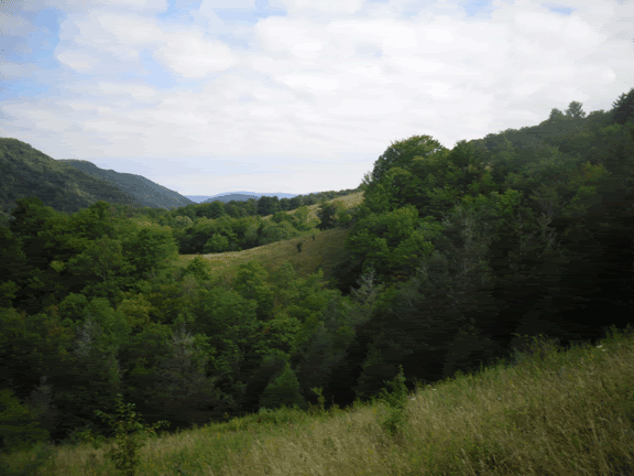
One by one, we passed through each meadow (as well as discovering the tributary to the Seneca that I was hoping would be a water source. It was after one of these meadows that I remembered that High Meadows Cave was nearby, supposedly the most remote cave in West Virginia, and finding the small stream, hitched Nori to a nearby tree and followed it down. I tool a nasty spill on a slick piece of limestone, found the little waterfall near the entrance and turned to find a non-descript crack under a boulder. There was no airflow, but after a little more poking around in the area, determined that this was it. There wasn’t any water flowing out of the entrance, indicating that there was a serious drought going on in the area. I didn’t enter the cave as it would break several of the cardinal rules of caving…never enter a cave alone, wear a helmet and always carry three sources of light.
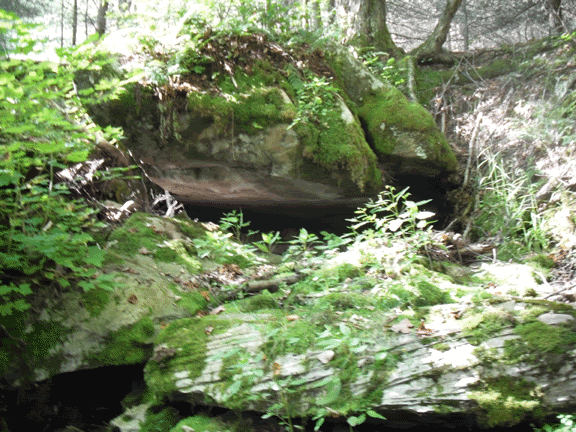
I marked its GPS location (sorry, I will not share. I’m not being stingy, but it is very remote, hardly anyone travels this way so if you were to get into trouble it may take weeks to recover your body…hiking here is one thing, but to go caving here is something different entirely), and continued on my way to the next trail junction. Here is where my maps, compass and general sense of where I was heading failed me. This trail junction heads in two different directions, one goes uphill and the other leads northeast. Logic would dictate that the downhill direction would be the one to eventually lead you to the bottom of the gorge and to the river, but the arrow was pointing me the other direction, so I turned southwest and started the long trudge uphill.
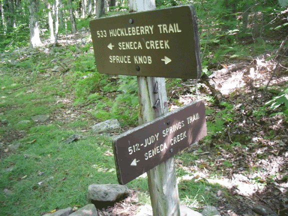
The original plan was to stop the second day at the established campsite at the impressive Seneca Falls, build a fire and relax to the sound of biomass conversion from the fire pit and the babble of the river, but after two hours of continuing to trudge uphill I began to have my doubts that my goal was within reach. After a quick gander at the GPS (I am cheap, I don’t have the Garmin that displays the map) to get my elevation and some study of the topo map, I realized that I was heading right for Judy Spring, the largest sizable established campsite on the trail, and that I had left Seneca Falls behind. Running low on water, “Noodles” (Nori) and I couldn’t afford to backtrack, so on we went until we reached the open sunny campsite of Judy Spring.
Fortunately for us, the site lived up to its name. Not far from the nearest site, a trail lead off to a tributary of Seneca Creek, and at an impressive headwall, a stream comes gurgling out of a solutional crevice (again, indicating that there is a cave somewhere under the hillside. After amusing myself with trying to climb into the opening where the water rushes forth (and that water is COLD), I refilled our bottles and we returned to our site to set up camp, roll up the pant legs and enjoy the lazy afternoon.
At some point in the morning I woke to a noise outside of the tent. It was close. A sort of scratching sound through the tall grasses, and then I heard it actually rub up against the nylon wall of the tent. Nori was all balled up, shivering. I unzipped my sleeping bag and pulled her inside. It was, after all, around 41° F. She took in a deep breath and then sighed, and fell back asleep. I figured that if she wasn’t too concerned about the sound of whatever critter it was crawling around outside of the tent, then I shouldn’t either and I drifted back off to deep sleep to the melody of the Seneca, babbling away in the dark.
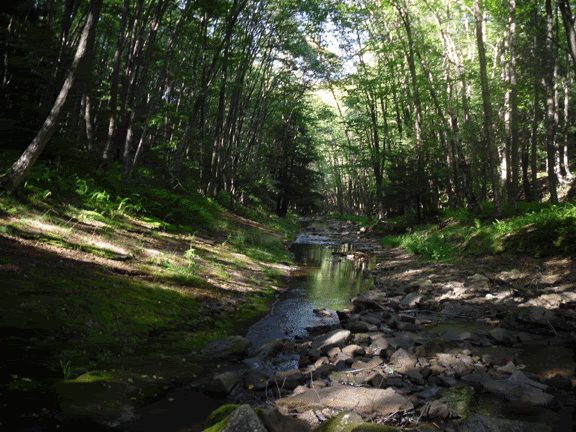
The morning fell heavy, leaving a veneer of dew on everything. The birds were hailing the rise of the sun as I rose and cooked breakfast. After a few more moments of waking up, I packed up camp for the last time, hoisted my pack onto my aching shoulders, hitched up Nori to my waist belt, and off we went, crossing the wooden foot bridge over the Seneca and started the slow ascent to the end of the trail.
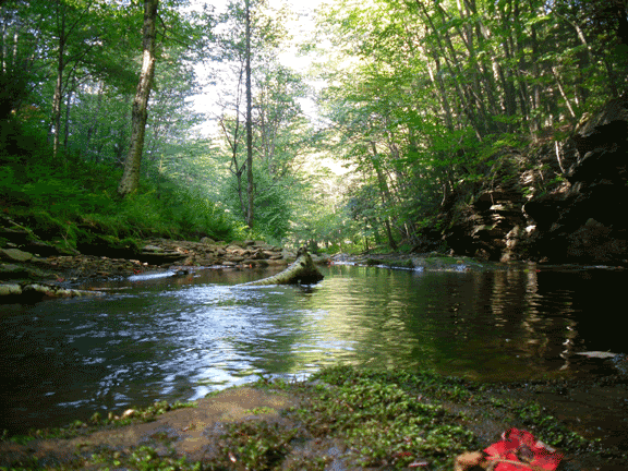
The end came abruptly, rudely interrupting the joy of walking. It started as a bright clearing ahead on the footpath, and then I saw the sullen hulk of my car, waiting like a dog that waits for the return of its partner. We had reached the end.
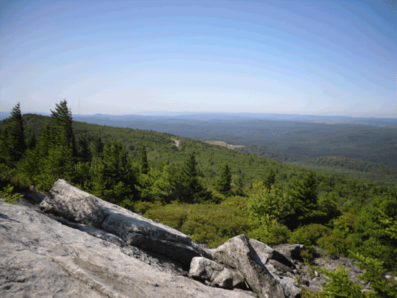
Returning to civilization, I decided to take us on a brief detour to the bald head of Spruce Knob; the last time I had been here was in January nearly twenty years ago with a friend from Junior High School. We had reached the summit of the highest point in West Virginia.
The Seneca Creek – Lumberjack Trail – Highmeadows Trail loop is in the Monongahela National Forest, and contains some of the most remote areas of Pendleton County. For more information, visit the Monongahela National Forest website. When travelling through the back-country, please follow all rules regarding campfires and follow the best practices of hiking in remote wilderness. Always tell someone where you are going and when you plan to return. Wear appropriate footwear and clothing. At these elevations the weather can be unpredictable, so come prepared to be dressed in layers and bring waterproof clothing, and take in the infinity of it all.

Thursday, June 25, 2009

Marshall's Cave


Highland County, Virginia is a hotbed of cave exploration. Home to some of the longest caves in the state, the Chestnut Ridge cave systems and the systems of Burns Cove move massive amounts of water. And I do mean massive. The Butler-Sinking Creek system is now recorded to be seventeen miles long, and the related Chestnut Ridge System is fourteen miles long. The two are related hydrologically, as is nearby Aqua-Lockridge, and on the other side of the mountain is the Water Sinks System which is thought to possibly be a major contributor to the fridgid waters of Aqua, also known as Refrigerator Spring. Across the Cowpasture River is a small trail about a mile long that leads to one of my favourite places under-ground, called Marshall's Cave. When pondering the caving possibilities for the Boston Grotto/MIT caving trip back in February, this cave was one of the first that came to mind. I had last visited the cave about fifteen years prior, right before I left for college with my friend Christian, and I remembered being impressed with the absolute scale of the formations and the picturesque cave passages. This is not the longest cave I had ever been in, but it certainly was the most formated and large, complex horizontal caves I had ever been in.

After an evening of recovering from the Valentine's Day adventure of Site's Cave, and late evening debacle of locating Cave Rat Cave, finding out that we couldn't get into Cave Rat Cave through the horizontal entrance so aborting the trip instead of a hike in snow flurries to Kee's Cave in Franklin, this I felt would be the crowning jewel of our trip into the heart of West Virginia caving. True, Sites was very challenging from the technical aspect of rappelling and ascending out, but this cave would give us a good work out, and give me a chance to strech out my legs.


Genita and Darren had left us the night before, so it was just down to Keluo, Amy, and Madeleine who had joined us later the previous afternoon. We drove the thirty or so odd miles down a non-descript country road to the Bull Pasture Recreational Area near Williamstown, Virginia. Following the Cow Pasture River, you could smell cave, and the weather was quite mild, in the fifties, compaired to our weather back home in Massachusetts and New Hampshire.

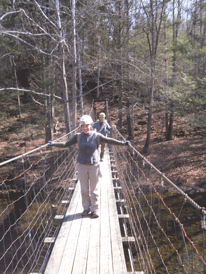
After locating the parking area, and gearing up, we headed across the suspension bridge to the far side of the river, and picked up the trail to the cave. The cave is not readily spotted since it sits high on a talus slope overlooking the river, and the only indication that you are close is when the trail crosses over a spring (which is the resurgence for the stream in the lowest level of the cave). Spotting the talus slope, we all turned up the faint trail. People do come to this cave, but my guess is that it is fairly infrequent. I have NEVER seen another group of cavers in it, and when I mention the name of Marshall's Cave, I usually get blank looks from many Virginia cavers. Either is it forgotten by most, or they just don't know about it.


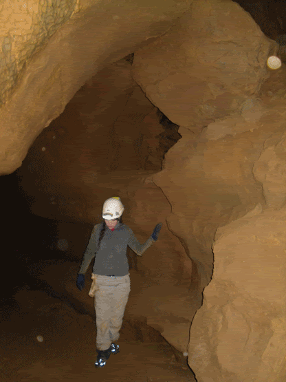
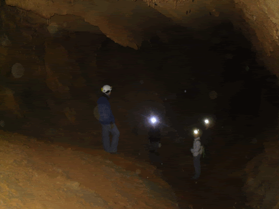
Amy and Madeleine lead the way into the cave, stopping to take pics of the small brown cave spiders that have made their home in the entrance area (for the squeamish, they are really small, and if you weren't looking for them, you would never really notice them). The passage is made up of grey limestone...even the formations are grey, and what formations are there, they have been broken off by vandals. However, we didn't come here to see the broken ones, and shortly we made our way through a few narrow squeezes before arriving at the pits that lead down to the middle level. Fifteen years ago I remember breaking out the ropes and rack to rappell down the twenty-five foot deep holes, but after a little investigation, the use of vertical equipment would be of no use, so we left the rope behind.

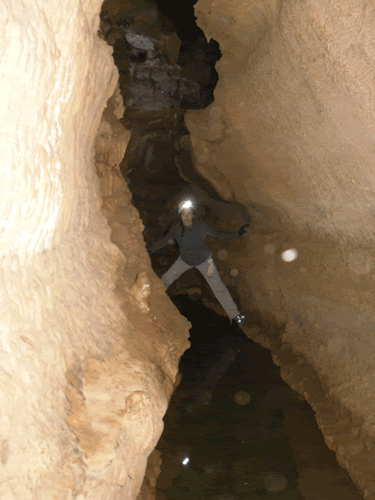
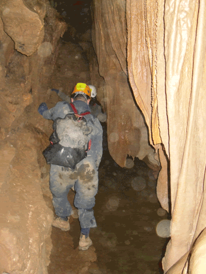
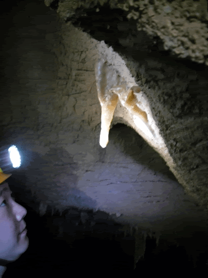
After this easy climb-down is where you first encounter the first major obstacle of Marshall's cave. Water. The water is so still that it is hard to discern where the water actually starts. But it is also here where Marshall's true beauty starts to show itself. The formations are active, still receiving the mineral laden water that slowly builds them up. The passage is a narrow canyon passage that you have to traverse by putting your feet on the opposite walls and "walk" across, hoping not to get into the cold water. This is easier said than done, as the formations partially block the passage, causing you to sometimes bridge yourself across, duck under formations, and occasionally climb...all while trying not to fall in. Keluo was the first casualty of the trip when he attempted a duck under that brings your face within a couple feet of the water, and his foot slipped and ended up thigh deep.

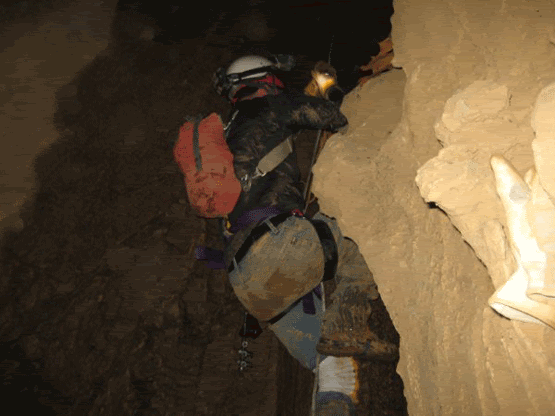
On about three occasions you reach a formation choke in the passage, and the only way to continue is up the wall, some of them with tricky hand and foot holds. For someone whi is trying to learn various chimneying and non-rope based technique, this cave is quite fun and offers opportunities for you to stretch yourself. Finally, after this third formation choke, and climb up the wall, there is a fifteen foot drop that you don't want to go down, and building up the confidence that you can do it, and your dependency upon friction can be a little disturbing at first, but not too difficult.


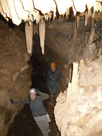
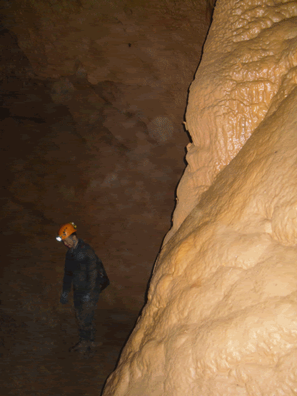
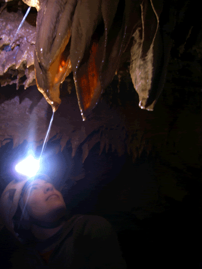
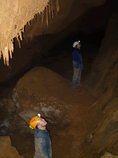
After crossing the drop, there is a climb down to the big part of the cave. It is a fairly tall canyon passage full fo large formations, mostly columns and flowstone that reach forty feet to the ceiling. Following this passage back, we spent quite a bit of time photographing the formations and the occasional bat. The passage quickly goes from walking to stooping, and then finally it appears to end. I remember fifteen years ago that there was a gypsum flower (a formation where the gypsum, usually a mineral of drier caves, almost seems to have been extruded from the rock like toothpaste) but it is gone. This could be due to increased moisture in the cave or, more likely, someone decided to take it home (where it turned into disappointing dust most likely).

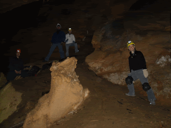
To the rest of the group it almsot seemed like a disappointment...we had reached the end of the cave. Not quite ;) We turned around and headed back toward the entrance. Part way back the passage, I asked the group to stop and look by their feet. There was a small opening that lead into blackness. This is the entrance to the lowest level of the cave. After Amy slipped into the darkness, the rest of us followed, and then slid down to the bottom. It is here that the ceiling are really high, a good estimate is about seventy-five feet or so. It is also here that there is the stream that resurfaces at the spring that we crossed on the way in. Amy and Madeleine disappeared among the formations toward the back of the room. Keluo and I took some photos and I took the time to change my batteries. I was trying to encourage the group to take a sip from the stream, going against all presuppositions that one shouldn't drink unless it is from a tap, but it is the sweetest, cleanest tasting water I have ever had.


Marshall's Cave is located in the recreational area near Williamstown, Virginia. Though horizontal and following in pretty much a straight line so it would be difficult to get lost. However, that being said, please do not go caving unless you are with a minimum of three people, three independant sources of light and at least the basics of caving gear. If interested, please get in contact with your nearest grotto, or if you have any caver friends. The last I knew, this cave is currently closed due to federal and local governments folling the recommendations for the protection of bats from White Nose Syndrome. Though this is not a "bat cave" per se, it is the policey of many places that no one enter the cave to prevent the spread of this tragic condition afflicting our bats. As a caver, it is our responsibility to be like the Lorax and speak for the bats. We were very fortunate to have been able to get in the caving that we did in West Virginia and Virginia when we did since they closed the caves shortly thereafter. There are caves that are open, please check available web resources and with local grottos (caving clubs) to get information on what caves are available for entry.

Sunday, March 1, 2009

Outta Site's


Above the day is bright, sunny, warm while below is one hundred and fifteen feet of nothingness; a lone caver shaking uncontrollably, out of breath, sweat soaking through layers of polypro. He is begging her to let him go, and once again stares up the stony throat of Site’s, suspended between safety and the voices of five cavers drifting up from below. The rope is not sliding through the croll ascender yet again. He yells, “PULL!” He spins slowly in the air. What the hell have I gotten myself into? he thinks. Finally, feeling the rope tighten through the ascender, and mustering as much strength and sheer force of will, he draws his legs up underneath, grunting loudly, stepping down in his foot loop and drags the chest ascender up just a few more inches toward the surface…
For being a trip leader, I am setting one hell of an example …

I grew up in the hills of Virginia about three hours east of Franklin, and became familiar with the area once my grandparents moved to the area when I was about 12 years old. My grandfather worked for the George Washington National Park Service as a groundskeeper, and he found a small crack blowing air with a creek flowing out of the bottom. He took it to me and I was hooked.

So, when the trip to Franklin, West Virginia lost its original trip leaders, I felt somehow obligated to step up to the plate since I knew the area fairly well, though it had been about 15 years since I had ACTUALLY been caving in West Virginia. I knew I was going to need some help. Being from New Hampshire and a fairly new member of the Boston Grotto I didn’t really know anyone in the group. Keluo Yao, who also signed up for the trip, was naturally a good choice for a co-trip coordinator, and if it wasn’t for his help, this trip would not have really happened (so Keluo, I am in your debt).

Eventually, through both of our efforts, ten people signed up for the trip and six people confirmed that they were going on the trip. Made mostly of current and former MIT students, the trip group was made of: Amy Lin, a grad student from MIT, Genita Metzler and Darren both former MIT students, Madeleine Sheldon-Dante another former MIT student, and then Keluo and me. Amy and Keluo met me at the student centre at MIT at five o’clock on Friday the 13th (auspicious day to begin a caving trip). After miles and miles of familiar territory, we arrived at the Thompson’s Motel around 6:30 PM. We ate dinner, poured over maps, and turned in for our seven o’clock meet time for breakfast in the restaurant.

After breakfast and catching up with Genita and Darren, we arrived at a small and non-descript jeep trail leading up the side of an equally non-descript mountain, and started the hike up to the entrance of Site’s Cave. The day started out cool and beautiful. For directions that followed the typical country instructions not including the innocuous phrase, “Up yonder”, they were excellent! We spotted the memorial plaque for Richard “Dick” Sanford, and then the nearby impressive maw of the cave entrance leading into the depths.


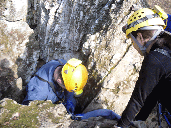
The group had doubts about how well the 250 feet of rope I brought, all snake wrapped, was going to unravel as it was dropped into the cave, but after its 185 foot trip to the bottom, we heard a satisfying thud as it landed somewhere below us. After buddying up and double checking each other’s gear, Keluo turned on his radios, and giving me one (since I was going to be the last to descend), he went on rope and began his slow drop to the bottom. What seemed to be forever, the radio squawked to life, and Keluo announced that the rope was free and ready for the next person to go down. Next was Genita, followed by Darren, then Amy and then finally it was my turn. I bid adieu to the sunny day, crossing myself, began my backward walk to the bottom.


Watching how the walls changed from jagged rock to smooth and then eventually hanging in free space was absolutely incredible. The rugged rock gave way to smooth walls bearing fossils of chrinoids, and then I touched down on the dirt and leaf slope twenty five feet from the bottom. Here, right at the drop, was an interesting obstacle, barely large enough to admit a human body through it. Finally, wriggling through something the size and shape of a public toilet-seat, I continued down and joined the rest at the bottom. Here we left our gear, and worked our way to the very bottom of Site’s.


The owner, Diane Zimmerman, had asked up previously to document the bats for any sign of White Nose Syndrome. We immediately began taking pictures of the bats, and looking for any dead ones on the floor. We found nothing. The bat’s glittered grey from the ceiling from the condensation on their fur. All seemed to be resting peacefully. We headed to the west toward the Big Room. For many in the group this was their first experience in a “big” cave, big at least on New England terms, and unlike many of our New England caves, this one also had plenty of formations for people to gush over. There is virtually no evidence of damage to the formations. It could simply be described as exquisite.


Once in the Big Room, Darren and Genita found a series of small passages leading downward at a steep incline, and after some debate, they rigged fifteen feet of webbing as a hand line to assist with the trip back up. Meanwhile, Keluo was working with Amy on time exposure photographs, light painting the room. Genita announced that there was a room at the bottom of their climb down and said it was worth coming down. Darren worked his way down, followed by me and a few embarrassing photographs, then the other two followed. Even with five people crammed into this small space one could still feel cool air blowing past us into something further, whispering that there was something yet to be found, but by this time we had reached the one hour mark when we were to return to the surface and call our contact person who was anxiously waiting for us to call that we were safely out. But we still had a lot more cave to go.


After climbing back out and returning to the main trunk passage at the bottom of the drop, we decided that it would be prudent for us to quickly check the rest of the cave. Amy and Genita went on ahead toward the Mud Room at the Eastern extent of the cave. We did have a brief moment qor panic when they were out of earshot and we felt it necessary to fetch them out. They did not quite make it as far as the Mud Room, but we felt that it was necessary to exit the cave promptly since we did have a sixth member who was also expecting us for lunch back at Thompson’s.

Being the last to descend, I was to be the first to ascend up the rope and then be the surface support person. I geared up, had Keluo check me over, attached to the rope and began my ascent. I started out strong, though I was having a little difficulty with the rope not passing easily through my croll ascender. With the assistance of the four to follow me up, I began up until I reached the strange body sized slot that the rope passed through. There is no graceful way to get past this, you just push off with your feet, jam a padded knee wherever possible, and work your way slowly and methodically up. I made it to the debris slope at the bottom of the 117 foot section. The entrance was far above with the warm bright inviting day beckoning. I tried to continue, but again came the difficulty of the rope passing through my croll, but this time because of the debris slope, my body naturally wanted to spin so I was facing away from the wall back to the people below me. I began to struggle, and my body was beginning to let me know that I was exerting myself. I stopped frequently. Sweat began to pour. What the hell have I gotten myself into? Can I do this? I practiced ascending many times over the summer while I was getting myself back into shape for doing vertical work. I KNOW that I can do this. The others started to call from below to ask if I was ok. I called back to them that yes, everything is ok, I am just getting tired. I continue my ascent. The entrance seems further way now. The rope continues to not slide through my croll. The first thoughts that began flowing through my already admittedly strange internal monologue are Oh my god, what if I get stuck on the rope? How are the others going to get out? Calm yourself! You’ve done this several times, you are just out of practice! You can do this! The others somehow were on a similar wavelength and started shouting words of encouragement from below.

Grunting loudly, and occasionally giggling I made my way up to where I could touch wall, and finding ledges, the ascent became exponentially easier. The entrance lurched closer and closer with each step upward. Grunting, I hauled myself out onto terra firma. Laying on my back in the bright afternoon sun, I picked up the radio and announced that I was safely off rope. In what appeared to be about one third of the time, Amy finally came into view, and eventually the rest. After making a drive back to the main road, and finding the elusive cellphone signal to announce our escape from the cave, I returned to the cave entrance, and the first thing out of my mouth was, “So who wants to go again?”

Sites Cave is on private property and the land owner MUST be contacted prior to the trip. It doesn't matter if you have been given permission before, you must inquire before every trip!