Wednesday, November 16, 2011

Knick-a-Weet-a-Who?


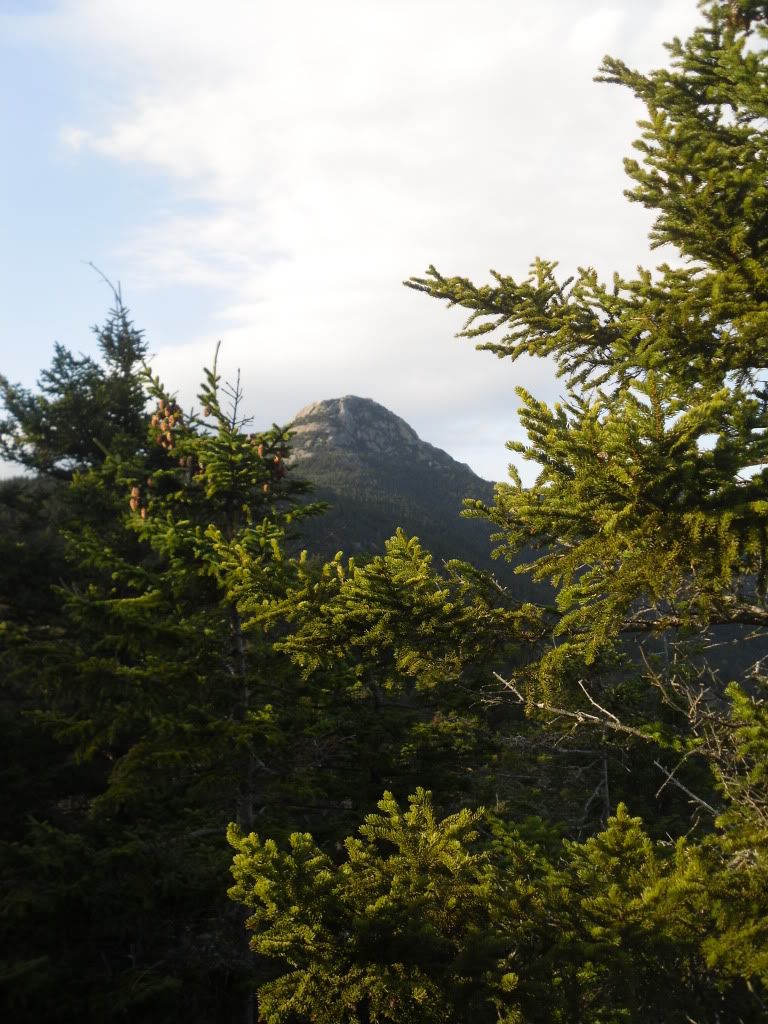
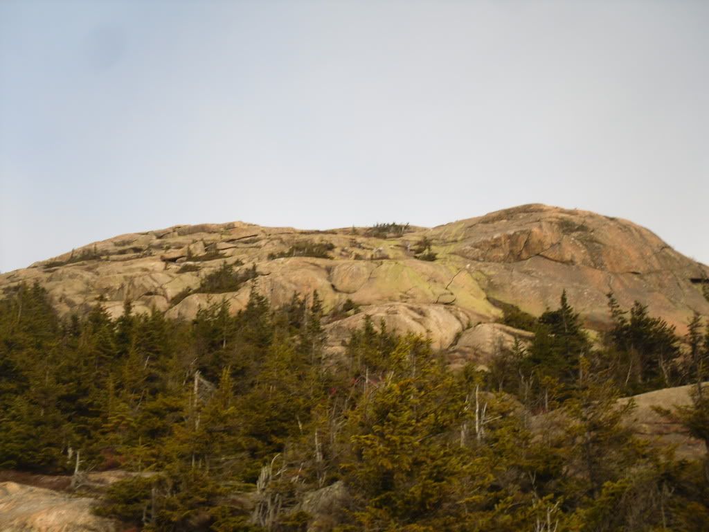
Mt Chocorua is one of a very small hand-full of mountains in the state of New Hampshire that has a bald peak but still has an elevation below 4,000 feet.  It is likely one of the most recognizable mountains in the state, and according to the AMC guide books it is one of the most photographed mountains in the world.


I have been living in the state now since 2000 and many a time I have driven past the picturesque bald cone of Chocorua and the Lake at his feet, and often I had thought that it looks like it would make for an awesome hike.  So when my girlfriend had mentioned that it is one of her yearly pilgrimages I finally realized that I would finally have my chance.  I mentioned this to a co-worker and found out that it was one of his yearly pilgrimages too, and next thing you know we had three of us planning our next adventure to the summit.

After a few false starts due to weather and circumstance, finally on November 12 we arrived at the trail-head of the Piper Trail, named after the farm that the trail cuts through, and began our ascent around 7:30 AM.  My friend Matt had suggested that we take the lesser traveled route (sometimes it ended up being the never-traveled route), and we has planned to make a giant loop out of the day, covering somewhere around 12 miles, but only retracing our steps for less than 1.6 miles of the trails.


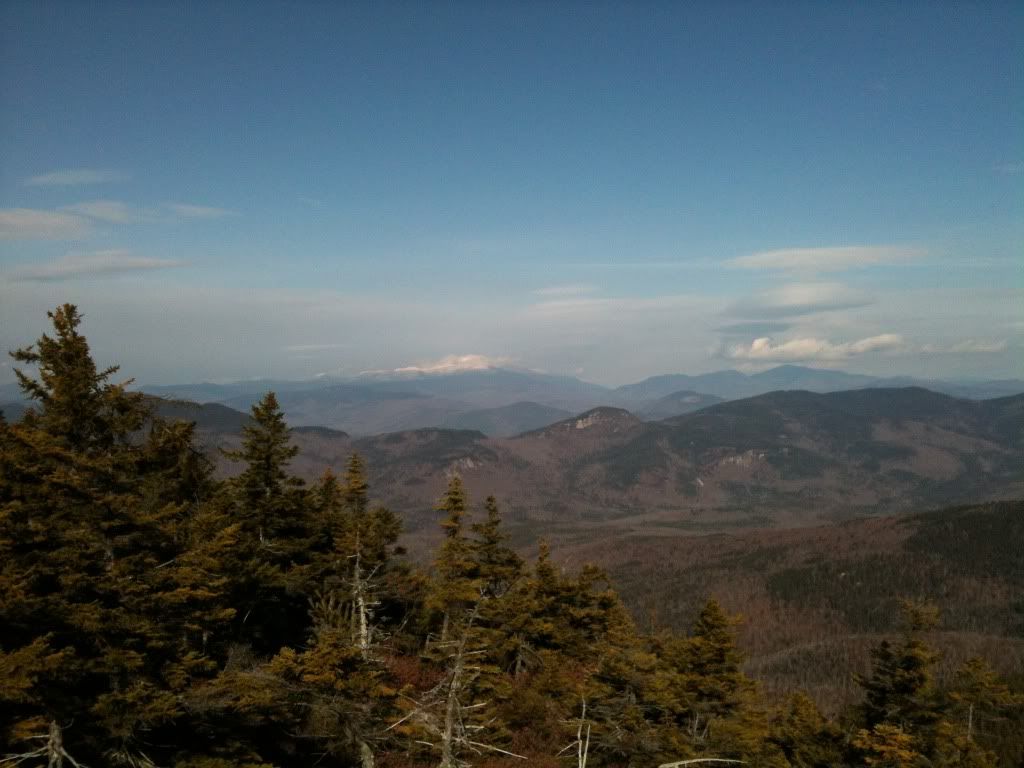
The morning was freezing but the sky was going to be clear, so the views from the bald summit were going to be impressive (and I have to admit, this has quickly become one of my favourite hikes).  The Piper is a very gradual and easy trail for the first .6 miles until we reached the Nickerson Ledge Trail which takes a very steep ascent to the first of three peaks called the Three Sisters.  It was also about here that we ran into three backpackers who had set up an illegal campsite, but until we joined back up with the Piper Trail on our way to the true summit, we did not see another soul.  It was from a top the first peak of the Three Sisters that we caught our first glimpse of Mt Washington and the other Presidentials shimmering brightly in the distance.


From here we picked up the Carter Ledge Trail, which happened to be a very gentle ridgewalk that takes you through tall thick forest until you reach your ascent on Middle Sister Trail to the peak of the Middle Sister.  Once attaining the peak of the Middle Sister you get some really excellent views of the false peak and the true peak of Chocorua.


We visited the weather station at the top, caught a quick snack before we continued on to the mail goal looming darkly ahead.


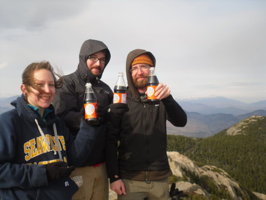
The peak was reached somewhere around 1:30 PM.  Significant because we had covered a decent amount of ground of fairly difficult trail in a short amount of time, but also because we had to book it as quickly as possible if we wanted to arrive back at the car in time for sundown.  We paused to take in the view from the summit, have a celebratory Moxie and then prepared to begin the trek down.


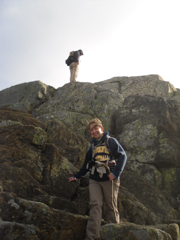
It was about here that we couldn't locate the trail, and somewhere below us on a ledge we could see a cairn indicating that the trail was somewhere below.  Matt had been this way several times, so Heidi and I followed.  It was about here that the  next 500 feet of descent got a little hairy.  Friction was on our side, and after Heidi and I had a few moments of tense bouldering and fancy footwork we joined up with Matt who had taken a slightly more difficult route that involved a ten foot slide through a crevasse to reach the trail below.  Hopefully this act will not be repeated again.


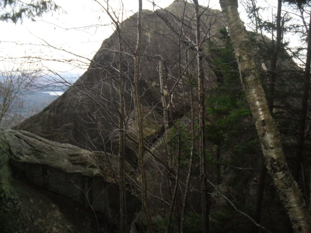
From here we reached the Liberty Cabin and broke for lunch seeking shelter from the wind.  After wolfing down our PB&J, locating the geocache and leaving a package of peanut butter crackers and a Nature Valley bar, we continued on to the Hammond Trail and Weetamoo (not sure why, but the name of this trail just strikes me as funny).  On the Weetamoo we encountered the former summit of Chic (two massive boulders toppled over by glaciers), and then after a river crossing, we returned to Piper, and 1.6 miles later, the car.  End time was just after dusk, around 4:35 PM


The total mileage attained was somewhere around 12 miles (give or take thanks to the harrowing descent from the peak and then some milling about that we did on the way up).  And after a well deserved stop at the Pizza Barn and the destruction of a Farmers Daughter, we returned home.

Mount Chocorua is honeycombed with many trails and alternatives to reaching the summit.  The list of trails we followed in only one of many options available.  Upon first glance at the distances involved, it is very easy to be deceived and to think that your hike will be easy (from the trail-head of Piper, the distance to the peak is 3.6 miles).  Do NOT be deceived.  Bring plenty of water for this hike.  Even in cold weather, you can quickly become dehydrated without even realizing it.  Also, arrive at your trail-head early.  The trails are frequented throughout the year, but following some of the lesser known trails you will find that you are by yourself which leads to another point: stay on the trail.  There are many ledges and it can be easy to lose your way.

Though the mountain is below 4,000 feet, I would have to rate this slightly higher than the Mount Washington segment of the Presidential Traverse.  Though less technical, the trail is slightly more difficult in regards to the amount of elevation that you gain in a very short amount of time.

Simply, some New Hampshire Fall hiking at its best!

Monday, October 17, 2011

Where the Sidewalk Really Ends


Shel Silverstein (author of the book Where the Sidewalk Ends) likely didn't know of the existence of the town of Hill, nestled next to the Pemigewasset River (or as we just call is here in NH, "the Pemi") near Plymouth, New Hampshire, nor would he have known that there really are sidewalks that just end...and lead to nowhere.


This was not always the case with the town of Hill.  First, if you look at a map the town of Hill still exists now at a safe distance above the Pemi.  This region of New Hampshire was once, and still occasionally is, affected by floods especially in the Spring during the snow-melt from the White Mountains.  These floods had devestating effects on the small town of Hill.  Founded in 1753 under the name of New Chester the name was changed  to Hill in 1837 in honor of Isaac Hill, NH governor from 1836 to 1839. 

In 1941 a new dam was constructed near Franklin, NH in an attempt to alleviate the flooding issue that had plagued the area.  This was when the entire town, including buildings and graves, were relocated to higher ground.


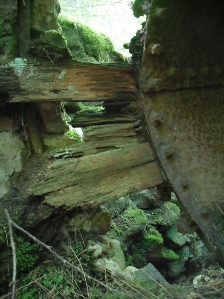
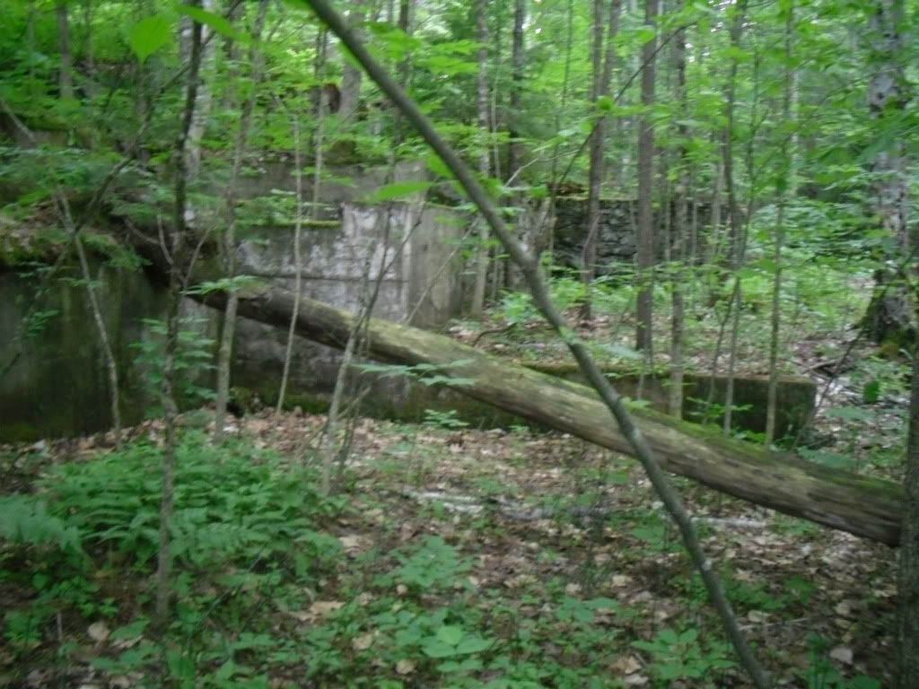
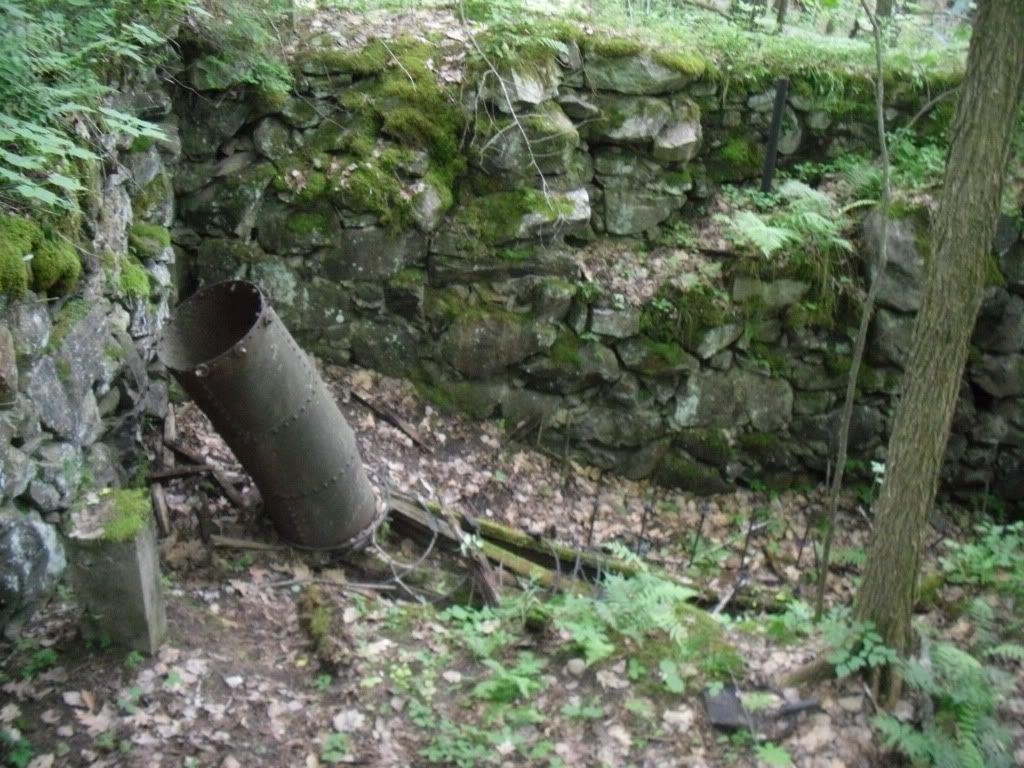
From the parking area on Old Town Road, Shop Road enters the woods following a swift flowing brook on the left.  Here is where your first structures are encountered, the remains of an old mill with a marker nearby showing the various flood levels that used to plague the area.  The most apparent remains of the mill will be some concrete walls and the penstock on the brook side of the road, but the main ruins are easily missed on your way down.  There are several paths that lead you into the larger ruin complex which is very impressive!


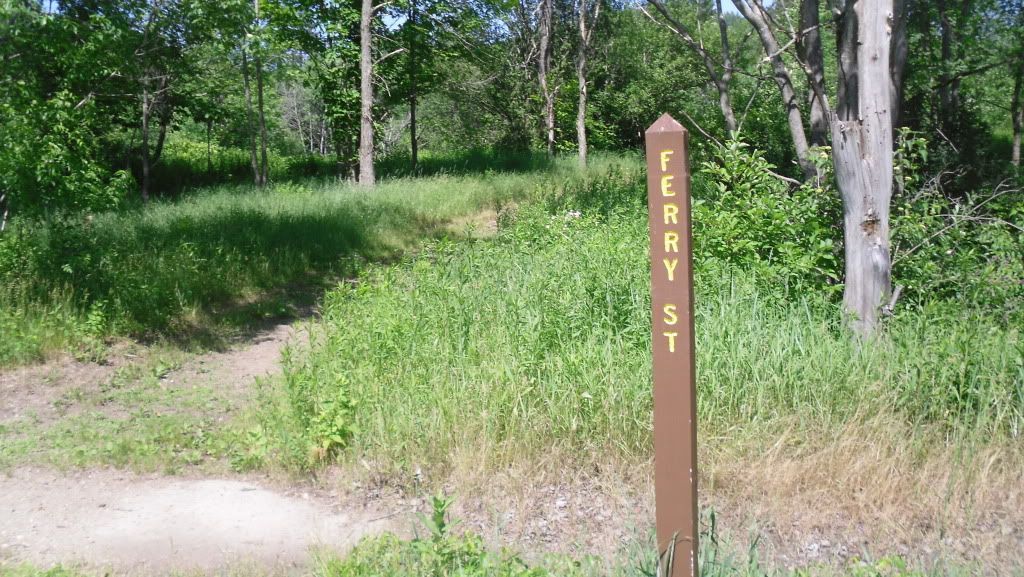
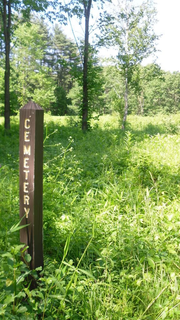
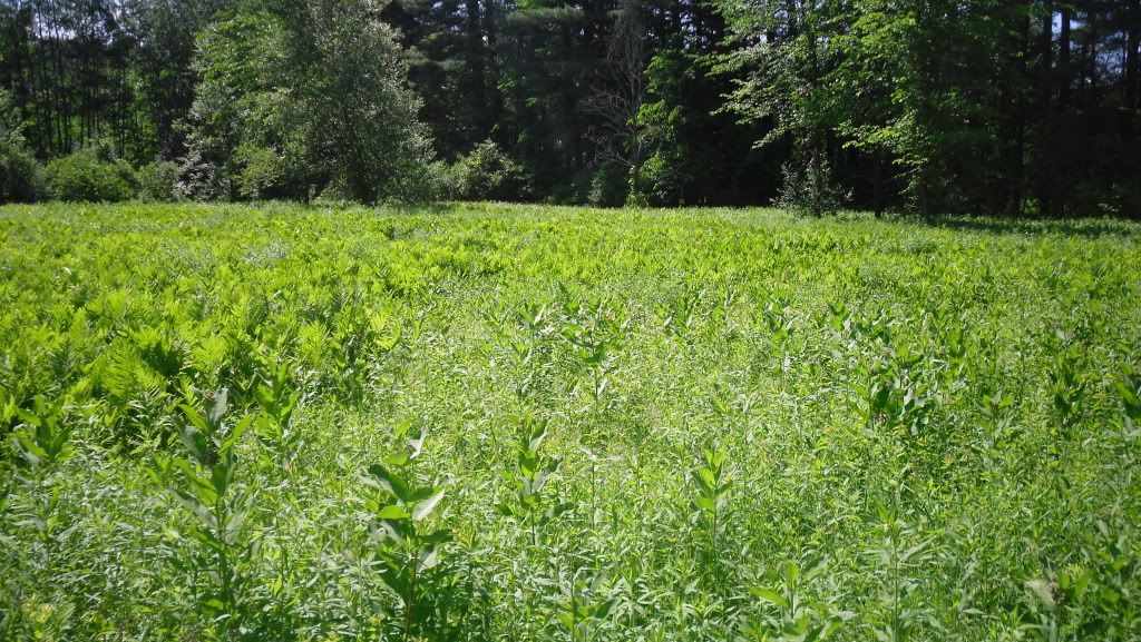
Shop Road ends at the bottom of the hill on the broad flood plain on which the town was originally constructed.  Here you reach the main street of the town, Center Hill Road, and the road T's heading north (to the left) and south (to the right).  On this particular trip we went north where there are broad open lots, a few posts telling you the name of the old streets and open lots.  Just after crossing the bridge, Ferry St begins on the right, and following this narrow path you will eventually reach the old cemetery with fields of poison ivy everywhere.  There aren't any graves left, or at least that we could see.  Ferry Road ends and another unnamed road travels parallel with the river.


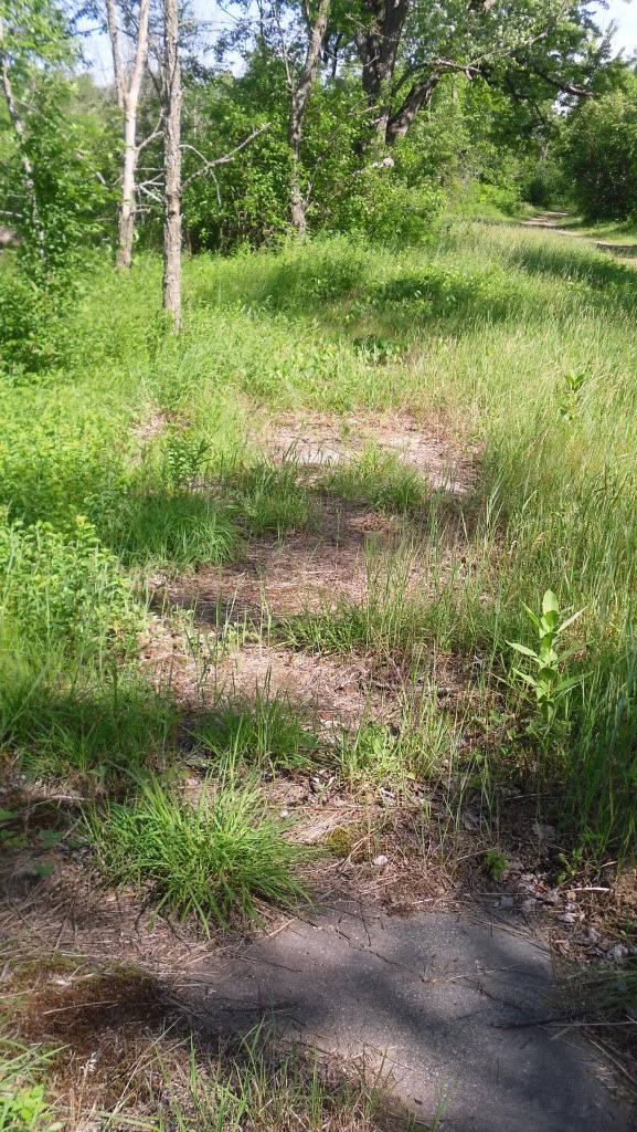
Back on Center Hill Road and traveling north you will pass by the old lot that the school sat on, the only evidence of it being there is a concrete pad near some trees, and on the right side of Center Hill Rd are the old sidewalks that peek out from beneath leaves, wild strawberries, poison ivy and dirt that has slowly taken everything over.


Eventually the road exits the town and re-enters the woods and on the right it a sign that simply states "The Eddy" and a path.  This leads you down to a sheltered lagoon on the Pemi and some really nice rocks to stretch out on, soak up some sun and silence.

Unfortunately we ran out of time to explore the southern end of Center Hill Road, but evidently this is where the majority of the foundations are found.  We will be making a return trip to explore this part when the poison ivy is a little less threatening.

Old Hill directions:
  • Take I-93 North to Exit 20, Rt 3
  • Bear west toward Rt 3A
  • Bear North on Rt 3A into Hill
  • After passing the post office (on right, very easy to miss), continue for about a mile to Old Town Road.
  • Turn right and you will pass a cemetery on the left and park in the parking area at the entrance of the Nature area.  Shop road begins at the gate.
Sturdy shoes are recommended as are long pants due to the area wide presence of poison ivy.  Trash and restroom facilities are not available, and this site is suitable to bring children.

Fire Will Attract More Attention than Any Cry for Help


In the case of the town of Centralia, Pennsylvania these words could not have rang more true.  Pennsylvania is renowned for many things: rolling farmland, the Amish, our nation's capital at one time was Philadelphia, Scranton is the setting of television series The Office, notoriously bad roads and coal...and a lot of it.


Located near the centre of the state, Centralia started out at the Roaring Creek Township in 1841, later renamed Centralia after it was determined that the name Centerville had already been taken, and was a busy coal mining town that had at one time over 2,000 souls in its heyday but this all began to change in the 1960's when the coal industry began to fail.   It was during this time that the true tragedy, not only in ecological impact but also upon the town and its people began to take shape.  It is unknown how the fires began.  One theory states that it was from the ashes of a coal burner that were thoughtlessly tossed into a hole in the ground.  Another places the blame upon a haphazard trash burning that took place in an improperly lined surface mine pit.  Whichever the case may be, the fire spread into the abandoned coal mines beneath the small town of Centralia in the 1960's and it has been burning ever since.


Media attention grew when a gas station owner noticed that the stick he used to measure the fuel level in his tank was abnormally hot, and after fetching a thermometer he found that the gasoline in his tank was an alarming 172° F (77.8° C).  Even the ground began to literally fall away beneath their feet when in the early 1980's a boy fell into a sink-hole four feet wide by one-hundred and fifty-feet (the young man did survive thanks to the quick thinking of his cousin).  In 1992 Eminent Domain was declared by Governor Bob Casey, in 2002 the United States Postal Service revoked the town's zip-code and formal evictions (or evacuations depending on whether or not you were a resident) in 2009.

The town just simply ceased to be...almost.


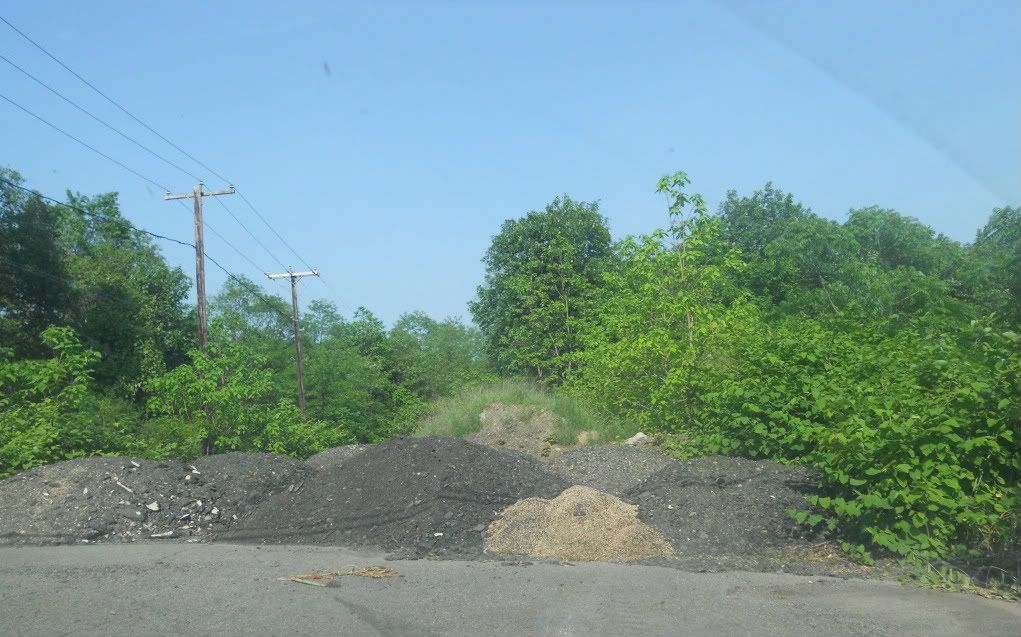
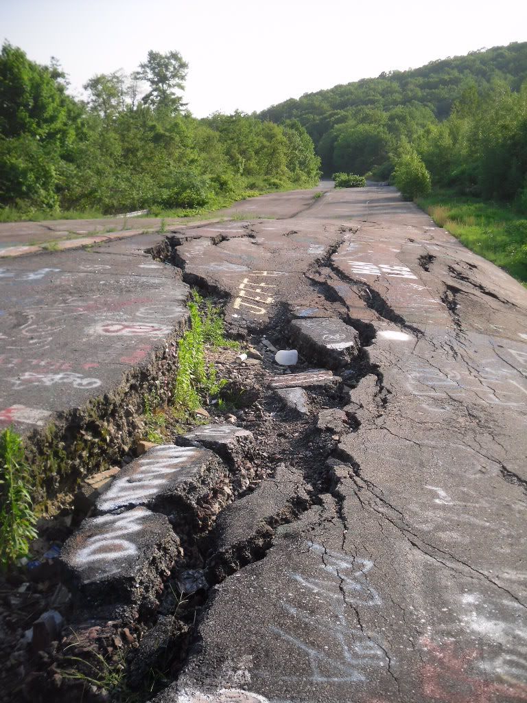
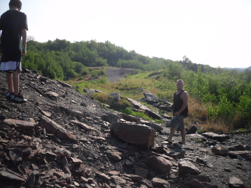
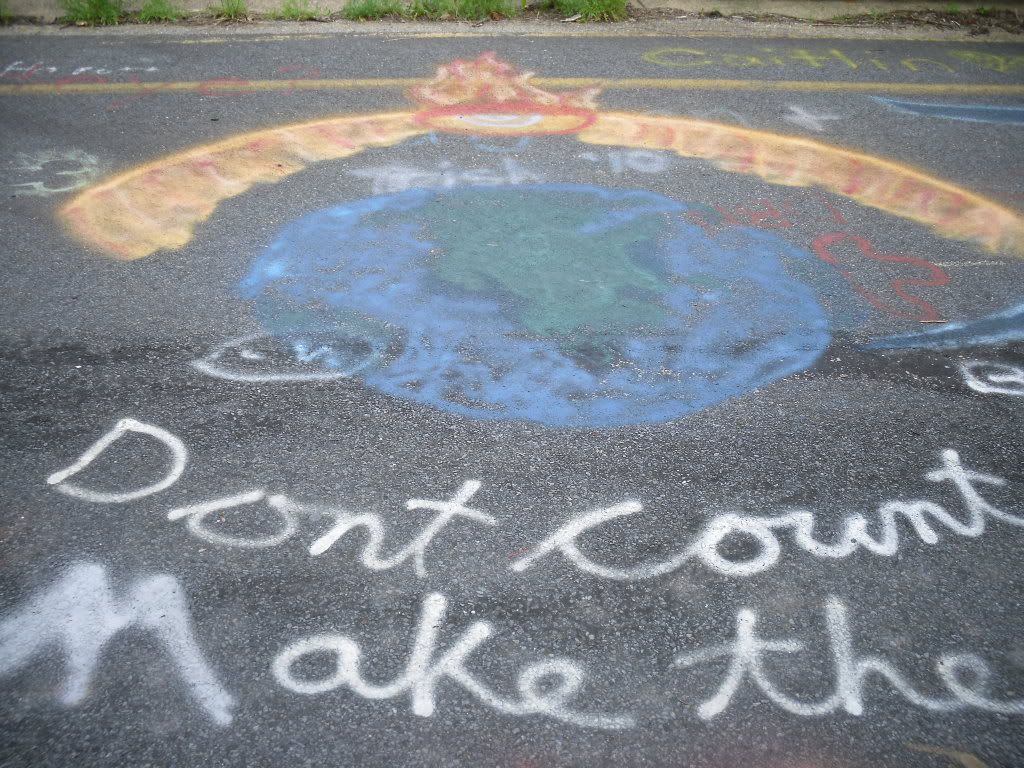
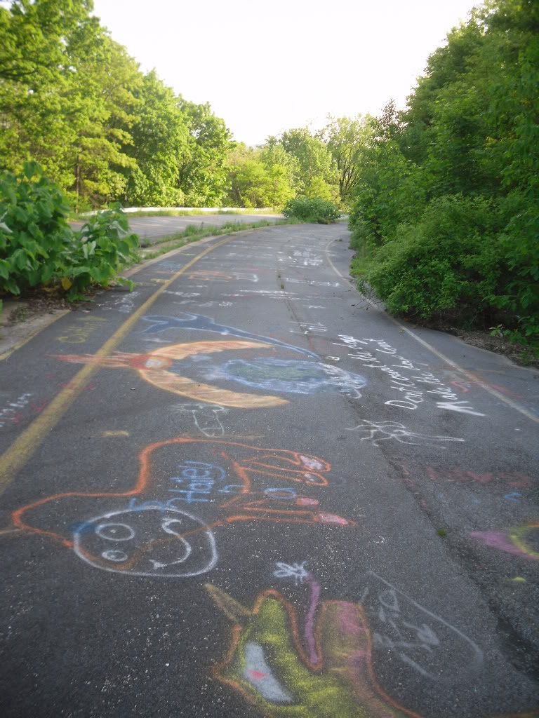
It is still possible to visit the town of Centralia, but what you see now is a slowly decaying town that has very few buildings, warning signs posted and a small hand full of very resolute residents who are trying to hold on to the homes that they have.  The town has gained a certain cult-status thanks to news paper articles, a few mentions on television shows, and it even was a source of inspiration for the fictitious hamlet of Silent Hill, but all one will find is a cemetery, steam fuming from holes in the ground and the twisted remains of PA Route 61 covered with lurid graffiti which to me is the saddest monument to the memory of this town.


The directions that I will post are from I-81 South as this is the direction I came.  I will just mention a few things ahead of time.  Roaming around the town could be literally hazardous to your health.  Coal off-gasses a lovely cocktail of carbon dioxide, carbon monoxide, hydrogen sulfide and many other things.  The ground is subject to shifting as mines collapse.  The old structures that do remain (as there are not many since they are slowly being bulldozed) should not be entered as they may be structurally unstable or could trap potentially deadly gasses. Anything you do here is at your own risk.  And yes, I will admit that this is something impressive to see, but please please please respect those who have chosen to stay here.  It is a very sensitive and sad situation.  And please do not remove any material from the site.  

Directions from I-81 South:

-Take Exit 124B and merge onto PA Route 61 toward Frackville
-Turn Left on N PA 61
-Follow this until you reach the center of the town of Centralia.  Parking can be made at the bottom of the hill from the cemetery.

Sunday, January 16, 2011

Conways


So, someone I knew was having a birthday on New Years Day, and what better way to celebrate a birthday than to go out hiking and sight seeing in our beautiful little corner of the Universe called New Hampshire!


I am a lover of trains.  Always have been as a little kid, and I remember the first train (and only) set my father gave me for Christmas when I was about ten.  Sadly, I screwed it up by putting key oil down the stack rather than through the little opening that was for the oil...and the train stopped producing little puffs of smoke.

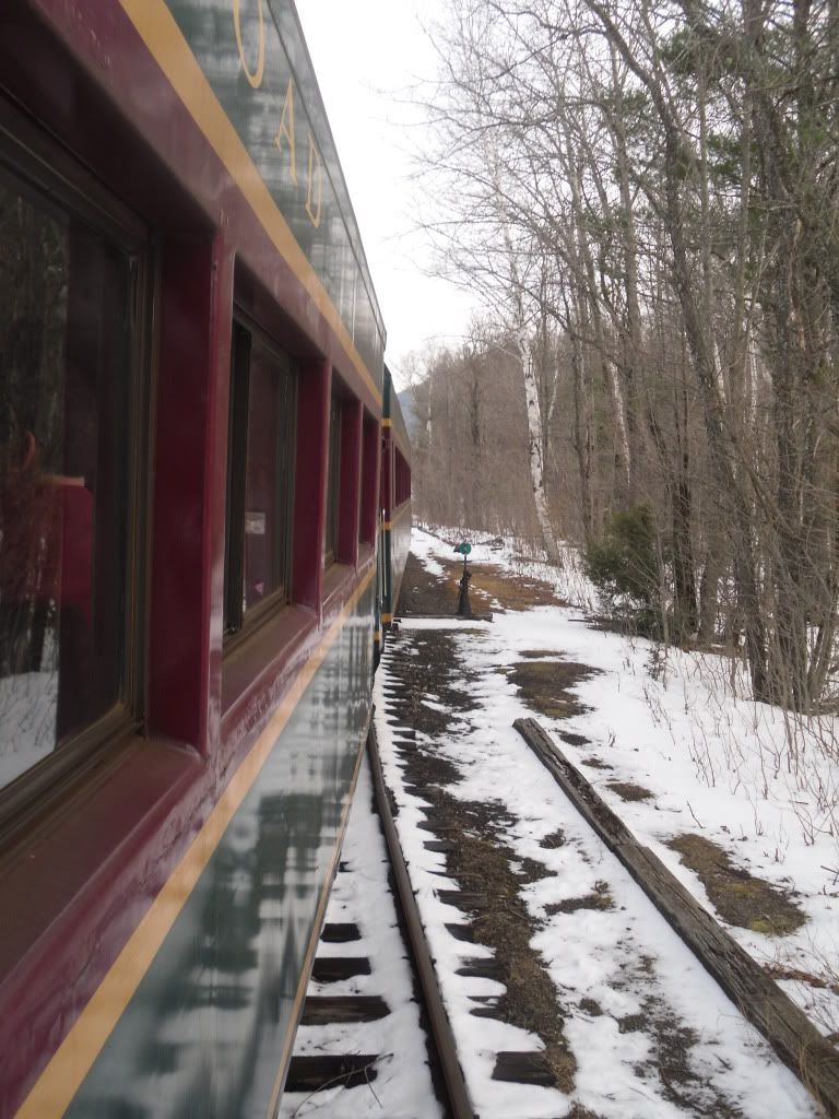
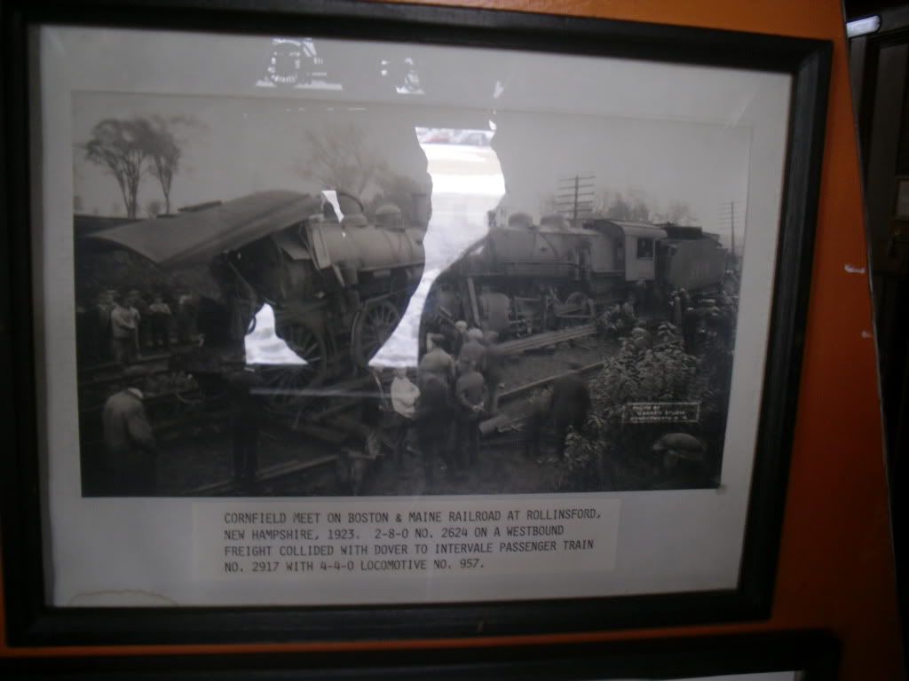
So I got us train tickets to the Conway Scenic Railroad from North Conway to Bartlett, about a ten mile ride.  The depot has a small museum, showing historical photographs of old locomotives that ran in New Hampshire, mostly on the old B & M rail lines.  I was very surprised to come across an old photograph of a crash between a passenger train and a freight train that took place in Rollinsford, NH a small town that I used to live in right on the NH/ME border!


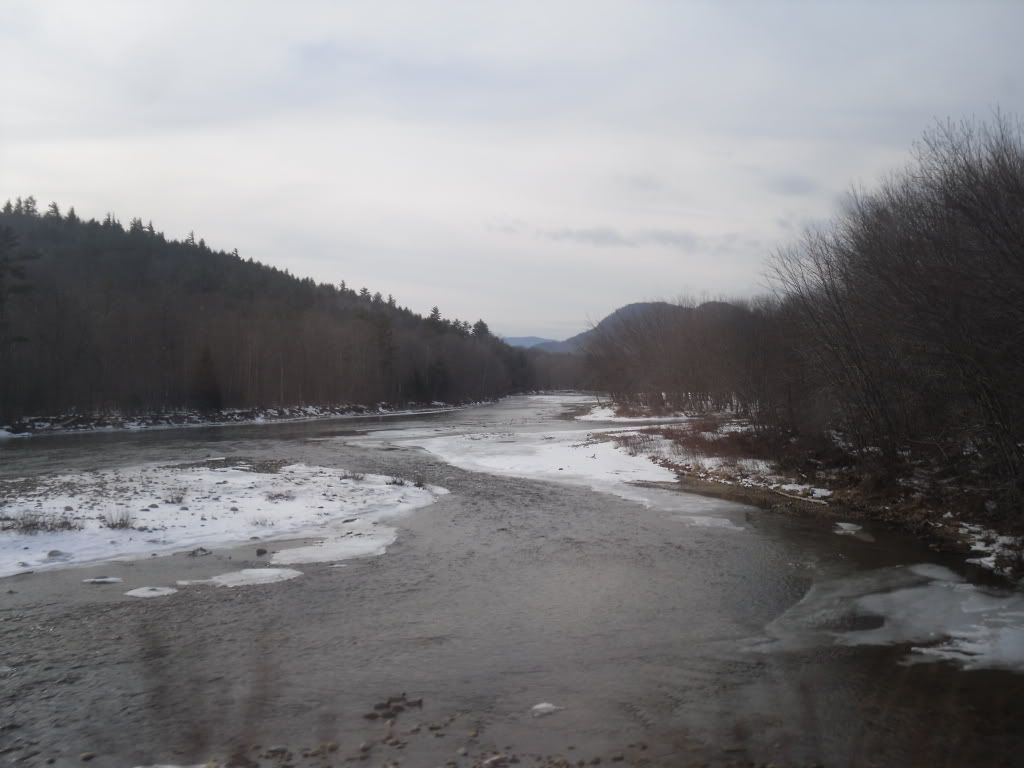
 We boarded the train, and it began its slow ten mile trip from North Conway to Bartlett.  The engineer announced over the PA different points of interest, many of them now gone, and unfortunately the majority of what you see is people's back yards, however there are some nice views of the Saco River.  This ride takes about an hour and a half to make the total 20 mile trip.  However, I definitely recommend the trip as it is easy, and is in close proximity to some other nearby points of interest (besides the shopping that North Conway provides).


  After our little trip on the train we made our way to Cathedral Ledge, and impressive hulk of rock slightly lower in elevation than White Horse Ledge (right next to it) over looking Echo Lake.  We drove as far as we could since the road is not maintained in winter and there was a decent amount of snow covering the road.  We continued on foot up the steep road, occasionally passed by people heading down on sleds (something that occurred to me as wicked fun, if only we had a sled!).

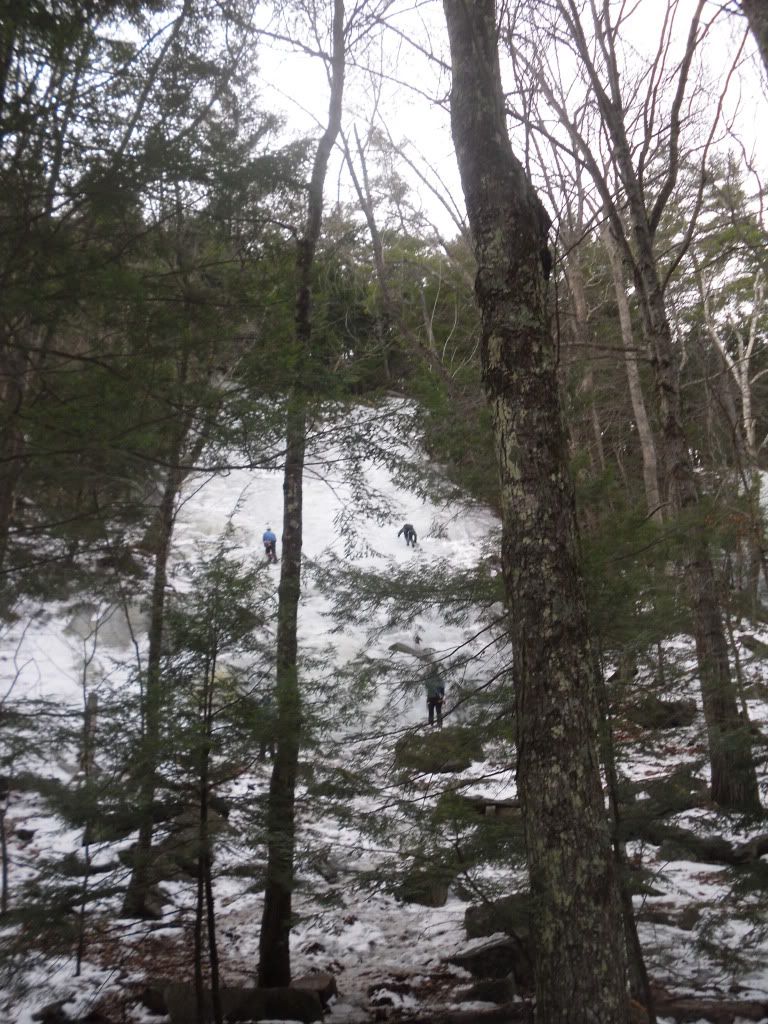
After huffing and puffing our way up the mountain (passing by some ice climbers along the way), we reached the top of Cathedral Ledge and took in the view for a while.  There were other intrepid folks to took the time to either walk up the road, or take adjacent trails that led to the top.


After spending about an hour or so, it was to dinner at the Moat Mountain Brewery, maker of their own microbrews (AWESOME!' I might add) and they offer a wide variety of food ranging from vegan to meat lover's paradise.  Then it was back home for some vegan pumpkin cake and a movie. All in all, a very nice way to spend New Year's Day in NH!

For more information about the Conway Scenic Railroad, please visit their website.

Wednesday, September 16, 2009

The Infinity of it All


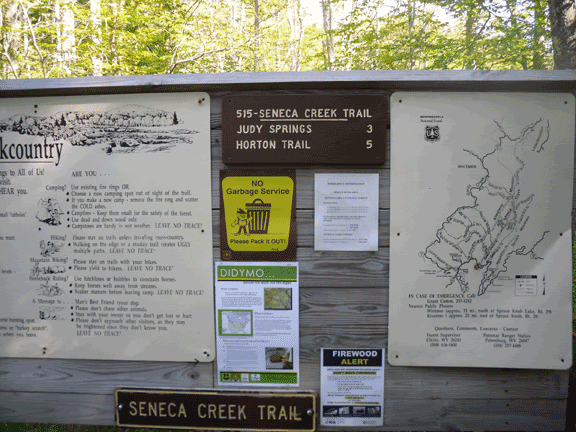
Funny how when one reaches the end of the trail it happens unexpectedly, after climbing slowly out of the narrow canyon carved by the Seneca Creek, I saw the gentle left bearing curve and a clearing ahead, hoping that it was nothing more than another one of the numerous meadows along the path…until I spotted my car sitting bluely in the small parking area at the head of the Seneca Creek Trail finally signaling the end of three days in the Wilderness of the Monongahela National Forest in northern Pendleton County, West Virginia.
This was a trip at least a year in the making, definitely before my Shiba Inu pup, my only companion on the trail for three days, was a glimmer in her breeder’s eye, and what else would have first lead me to even pondering this trip except the lure of three caves that are likely the most remote known caves in the county. After reading the descriptions over and over again, and then purchasing the USGS topo maps, I had a general sense of where the real prize possibly lay, High Meadows Cave discovered less than a decade earlier with the remote, no pun intended, possibility of having yet to be explored passage. I decided that this trip was a must. Little did I realize that I was to stumble upon one the West Virginia’s best kept secrets when I began my first few steps down the soggy Lumberjack Trail.
The Bug-lette, flying as co-pilot, and I began our trip to West Virginia two days before hitting the trail with a brief overnight in Harrisburg East Campground (which I will stop short of recommending to anyone, granted it was quiet and cheap (the main criteria), but would I want to stay there again, no. The following day we arrived at Thompson’s Motel (you may recall the motel from the previous caving trip to the nearby Site’s Cave), friendly to not only cavers but backpackers and fortunately dogs as well. My parents made the three hour trip over the mountain to come and visit before I lost my last chance for a shower and general cleanliness for a while.

As a brief detour, I decided to take a drive past our eventual destination, and take a warm-up hike part way up Seneca Rocks, the iconic twin-sandstone slabs beloved by rock climbers. A lot had changed in the past fifteen years since I had visited Seneca Rocks. First of all the Visitor’s Centre had burnt down, and had now been replaced with an expanded one, and the original trail system that one took to the foot of the talus slope had now been replaced by a series of bridges and suspended walks as an archaeological site had recently been discovered there.
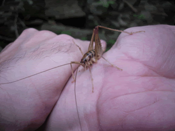
We also stopped at one of my favourite places to go caving, Kee Cave, now closed due to White Nose Syndrome, a fungal disease that is affecting the northeastern bat populations. While hiking to the cave, Nori started chasing something that I later rescued and discovered as a cave cricket. Normally it is not recommended to handle them since they are a cave animal therefore very fragile, however I decided that when faced with impending doom at the hands of my dog that some human intervention was acceptable.
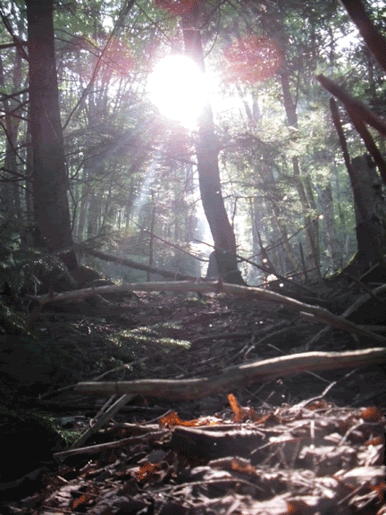
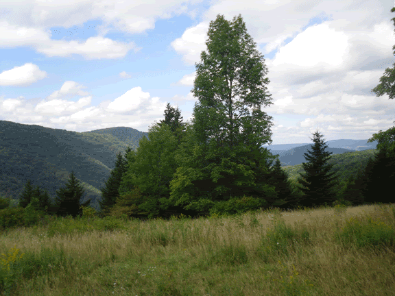
We left Thompson’s early the next morning after catching breakfast at the restaurant, and made our way across the low foothills the separate Germany Valley from the rest of Pendleton County, and found our turn off into Forest Service Road 112. The fog lay thick and heavy in the mixed spruce and hemlock forest until the forest road broke through the trees to the first overlook. An ocean of cloud beneath the clearest blue stretching further than the eye could ever hope to see.

After passing the access road that eventually wends its way to the lookout tower on the bald knob of Spruce Mountain, the road once again descends into the mixed forest as it drops in elevation toward the two trail-heads of Lumberjack Trail and Seneca Creek Trail. Both are about a mile apart, and it is necessary if one wants to make a complete loop of it to park at your final destination and hike to the trailhead you are staring from. I opted for beginning at the Lumberjack Trail and ending at Seneca Creek.
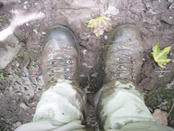
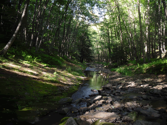
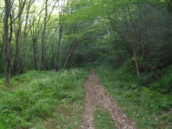
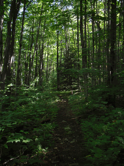
The Lumberjack Trail begins its slow ascent on the south-eastern rim of the Seneca Creek Canyon. It is an old railroad grade that was used back when the area was being logged, but now has been converted into a hiking trail. The benefit to starting in this direction is that the trail is an even and relatively easy upgrade (according to the trail descriptions that you read); however do not think that it is easy. Boulders the size of grape fruits are poised to trip you and very often you are slogging through ankle deep mud, but all in all it is a pleasant hike.
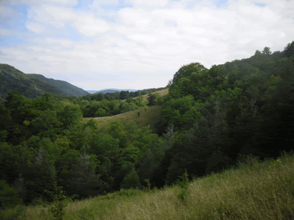
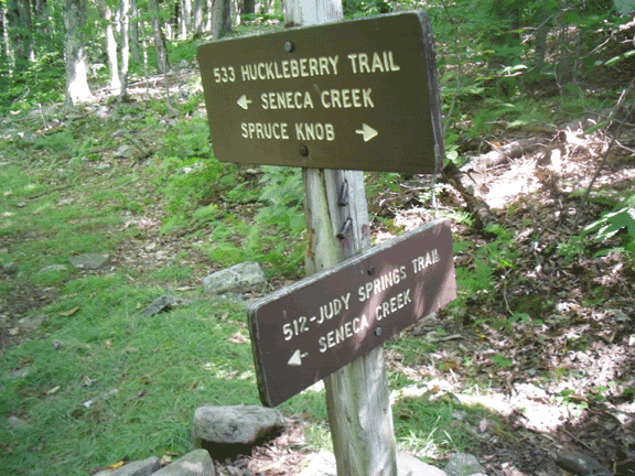
Eventually you cross the Huckleberry Trail, and if you stop to look at the trail map one quickly come to the conclusion that the people who printed these trail maps, including the USGS, don’t have a clue as to the correct name and order of the trails. However I knew that my eventual destination for the first day lay in the highest of a string of remote open meadows that I had read about in several descriptions of the exploration of High Meadows Cave and also other hikers who had been through the area.
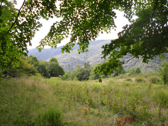
Five hours after we began from the trailhead we reached our final destination of the day, the first of the high meadows on the southern rim of Seneca Creek, which was somewhere in the thickness of the trees below. After quite a bit of walking around (which according to the Milling About Theory of Speleogenesis, must have created quite a sizeable cave somewhere below us), we finally set up camp, hoisted the food up into the trees above the reach of the omnipresent black bears which had been terrorizing hikers on nearby Dolly Sods and then set out to find a source of fresh water.
This area of West Virginia had been suffering from a drought for a while as I was peripherally aware, but it hadn’t quite registered at the time that we set off for what appeared to be a tributary of Seneca Creek once you reached the second meadow. I was also not quite prepared for the steepness of the descent as the faint trail seemed to take a near vertical descent down the mountain (much fun for Nori with her four-wheel drive, but as for the biped whose every fibre was screaming at it to sit down and stop moving, it was not quite as much fun). Upon reaching the tributary that we had spotted on the map and NOT finding water (if we had gone fifty feet further we would have I discovered on the next day), we began the agonizing ascent back to camp. We after all had enough water for canine and human alike to get us through until the next day which we planned to spend the second night at the established campsite at Seneca Falls.
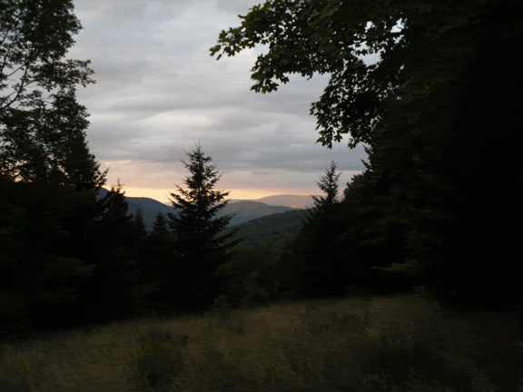
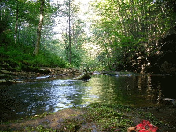
Sitting and watching the immensity of the sky turn from its milky blue to sapphire, and the long reaching rays of a failing sun while surrounded by the insect symphony and the occasional chirp of bedding birds and the mist rising up from the Seneca somewhere below like an eerie film…this will now forever be my vision of Eden. The constellations one by one crept through the fibre of nightfall, and when I finally expire, this is where I want my ashes spread in the infinity of it all. If there is a divine being, it has left its finger-print here where only time passes.
The next morning, the rising sun casting long shadows along the rim of the Seneca canyon woke us up with the choir of morning song-birds, and after boiling up just enough water to get us through breakfast, I broke camp with the moral support of Nori. We left our perch of the highest meadow to descend into the mute light of the forest and Seneca Creek.
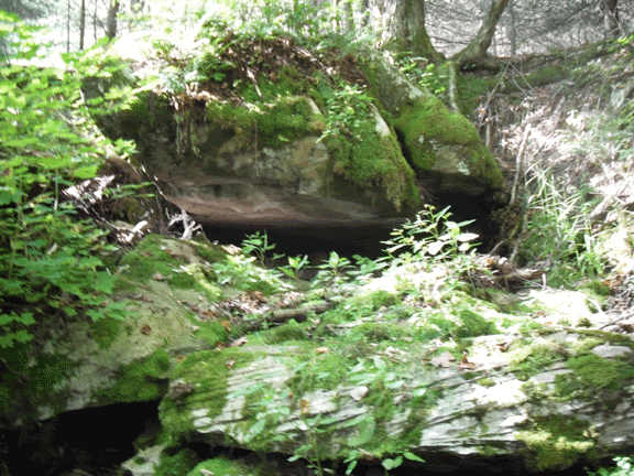
One by one, we passed through each meadow (as well as discovering the tributary to the Seneca that I was hoping would be a water source. It was after one of these meadows that I remembered that High Meadows Cave was nearby, supposedly the most remote cave in West Virginia, and finding the small stream, hitched Nori to a nearby tree and followed it down. I tool a nasty spill on a slick piece of limestone, found the little waterfall near the entrance and turned to find a non-descript crack under a boulder. There was no airflow, but after a little more poking around in the area, determined that this was it. There wasn’t any water flowing out of the entrance, indicating that there was a serious drought going on in the area. I didn’t enter the cave as it would break several of the cardinal rules of caving…never enter a cave alone, wear a helmet and always carry three sources of light.
I marked its GPS location (sorry, I will not share. I’m not being stingy, but it is very remote, hardly anyone travels this way so if you were to get into trouble it may take weeks to recover your body…hiking here is one thing, but to go caving here is something different entirely), and continued on my way to the next trail junction. Here is where my maps, compass and general sense of where I was heading failed me. This trail junction heads in two different directions, one goes uphill and the other leads northeast. Logic would dictate that the downhill direction would be the one to eventually lead you to the bottom of the gorge and to the river, but the arrow was pointing me the other direction, so I turned southwest and started the long trudge uphill.
The original plan was to stop the second day at the established campsite at the impressive Seneca Falls, build a fire and relax to the sound of biomass conversion from the fire pit and the babble of the river, but after two hours of continuing to trudge uphill I began to have my doubts that my goal was within reach. After a quick gander at the GPS (I am cheap, I don’t have the Garmin that displays the map) to get my elevation and some study of the topo map, I realized that I was heading right for Judy Spring, the largest sizable established campsite on the trail, and that I had left Seneca Falls behind. Running low on water, “Noodles” (Nori) and I couldn’t afford to backtrack, so on we went until we reached the open sunny campsite of Judy Spring.
Fortunately for us, the site lived up to its name. Not far from the nearest site, a trail lead off to a tributary of Seneca Creek, and at an impressive headwall, a stream comes gurgling out of a solutional crevice (again, indicating that there is a cave somewhere under the hillside. After amusing myself with trying to climb into the opening where the water rushes forth (and that water is COLD), I refilled our bottles and we returned to our site to set up camp, roll up the pant legs and enjoy the lazy afternoon.
At some point in the morning I woke to a noise outside of the tent. It was close. A sort of scratching sound through the tall grasses, and then I heard it actually rub up against the nylon wall of the tent. Nori was all balled up, shivering. I unzipped my sleeping bag and pulled her inside. It was, after all, around 41° F. She took in a deep breath and then sighed, and fell back asleep. I figured that if she wasn’t too concerned about the sound of whatever critter it was crawling around outside of the tent, then I shouldn’t either and I drifted back off to deep sleep to the melody of the Seneca, babbling away in the dark.
The morning fell heavy, leaving a veneer of dew on everything. The birds were hailing the rise of the sun as I rose and cooked breakfast. After a few more moments of waking up, I packed up camp for the last time, hoisted my pack onto my aching shoulders, hitched up Nori to my waist belt, and off we went, crossing the wooden foot bridge over the Seneca and started the slow ascent to the end of the trail.
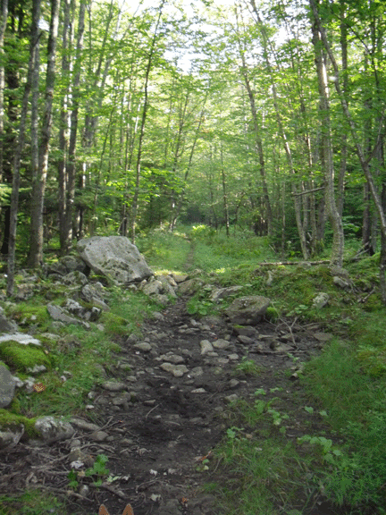
The end came abruptly, rudely interrupting the joy of walking. It started as a bright clearing ahead on the footpath, and then I saw the sullen hulk of my car, waiting like a dog that waits for the return of its partner. We had reached the end.
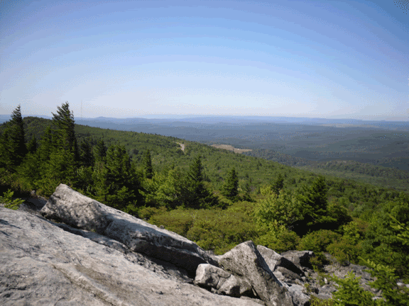
Returning to civilization, I decided to take us on a brief detour to the bald head of Spruce Knob; the last time I had been here was in January nearly twenty years ago with a friend from Junior High School. We had reached the summit of the highest point in West Virginia.
The Seneca Creek – Lumberjack Trail – Highmeadows Trail loop is in the Monongahela National Forest, and contains some of the most remote areas of Pendleton County. For more information, visit the Monongahela National Forest website. When travelling through the back-country, please follow all rules regarding campfires and follow the best practices of hiking in remote wilderness. Always tell someone where you are going and when you plan to return. Wear appropriate footwear and clothing. At these elevations the weather can be unpredictable, so come prepared to be dressed in layers and bring waterproof clothing, and take in the infinity of it all.