Wednesday, October 10, 2012

My Search for Floyd Collins


The gravel road, in itself, is very unremarkable.  It is unmarked as it branches away from Flint Ridge Road, and the gate is posted simply with "Do Not Block the Gate".  The temperature registered 106° F as we set off on foot, the car parked well out of the way of the gate.  The ice in my nalgene had already melted and the sun beat down cruelly...yup, this was going to be a long, hot walk.

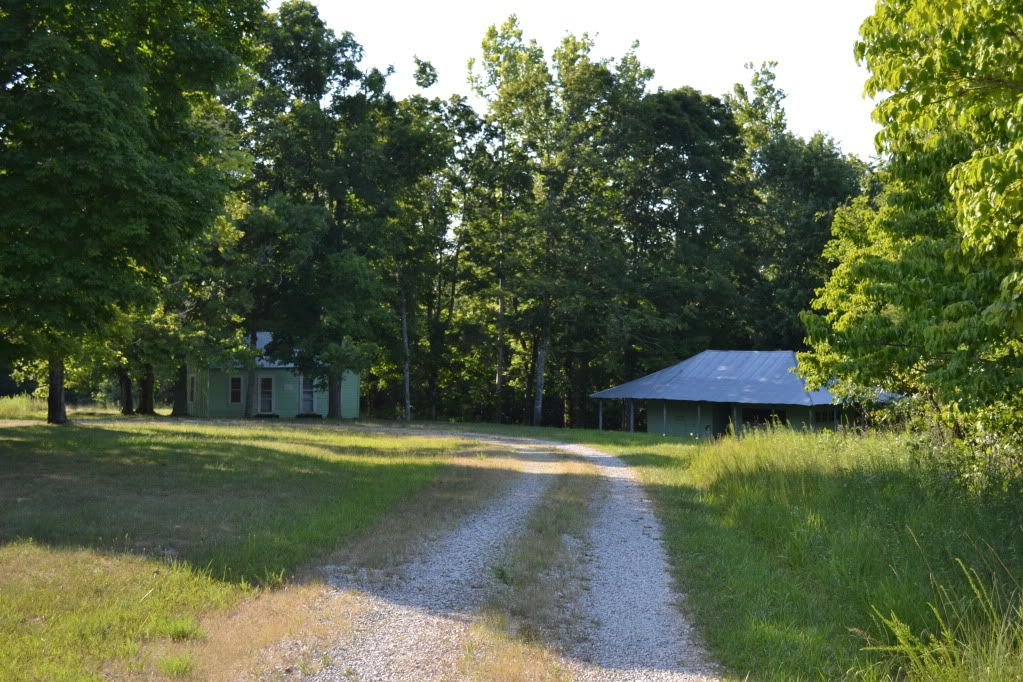
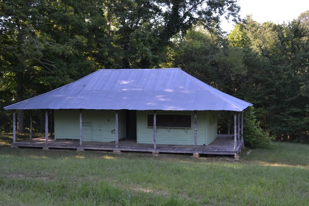
After about a mile and a bit of walking along the level road, two structures emerged in the grassy area in the woods and a broad smile wormed its way across my face.  "Well look at that, its the old ticket building and the old Collins' homestead!"  This is what I was hoping to see on this particular walk.  What brought us out here on the hottest day so far of the year to a rarely visited corner of the Mammoth Cave National Park in Kentucky? One man:  Floyd Collins.


First, just a touch of history.  West Virginia, Ohio and Kentucky all sit on some pretty significant coal resources.  There is a saying that America was built on Pennsylvania Steel and West Virginia Coal.  The area of Central Kentucky is not one of these areas.  The land is mostly farm country, and as is typical of the limestone belt, its not the best farming.  The soil is poor and thin, however it does produce caves and mighty long ones at that.  Mammoth Cave had been a tour venture after the War of 1812 with the British and soon several other caves opened for the adventuresome tourist...and as a tourist back then you had to have a sense of adventure in order to travel out there.  The roads were in rough shape... accommodations were scant.  Eventually a train was put in that would stop at the various caves and a series of grand hotels were constructed at Mammoth.  The last cave on the road was Crystal Cave discovered by Floyd Collins.  Many of these caves competed bitterly among each other in order to bring in visitors, often a gentleman referred to as a "capper" would hop onto your car on the rugged drive out to Mammoth and inform you that Mammoth had collapsed or was under quarantine (as an interesting side note, Mammoth was used at one time as a ward for people suffering from Consumption, now known as Tuberculosis) and would persuade you to visit some other cave instead.  This was the time of the Kentucky Cave Wars.
Floyd and his family operated Crystal Cave, where during the day Floyd and his brothers would give tours, but after hours Floyd would disappear into the mazey depths below.  Sometimes for days.  Usually alone.  This is against the current conventional wisdom of cavers today, but during the Cave Wars this was serious business;  if someone finds an entrance to your cave on their property there is nothing to prevent them from exploiting that entrance and making money off of your find.

In February of 1925 Floyd decided to take a gamble on an overhanging sandstone ledge that contained a small, already known cave on the property of  Bee Doyle.  This also happened to be the first cave one would see on the way from Cave City.  They had come to an agreement that the cave would become a commercial venture and that they would split the profits 50/50.  Floyd had already done some preliminary work with explosives and had gone in to clear out some rubble when, on his way out, he nudged some loose rock with his foot.  Rock shifted and he was unable to go any further.  He was trapped.  The next morning when Floyd had not returned home, his brother arrived and found him, unable to free him from the cave.  More people came, and soon he became a media sensation.  Floyd Collins is perhaps  the most famous person you have never heard of.  There was even a song written about his ordeals underground, and perhaps if your grandparents were around during the 1920's they may remember what happened or they may have the record of the infamous song. To put it in perspective, over a period of 17 days, over 10,000 people crowded into the fields surrounding Sand Cave.  Many of the local families put up out-of-towners, for a small fee, and there was money to be made selling food and a mysterious clear liquid that was distilled only by the light of the moon.
During the rescue efforts the passage leading to Floyd collapsed and no one was able to get food to him or report on his condition.  Two mining and well companies were brought in to compete for digging a parallel shaft in attempts to dig in below him to extract Floyd and return him to the light of day.  After some misfortunes with that endevour, they were finally able to dig a shaft in and they found his lifeless body on the seventeenth day of his entrapment.  Floyd lost his battle with Sand Cave.  The visitors left, the hillside resembling a field after trench warfare and silence returned to the Kentucky hills. His body was finally removed by a group of coal miners and he was later buried in Crystal Cave for a time, and soon after Mammoth Cave was adopted as a National Park, eventually acquiring the property that contained Sand Cave and after many decades, eventually the Collins' Homestead and Crystal Cave.

I had become familiar with the story of Floyd, as many cavers have, since his is a cautionary tale of caving alone and the mishaps that can happen.  I even read the book Trapped! by Robert Murray and Roger Brucker which gives a fairly detailed account of the events before, during and after Floyd's demise.  I learned of "Skeets" Miller, a reporter, who had brass balls and perhaps spent the largest amount of time with Floyd during his entrapment, and of the fact that people had failed to notice a small side fissure that led down to a space under Floyd where the rock that trapped his leg could have been lifted and Floyd would have been rescued.  And perhaps the most appalling thing was the large amount of food tins stuffed into cracks of the passage and were never passed through the collapse to the weakening caver starving below.
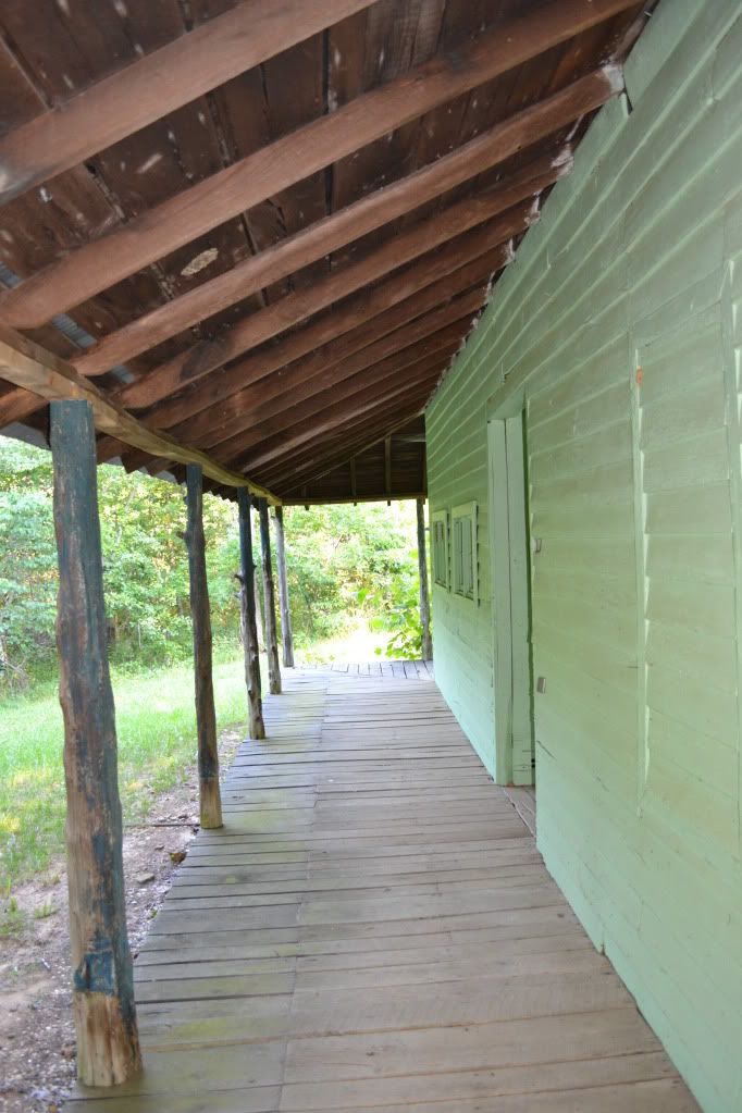
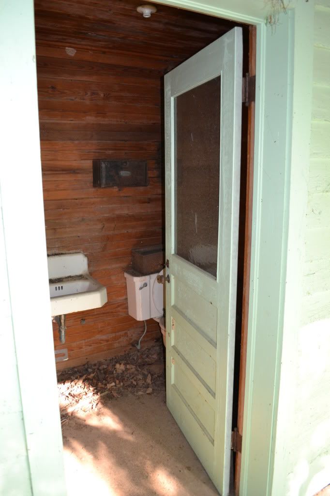
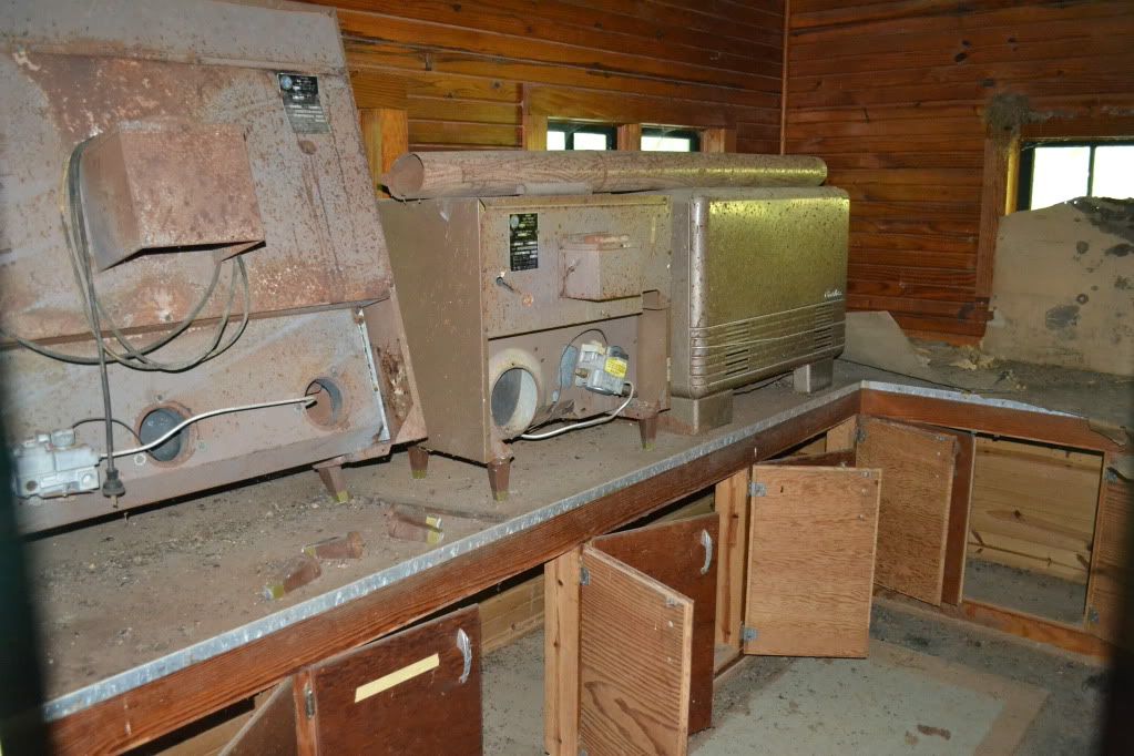
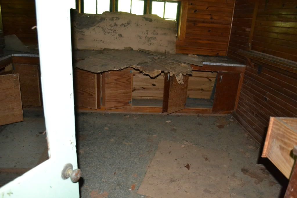


Upon arrival at the Collin's Homestead we first had to check out the ticket building.  Though the windows were shuttered the doors were wide open.  I poked into the ticketing office and quickly made a retreat...something in there smelled dead.  Very very dead.  In the dim light filtering through there appeared to be a couple odd looking bits of unidentifiable equipment and an old mattress on the floor.  Further around the other portion of the building were long out of use toilets.  Next we pressed our noses against the window glass of the house itself.  It is hard to imagine that a house of this size, only three or four rooms, once held 10 inhabitants.
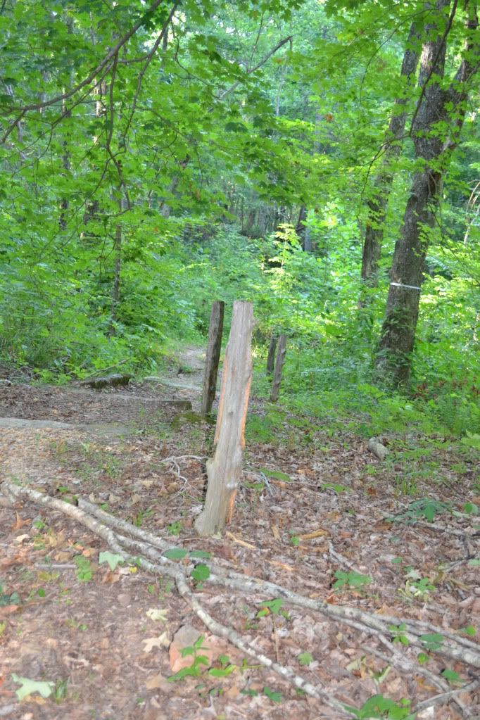

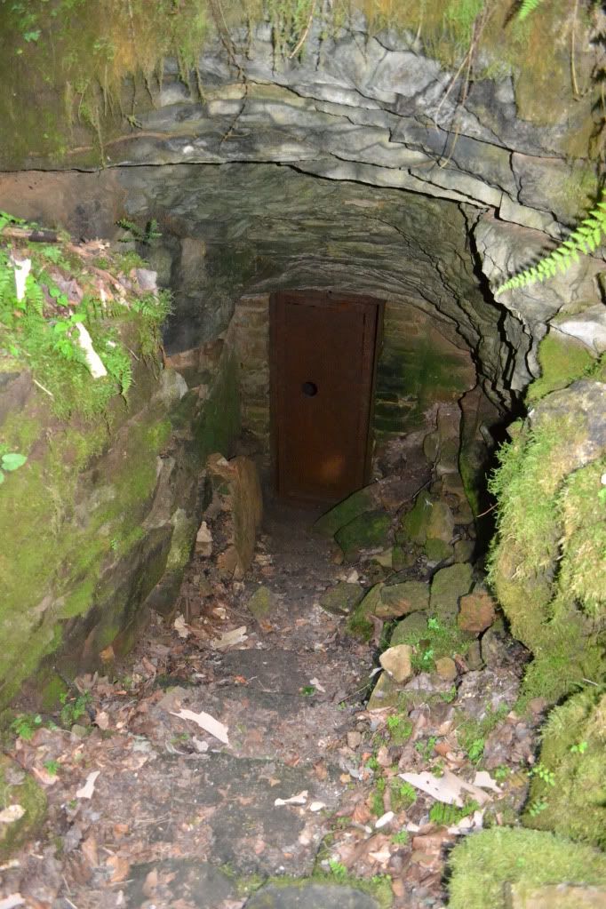
Between the house and the ticket building was a well worn trail leading down a hill.  This was definitely the trail down to the entrance of Crystal Cave.  The handrails are now gone, only a few of the supporting uprights exist now.  Th trail rounds the corner, and something very out of place confronts you...a red warning sign explaining that the cave is not to be entered.  We were not going to enter the cave however.  Aside from trespassing, it would be fruitless since we didn't bring any  gear.  The path continues down steps through some very beautiful ferns and columbine until we saw the quiet open mouth of the cave.  A few feet beyond where it starts to get dark is a steel door that halts further progress into the cave.

Amazing to think that in the not so distant past, this was the starting point for another epic journey that has been largely forgotten except by the caving community.  For, through that steel gated portal, many generations of cavers followed Floyd down the Valley of Decision to the Devil's Kitchen, left though the Gypsum Route to the Scotchman's Trap to where the cave REALLY begins, eventually leading through the bowels of Flint Ridge to the surrounding caves an eventually connecting to Mammoth Cave, making the Mammoth Cave-Flint Ridge-Joppa Ridge System the longest cave in the world.
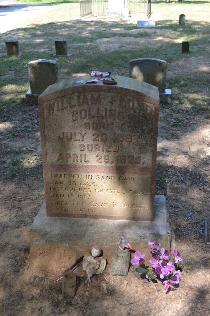


Floyd's Body was eventually laid to rest at the Flint Ridge Cemetery after having been on display in the cave he discovered, kidnapped from the cave he discovered and found tossed over a hill, re-interred in the cave and later put to rest next to his father and birth mother.  The headstone is remarkable for several reasons: the granite headstone is the original that was placed in the cave when he was buried, and secondly because it is lacking a date of death (post comments with what you think might be the reason for this).  When visiting the grave it has become customary for cavers to leave behind a small token of some sort.  I placed a Snickers bar on his grave which I am sure melted immediately in the 100° F + weather.  Just a little something for you there Floyd.


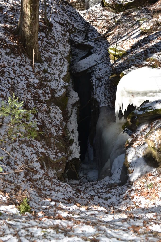
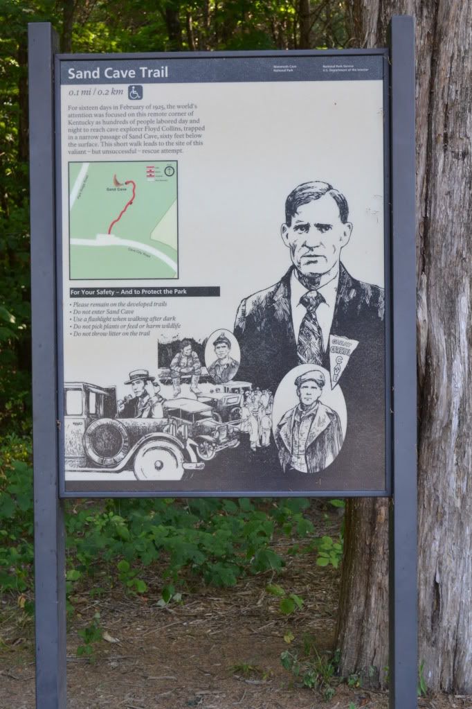
After visiting with Floyd we drove out to Sand Cave which is right at the Entrance to the Park.  The walk is wheelchair accessible via a boardwalk and is a pleasant walk through the wood.  The walk ends at a platform situated above the solemn and damp entrance to Sand Cave.  It is here that men laboured around the clock to save Floyd from the narrow passages below.  A faint path leads off the end of the boardwalk, over the upper edge of the entrance and then down natural steps to the entrance (this is off the official path, so stepping off is you assuming the risk of doing so).  My price of admission was the garbage I picked up along the way.  I took a moment standing in the summer light, the sound of water dripping from a hidden passage under the ledge above.
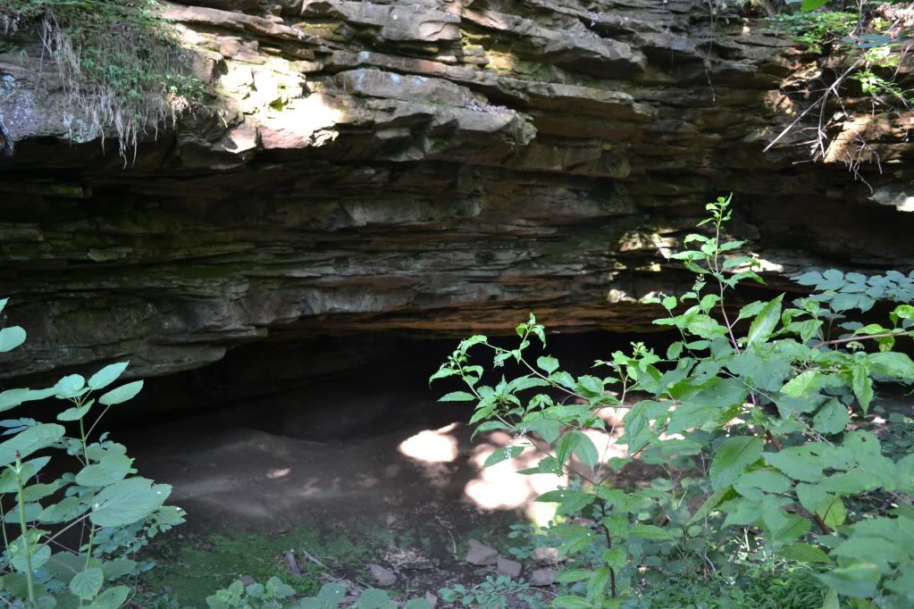


I would have stayed longer, but my scheduled tour for the Violet City Lantern Tour was about to begin.  It would prove to be one the the highlights of my trip to Mammoth Cave, so if you ever get the chance, I highly recommend the tour.  I also recommend taking the time to visit Sand Cave and the Flint Ridge Cemetery.  They are both very accessible pieces of history that has been largely forgotten by modern times, but back in the mid to late 1920's this was a story that was known well throughout the United States.

The song, performed by Vernon Dalhart is "The Death of Floyd Collins", is another piece of Americana that is not to be missed.

Please visit the website for more information about Mammoth Cave National Park, which is open year round for cavern tours.  Keep in mind that the tour schedule varies by season and during the busier times of the year tours can fill up very quickly, so online  reservations are recommended.  Solid and comfortable footwear is highly recommended as well as a sweatshirt or hoodie.  Walking to the Historic Entrance is surprisingly cool and windy...afterall, there are over 390 miles mapped of the known cave, that's a of air that moves when the weather changes.  Prices vary depending upon tours, but incredibly reasonable in comparison to the privately owned commercial caves.



Saturday, May 26, 2012

Lacklustre Experience with Bardo Farm


Tucked away in Croyden, an experiment has been unfolding for several years.  Labelled the Bardo Project, this small collective is not only an experiment in self-sustaining agro-business but also a social experiment.  While attending the Northeastern Regional Organization of the NSS (National Speleological Society) Spring gathering, the catered buffet of a Pig Roast was provided by the Bardo Project.  We were one of the last groups to return from our caving adventures, and over heaping plates covered in stuffing and organically raised roasted pig cooked to perfection, we chatted up the folks from the farm.  In between mouth fulls, we were told about the yearly farm festival taking place in Croyden over Memorial Day Weekend and invited to attend.  Being one to support local business, how could I resist?


After a hassle-free on-line reservation the night before, Heidi and I arrived at Bardo Farm around 10:45 am.  The folks at the registration booth were super nice and informative, and gave an over view of the events of the day, and explained that the farm festival actually covers four days, starting Friday night.  Following the map, we found plenty of parking and the main event area just as some Tom Waits was blaring over the PA (I was beginning to think that this was my kind of event!  Organically raised food AND Tom Waits...I was sure I was in heaven). Dee and I looked over today's list of events which included: Piglet Castration, Forestry Management, Raising Pigs, Pig Harvest, Wilderness Survival: Shelter Building, Solar and Off-the-Grid Energy to name a few.


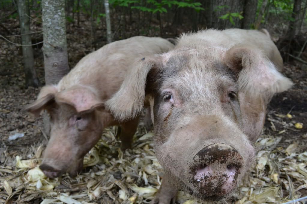
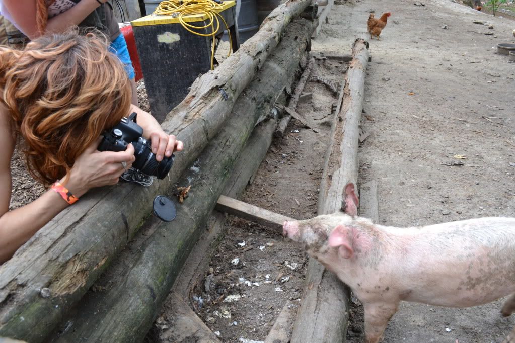
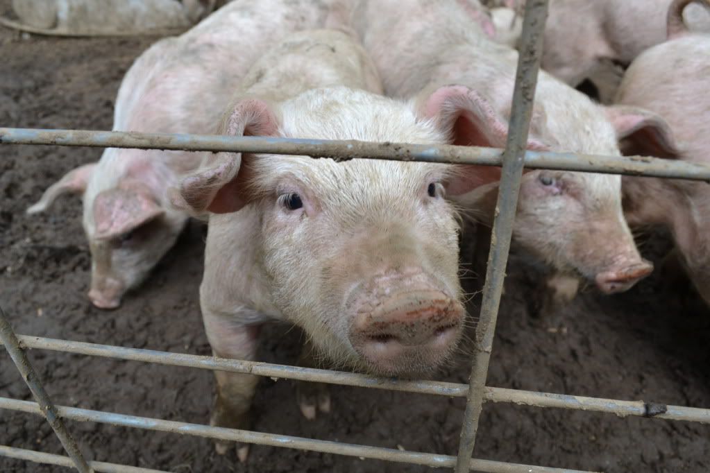
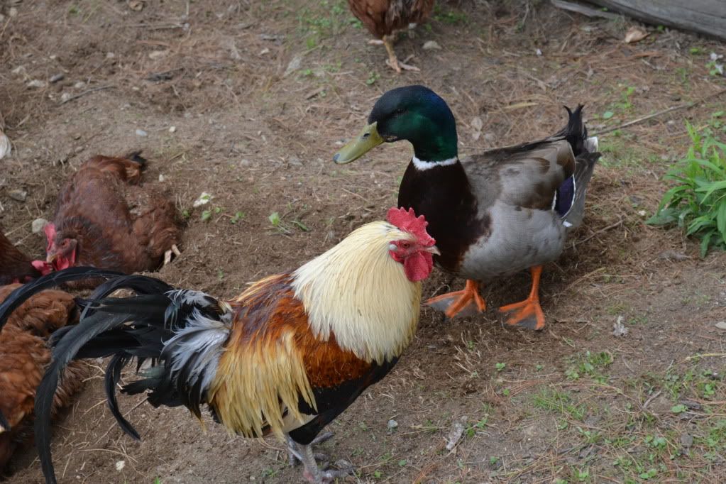
After Realizing that we had quite some time to kill before the Shelter Building Workshop, we decided to go and check out the animals since they were pretty central to the events of the entire weekend.  Ok, so a few things that we learned:  1)Yes pigs smell, 2) I don't care what anyone says, piglets are just so damned cute, 3)chickens and ducks get along just fine, 4) Piglets like paparazzi, 5)to become best friends with a goat, feed it dandelions.


 After getting our fill of the animal fun, we wound our way back to the event area and attended a meeting of SOLE (Society of Libertarian Entrepreneurs).  This is where we discovered the more political side of the Bardo Project.  Now, I am by no means supporting nor condemning a particular political party...as someone who claims themselves independent of any particular political creed I could not since I firmly believe people are entitled to their own opinions and it is not for me to judge.


An announcement came over the PA informing everyone of the events starting at one o'clock.  This included Reloading (ammo) and the Wilderness Survival: Shelter Building Workshop.  Dee and I assembled at the appropriate area which happened to be where the reloading workshop was also meeting, and this is where things just fell apart for us.  The gentleman doing the reloading demo asked us which event we were waiting for, after after telling him it was the shelter workshop, he winced and then proceeded to completely ignore us, a Pied-Piper leading off a hand full of people without a word whether or not someone was coming to lead the other workshop.  We stood and waited for a bit, and finally realizing no-one was coming, we went home.

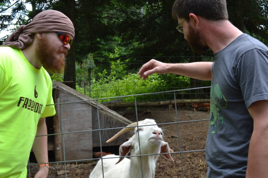
The event was generally not well organized.  Aside from the people at the registration booth, the only person who even made an attempt to converse with us was a red-haired gentleman at the goat pen.  Few attempts at conversation were made.  We were definitely the outsiders here.  This is in stark contrast with the statement made by one of the registration hosts which was to the effect that the people at the farm are accepting of just about everyone.

The most meaningful experience we had was with a couple who were also leaving.  They were visiting the farm with their infant.  We grumbled about our experience with the farm, and mentioned that we have eventual plans to homestead...raising our own animals and produce to sustain ourselves and barter with our friends and neighbours, and they said that they had the same goal.  After talking with them for a few moments we learned that they are trying to sell their home in NYC to move to New Hampshire, but they want to be close to Manchester and Concord as well as an easy commute back to the city since the husband has a strong sense of activism.  Finally, a genuine conversation with folks who were there for the same reason as us introduced themselves, shook our hands and took the time to find out a little bit of what we were about.

Its a shame that this was our experience with Bardo.  It seems like an interesting idea, and movements such as a social and agro-collective is something that, no matter what their political creed, I fully support.  Had our experience with Bardo been on more of a one-on-one basis, it would likely have been better.  Also, bear in mind that this is the second or third year that the Farm Festival has taken place and the attendance apparently was not as good as expected.  I'll give Bardo Farmfestival 2013 a shot.

For more information about Bardo Farm please visit their website: http://bardo.drupalgardens

Tuesday, February 28, 2012

The Hunt for Punkintown


Nestled in a quite corner of southern Maine, near York Pond was a tiny town that during its height had 30 to 40 residents...about 10 families in all between the early 1800's and early 1900's.  The last recollected resident, a woman nicknamed "Cross-eyed Emma Jane" was seen occasionally selling vegetables in the nearby town of South Berwick as late as 1960.  Much is not known about Punkintown, though there are some sketchy historical records that indicate a grist mill from the 1700's operated in the area, and that the town had its own granite quarry (and in fact, there are several granite quarries).

The demise of the town however began in the early 1900's.  According to one record, a house fire in 1916 wiped out one house and the surrounding trees.  Shortly thereafter, a tuberculosis outbreak in 1922 helped decrease the population and the last of the old houses burnt in the same year.

Beyond these few historical facts I have been unable to find out any additional information on the town, besides a very, and the emphasis is on VERY, vague descriptions on where it is.  I was first told about the town by a couple beighbour ladies down the street who have been there, so armed with the shady details on location, Heidi and I have been hunting for Punkintown ever since.
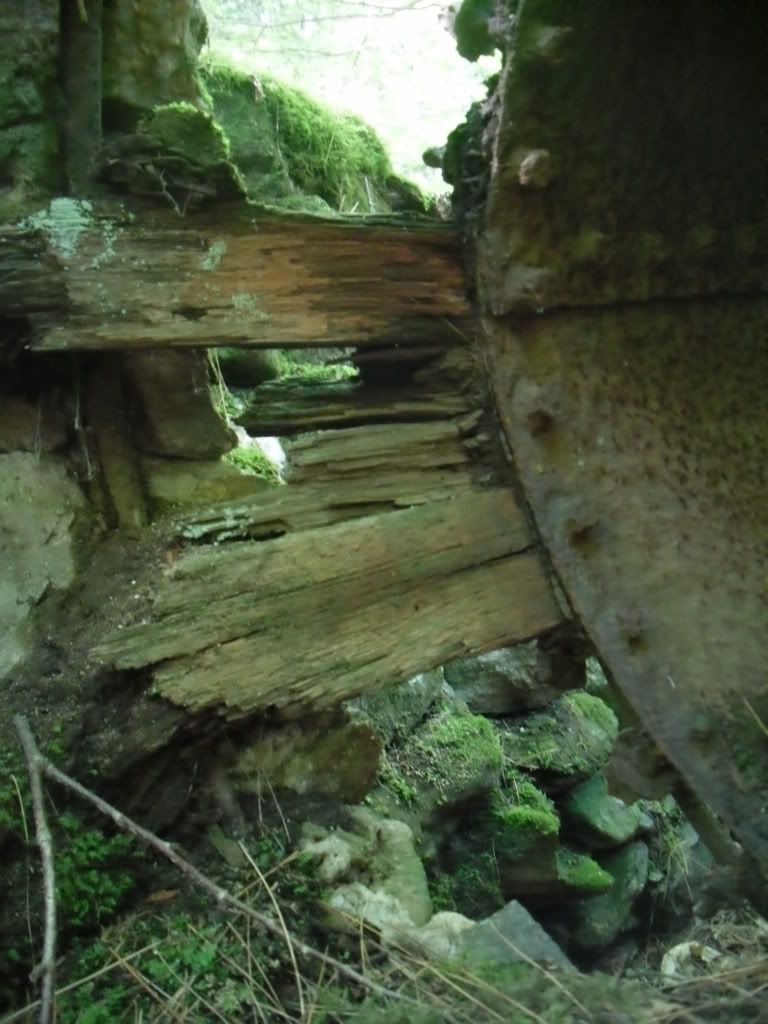
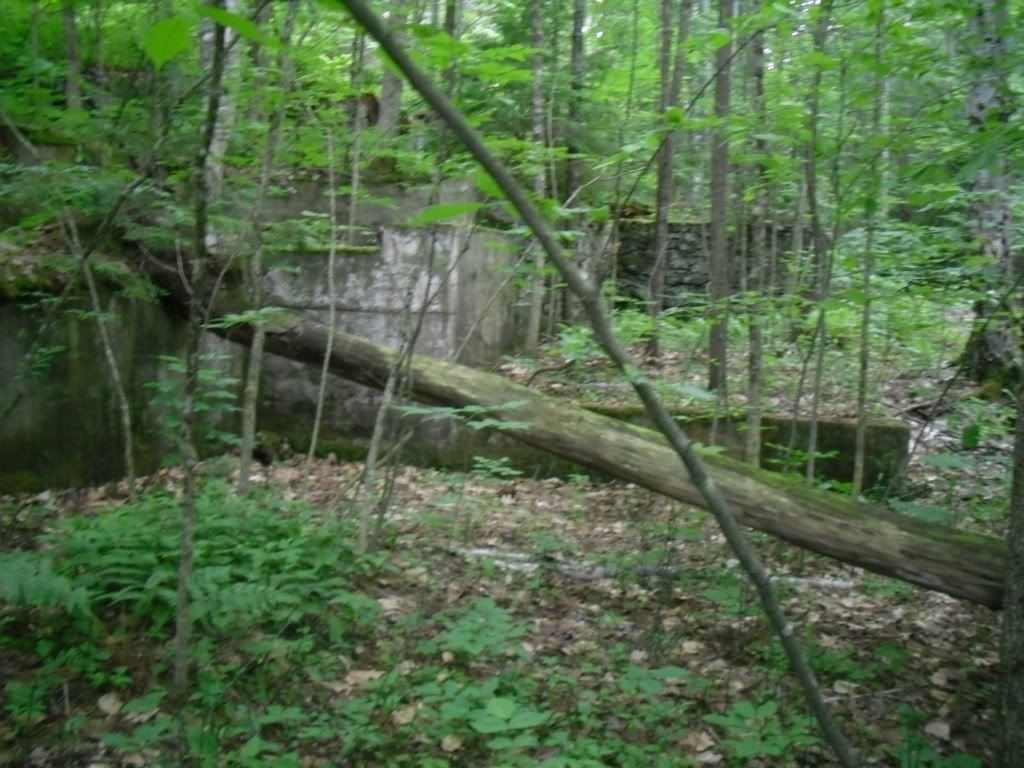
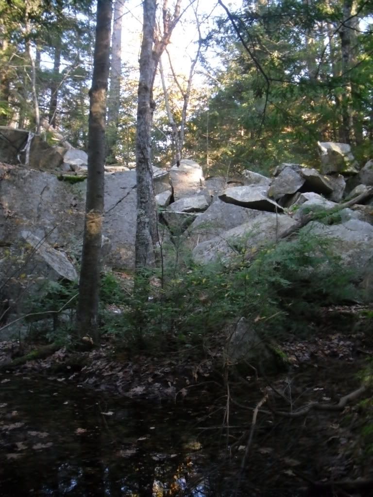
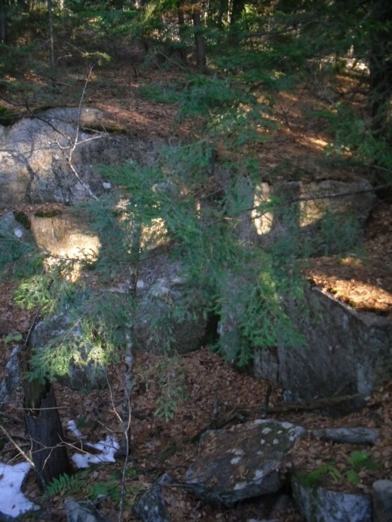
Our first excursion to the site did not yield much.  There is a road/ATV trail that serves as your trail to the top of the hill.  We found mostly old stone walls and only one quarry, but according to the scant online resources we found, we had hardly scratched the surface of what is there.

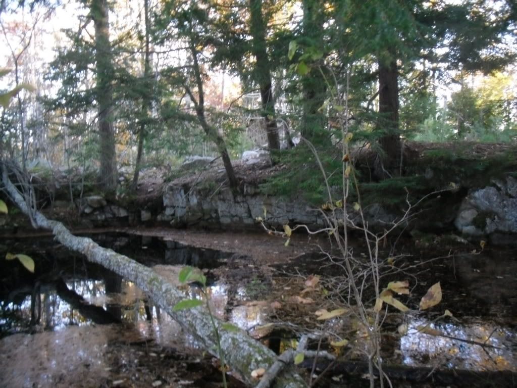
Our second attempt was a touch more fruitful.  We found several granite quarries, many filled with water, and most covered by secondary growth to the point that it was hard to identify features.  We tried several of the other paths available, discovering much to our dismay that we had passed within feet of the largest granite quarry on our initial exploration.

There is still much to find.  After researching the area and using one of the best tools ever, Google Earth, we have identified old foundations of what appear to be homes.  After the weather thaws we will be right back at it before the undergrowth kicks in, and hopefully we can post more comprehensive documentation.

But in the meantime, here is a small gallery of the features we have found.


Monday, February 27, 2012

How Cavers and a Commercial Cave Came Together to Help a Community


August of 2011 Hurricane Irene brought devastation in her wake throughout the eastern United States, but perhaps no other place experienced as much damage as the states of New York and Vermont where covered bridges over a century old were wiped out, towns nearly erased from the map and thousands of people were left homeless, many without financial recourse from insurance companies and assistance from federal agencies.  Now, over five months later, many towns and residents are struggling to recover.


(image from Cornelle University Cooperative Extension Emergency Preparedness website)

Schoharie County in New York, one of the areas hit heavily by Irene and Lee, is known for its beauty, rich farmland, and to many cavers in the northeast, holds some of the most significant cave systems in the area.  Cavers became a valuable resource assisting in rescues and clean-up efforts.  Its the least that they could do to repay the generosity and hospitality of a community that many cavers have come to know well.  Countless hours spent in clean-up and recovery, thousands of dollars raised, and more is still needed.


An idea was birthed by a member of the Boston Grotto, Northeast Cave Conservancy and Howe Caverns to provide the opportunity for a number of cavers to enter a section of Howe Caverns that is not frequented by the general public or people who go on their wild-cave Mystery Tour (that gives people the opportunity to visit the Colossal Dome, a feature that is 104 feet tall and ending before a segment of cave called the Lake of Mystery).  Beyond the lake are several hundred feet of passage requiring a wetsuit in order to brave the 42° F water and to explore an area beyond that has been poorly mapped and not documented in photographs.  The price of admission...a donation that all proceeds raised would be donated to the Schoharie County Community Action Program to assist with flood relief.

I was fortunate enough to get on the list of people to attend the trip that took place on February 25th, 2012. Our main goal was to raise at least $1000 dollars for the Schoharie County Community Action Program and supporting a community that had already shared so much with us; our secondary mission was to pass the Lake of Mystery and then map and document for Howe Caverns, the series of passages, formations and streams beyond.

My girlfriend Heidi and I left our New Hampshire home around three o'clock and started our five + hour drive to Cobleskill, NY for what was sure to be a great adventure.  The weather much of the way was not too bad until around 6:00 PM when we crossed the border into New York that the weather began to turn grim.  But, after arriving in Cobleskill and eating at perhaps the only Arby's not to have been renovated to keep up with the modern era, we settled in at the Howes Caverns Motel for what turned out to be a fitful night's sleep as Winter was passing through, reminding us that though things have been calm weather-wise, it isn't done with us quite yet.

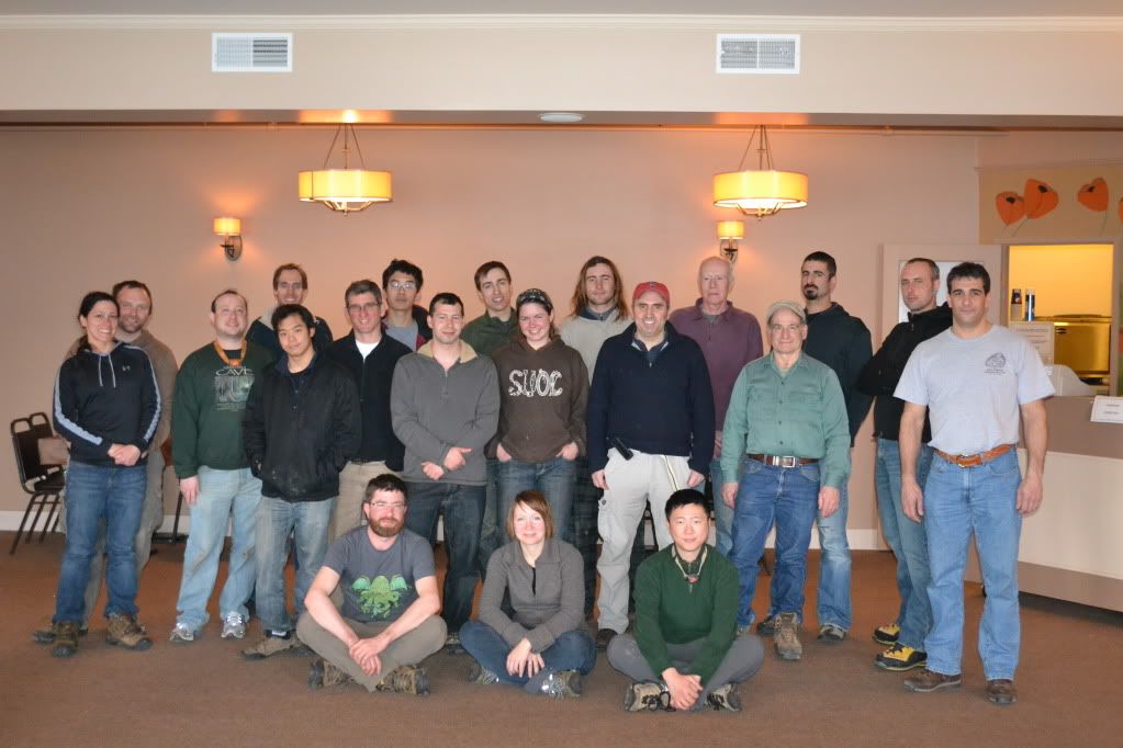
The next morning, after double checking my photo gear and make sure my bin was packed, we arrived at the caverns lobby which was already filling up with bins of gear, cavers, reporters and their camera crew.  Many were cavers that had not seen each other for a few years, others were well seasoned friendships and then there were the new folks that I didn't recognize either by name or face.

Members of the Howe Caverns trip
by J. DeGroff

At around 10:00 we piled into elevators and were taken down to the beginning point of the tour, directed down a tunnel and then arrived at the Mystery Passage located at the end of the Winding Way.  While everyone was suiting up a local television crew interviewed several members of our team as to what were were expecting, what were our motivations for going and who we were there to help.  After everyone was suited up we started off through Fat Man's Misery for the far flung recesses of the Reynold's River.

Click the link above for the segment filmed by YNN and a view of the red-beard of yours truly (lol).

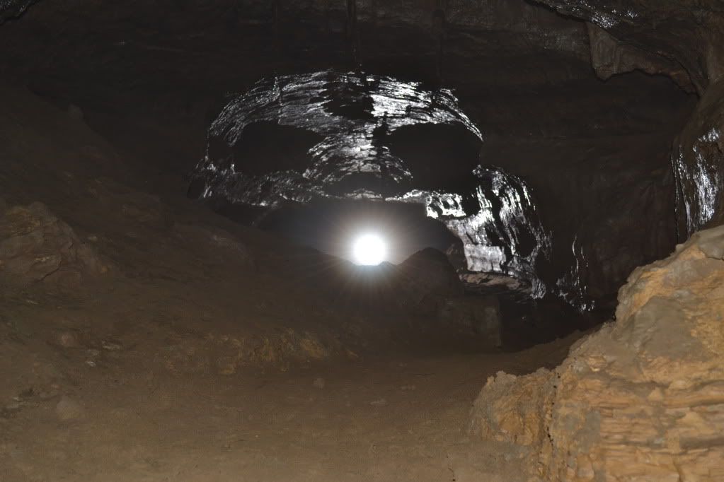
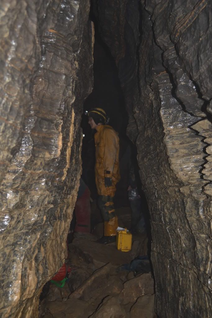
From Fat Man's Misery to the Colossal Dome is the section called the Mystery Passage that tourists, for an extra fee, can enter a non-developed section of cave through a mostly hands and knees crawl to a bear-cawl and then eventual walking passage up to the Great Rotunda, a really impressive feature that extends 104 feet in height.  From here we were to enter the wet section of the cave.  I was the fourth person in line and by the time the water hit my chest I had to back out in order to catch it.  If you have never dunked yourself into 42° F water before, your first reaction is to hyperventilate.  I caught it finally, re-entered the water and was waiting to push ahead.  Ahead of me was Mike Chu and Dave Crusoe.  Both were reporting back that the way had a VERY low airspace and they were alternating trying to push through using a technique that I term 'lip-snorkeling'...lay on our back feet first and push your nose and lips to the ceiling.  A few minutes later they returned, very chilled and reporting that they were not quite comfortable pushing ahead.  A little later two other members of the team pushed ahead...and later returned with similar results.  We returned to the Great Rotunda a little disheartened, it appeared after-all that the hurricane that we were trying to help a community defeat had in-fact defeated us.


Mystery Passage
by A. Tester


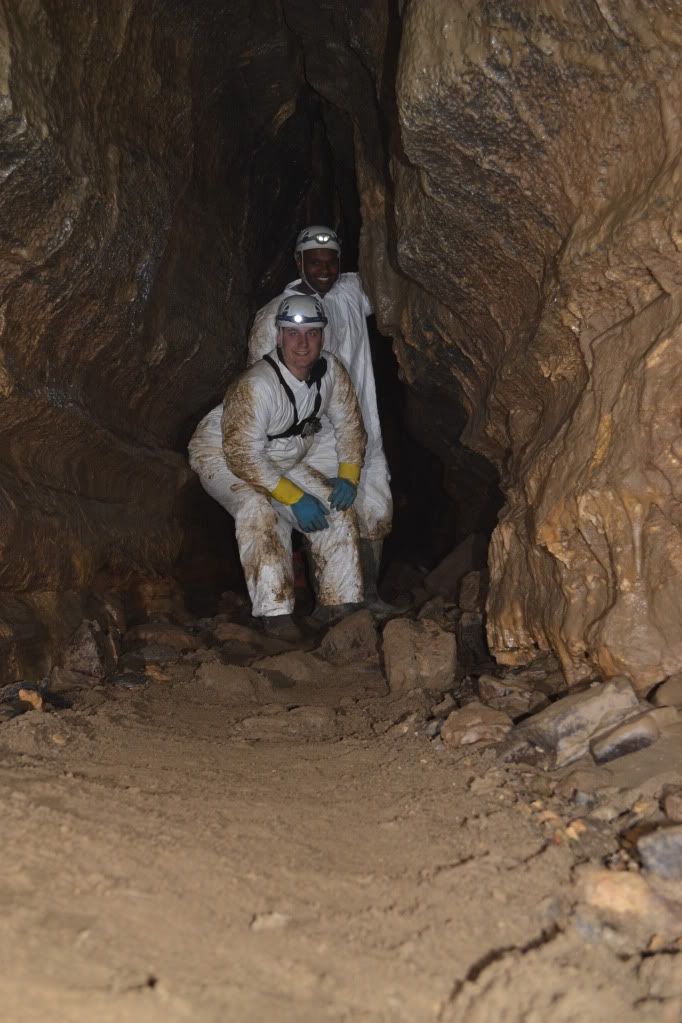
Mike Chu standing just inside of the Great Rotunda
by A. Tester

 While everyone had a few tense moments (meaning an hour and fifteen minutes) waiting for word from the two cavers who managed to get through the low airspace, I returned to the passage leading to the Great Rotunda to take some pictures.  At this point I discovered that one of my flashes and slave units were completely swamped!  So down one flash, I set up what I could.  Afterward I returned to the Dome to get the scoop one what was going on with the cavers beyond the low-airspace and then slowly returned to the surface.


Members of the YNN camera crew from Chanel 6 Albany
by A. Tester

By two o'clock the two cavers beyond the low airspace before Mystery Lake were accounted for, and everyone had returned to the surface.  No one was disappointed by the fact that we didn't get to the passages in the Reynold's River section.  After all, the reason why we came together to this place was to raise money and to raise awareness of the plight of Schoharie County.  So, though the in-cave goal of mapping and photography didn't happen, we did raise over $2000 for the SCCAP!!!!


The Winding Way
by A. Tester

Our Hosts, Howe Caverns treated us to an awesome dinner and then we were lead on a tour of the cave by Jeff DeGroff, one of the coordinators of the event after which many of us said our goodbye and headed home.


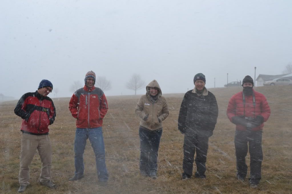
Members of the Boston Grotto in a snow squall
by A. Tester 

Since Dee and I don't make it out this way too often we took the following morning to visit the NSS (National Speleological Society) property for the McFail's Cave Preserve.  The cave is currently closed for the hibernating bat population, but one can visit the above ground portion which has many striking karst features where streams just disappear into massive fissures in the ground.


All in all it was an amazing trip.  Perhaps one day we'll get word that the water levels have dropped enough to permit us to map and document the far reaches of Howe Caverns, but until then there is a lot of work still to be done in Schoharie and the surrounding counties.  If you are interested in either volunteering with or donating to the Schoharie County Community Action Program, please visit their website.  There are also many other communities throughout New York and Vermont that could use the help too.  If you are also interested in see what caving is all about, please visit www.caves.org to search for your nearest grotto.

Wednesday, November 16, 2011

Knick-a-Weet-a-Who?


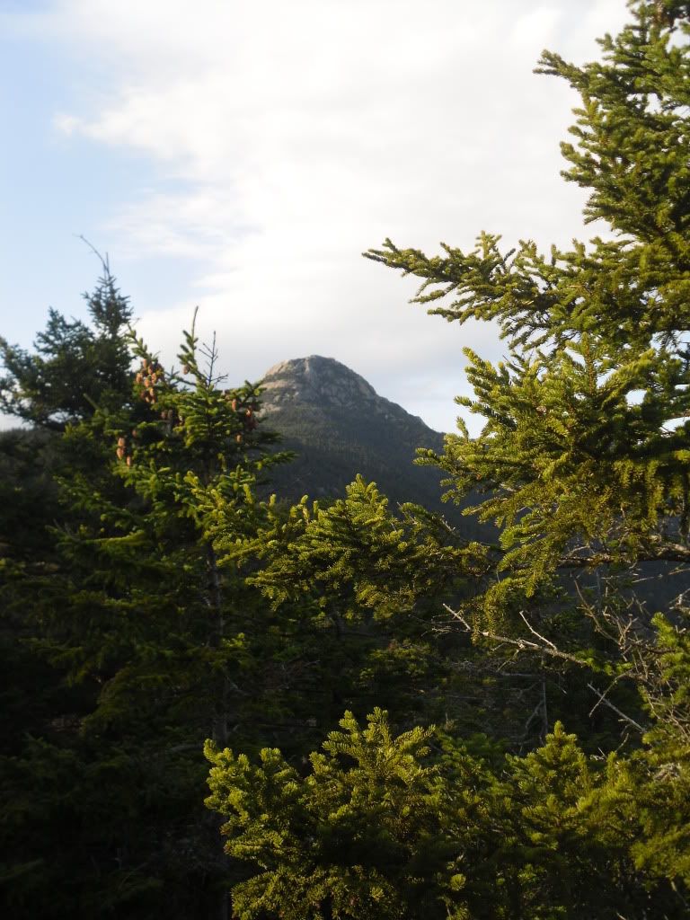
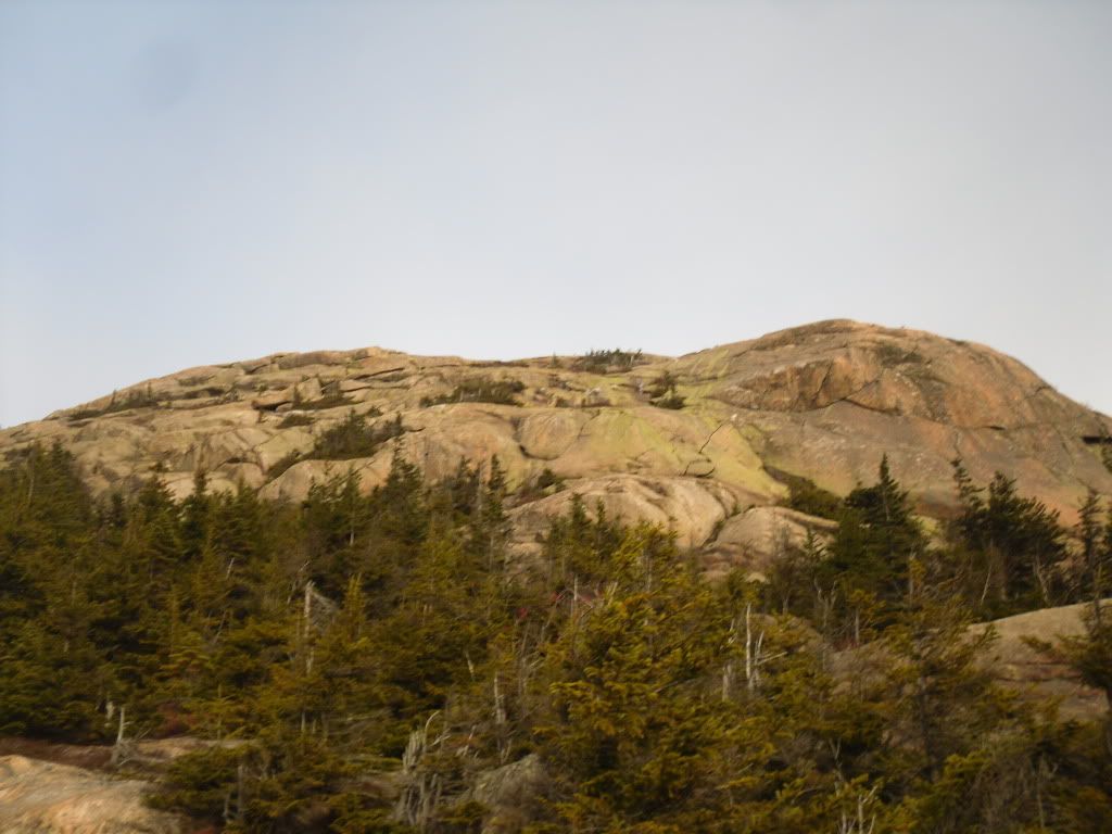
Mt Chocorua is one of a very small hand-full of mountains in the state of New Hampshire that has a bald peak but still has an elevation below 4,000 feet.  It is likely one of the most recognizable mountains in the state, and according to the AMC guide books it is one of the most photographed mountains in the world.


I have been living in the state now since 2000 and many a time I have driven past the picturesque bald cone of Chocorua and the Lake at his feet, and often I had thought that it looks like it would make for an awesome hike.  So when my girlfriend had mentioned that it is one of her yearly pilgrimages I finally realized that I would finally have my chance.  I mentioned this to a co-worker and found out that it was one of his yearly pilgrimages too, and next thing you know we had three of us planning our next adventure to the summit.

After a few false starts due to weather and circumstance, finally on November 12 we arrived at the trail-head of the Piper Trail, named after the farm that the trail cuts through, and began our ascent around 7:30 AM.  My friend Matt had suggested that we take the lesser traveled route (sometimes it ended up being the never-traveled route), and we has planned to make a giant loop out of the day, covering somewhere around 12 miles, but only retracing our steps for less than 1.6 miles of the trails.


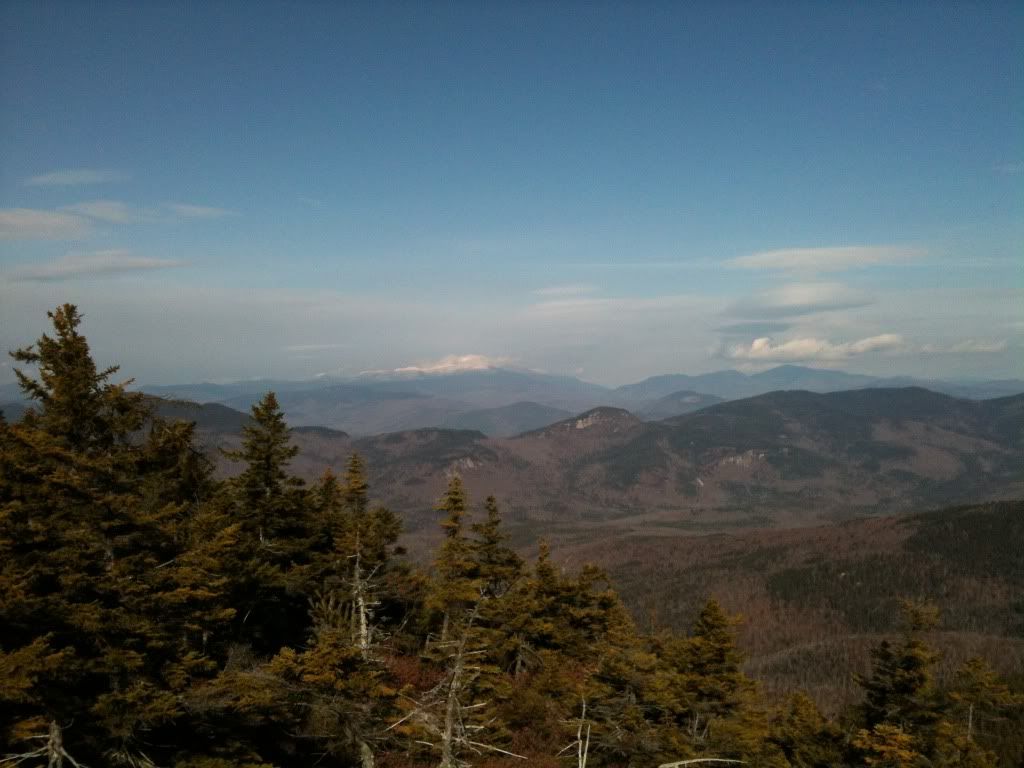
The morning was freezing but the sky was going to be clear, so the views from the bald summit were going to be impressive (and I have to admit, this has quickly become one of my favourite hikes).  The Piper is a very gradual and easy trail for the first .6 miles until we reached the Nickerson Ledge Trail which takes a very steep ascent to the first of three peaks called the Three Sisters.  It was also about here that we ran into three backpackers who had set up an illegal campsite, but until we joined back up with the Piper Trail on our way to the true summit, we did not see another soul.  It was from a top the first peak of the Three Sisters that we caught our first glimpse of Mt Washington and the other Presidentials shimmering brightly in the distance.


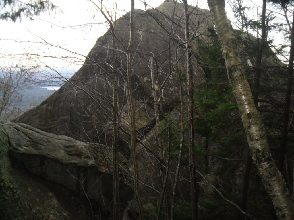
From here we picked up the Carter Ledge Trail, which happened to be a very gentle ridgewalk that takes you through tall thick forest until you reach your ascent on Middle Sister Trail to the peak of the Middle Sister.  Once attaining the peak of the Middle Sister you get some really excellent views of the false peak and the true peak of Chocorua.


We visited the weather station at the top, caught a quick snack before we continued on to the mail goal looming darkly ahead.


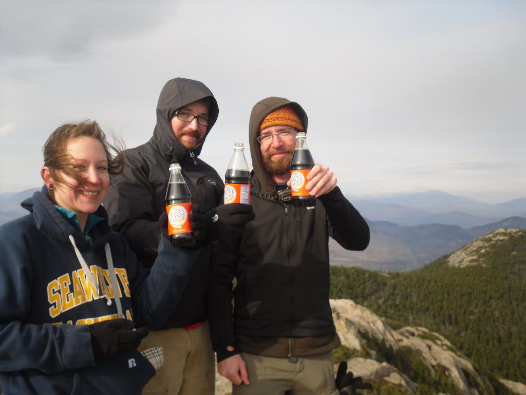
The peak was reached somewhere around 1:30 PM.  Significant because we had covered a decent amount of ground of fairly difficult trail in a short amount of time, but also because we had to book it as quickly as possible if we wanted to arrive back at the car in time for sundown.  We paused to take in the view from the summit, have a celebratory Moxie and then prepared to begin the trek down.


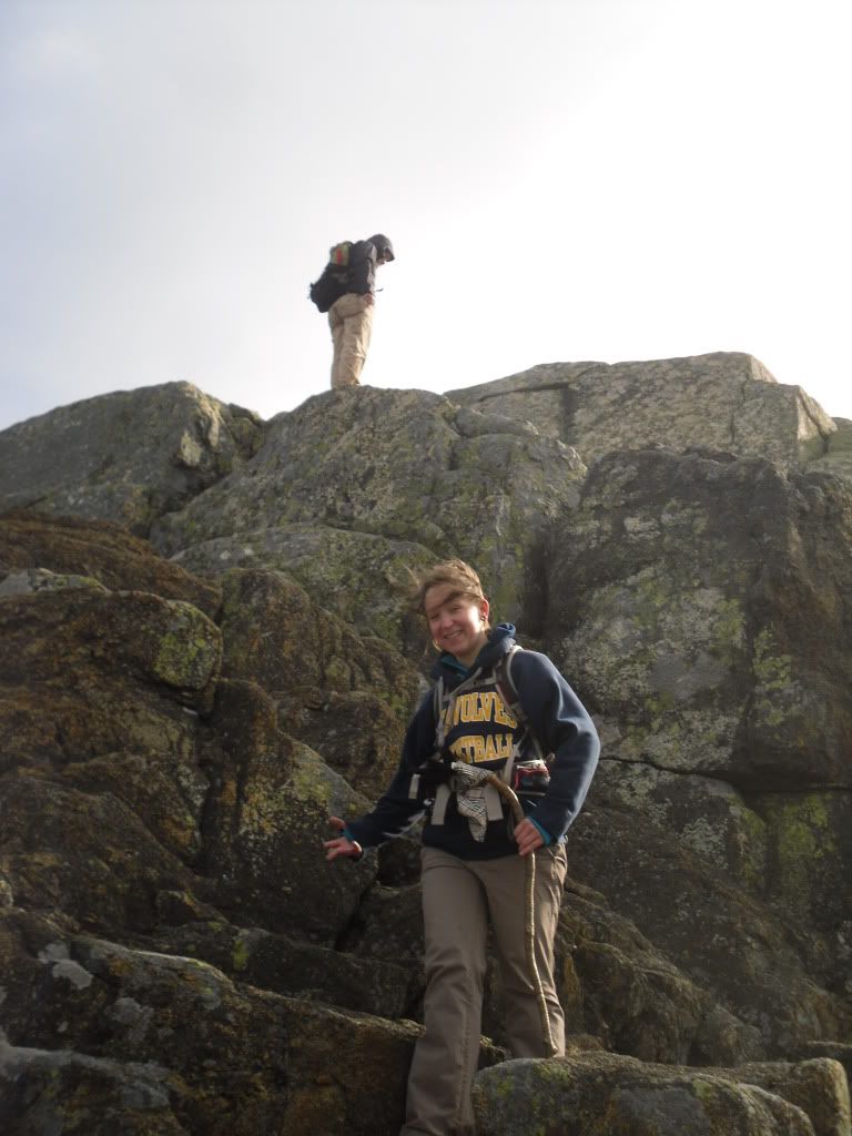
It was about here that we couldn't locate the trail, and somewhere below us on a ledge we could see a cairn indicating that the trail was somewhere below.  Matt had been this way several times, so Heidi and I followed.  It was about here that the  next 500 feet of descent got a little hairy.  Friction was on our side, and after Heidi and I had a few moments of tense bouldering and fancy footwork we joined up with Matt who had taken a slightly more difficult route that involved a ten foot slide through a crevasse to reach the trail below.  Hopefully this act will not be repeated again.


From here we reached the Liberty Cabin and broke for lunch seeking shelter from the wind.  After wolfing down our PB&J, locating the geocache and leaving a package of peanut butter crackers and a Nature Valley bar, we continued on to the Hammond Trail and Weetamoo (not sure why, but the name of this trail just strikes me as funny).  On the Weetamoo we encountered the former summit of Chic (two massive boulders toppled over by glaciers), and then after a river crossing, we returned to Piper, and 1.6 miles later, the car.  End time was just after dusk, around 4:35 PM


The total mileage attained was somewhere around 12 miles (give or take thanks to the harrowing descent from the peak and then some milling about that we did on the way up).  And after a well deserved stop at the Pizza Barn and the destruction of a Farmers Daughter, we returned home.

Mount Chocorua is honeycombed with many trails and alternatives to reaching the summit.  The list of trails we followed in only one of many options available.  Upon first glance at the distances involved, it is very easy to be deceived and to think that your hike will be easy (from the trail-head of Piper, the distance to the peak is 3.6 miles).  Do NOT be deceived.  Bring plenty of water for this hike.  Even in cold weather, you can quickly become dehydrated without even realizing it.  Also, arrive at your trail-head early.  The trails are frequented throughout the year, but following some of the lesser known trails you will find that you are by yourself which leads to another point: stay on the trail.  There are many ledges and it can be easy to lose your way.

Though the mountain is below 4,000 feet, I would have to rate this slightly higher than the Mount Washington segment of the Presidential Traverse.  Though less technical, the trail is slightly more difficult in regards to the amount of elevation that you gain in a very short amount of time.

Simply, some New Hampshire Fall hiking at its best!

Monday, October 17, 2011

Where the Sidewalk Really Ends


Shel Silverstein (author of the book Where the Sidewalk Ends) likely didn't know of the existence of the town of Hill, nestled next to the Pemigewasset River (or as we just call is here in NH, "the Pemi") near Plymouth, New Hampshire, nor would he have known that there really are sidewalks that just end...and lead to nowhere.


This was not always the case with the town of Hill.  First, if you look at a map the town of Hill still exists now at a safe distance above the Pemi.  This region of New Hampshire was once, and still occasionally is, affected by floods especially in the Spring during the snow-melt from the White Mountains.  These floods had devestating effects on the small town of Hill.  Founded in 1753 under the name of New Chester the name was changed  to Hill in 1837 in honor of Isaac Hill, NH governor from 1836 to 1839. 

In 1941 a new dam was constructed near Franklin, NH in an attempt to alleviate the flooding issue that had plagued the area.  This was when the entire town, including buildings and graves, were relocated to higher ground.


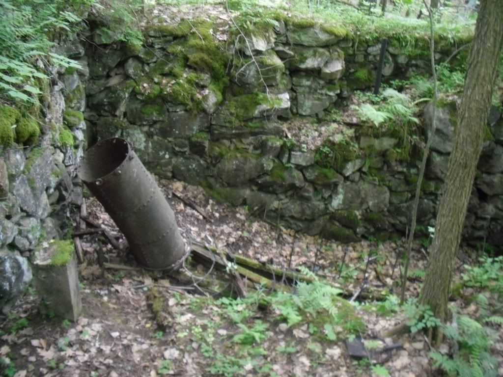
From the parking area on Old Town Road, Shop Road enters the woods following a swift flowing brook on the left.  Here is where your first structures are encountered, the remains of an old mill with a marker nearby showing the various flood levels that used to plague the area.  The most apparent remains of the mill will be some concrete walls and the penstock on the brook side of the road, but the main ruins are easily missed on your way down.  There are several paths that lead you into the larger ruin complex which is very impressive!


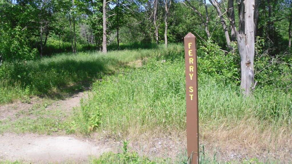
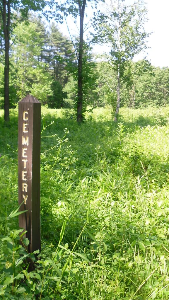
Shop Road ends at the bottom of the hill on the broad flood plain on which the town was originally constructed.  Here you reach the main street of the town, Center Hill Road, and the road T's heading north (to the left) and south (to the right).  On this particular trip we went north where there are broad open lots, a few posts telling you the name of the old streets and open lots.  Just after crossing the bridge, Ferry St begins on the right, and following this narrow path you will eventually reach the old cemetery with fields of poison ivy everywhere.  There aren't any graves left, or at least that we could see.  Ferry Road ends and another unnamed road travels parallel with the river.


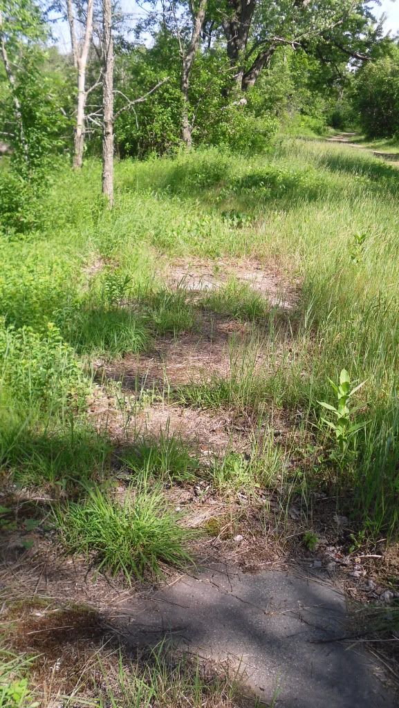
Back on Center Hill Road and traveling north you will pass by the old lot that the school sat on, the only evidence of it being there is a concrete pad near some trees, and on the right side of Center Hill Rd are the old sidewalks that peek out from beneath leaves, wild strawberries, poison ivy and dirt that has slowly taken everything over.


Eventually the road exits the town and re-enters the woods and on the right it a sign that simply states "The Eddy" and a path.  This leads you down to a sheltered lagoon on the Pemi and some really nice rocks to stretch out on, soak up some sun and silence.

Unfortunately we ran out of time to explore the southern end of Center Hill Road, but evidently this is where the majority of the foundations are found.  We will be making a return trip to explore this part when the poison ivy is a little less threatening.

Old Hill directions:
  • Take I-93 North to Exit 20, Rt 3
  • Bear west toward Rt 3A
  • Bear North on Rt 3A into Hill
  • After passing the post office (on right, very easy to miss), continue for about a mile to Old Town Road.
  • Turn right and you will pass a cemetery on the left and park in the parking area at the entrance of the Nature area.  Shop road begins at the gate.
Sturdy shoes are recommended as are long pants due to the area wide presence of poison ivy.  Trash and restroom facilities are not available, and this site is suitable to bring children.

Fire Will Attract More Attention than Any Cry for Help


In the case of the town of Centralia, Pennsylvania these words could not have rang more true.  Pennsylvania is renowned for many things: rolling farmland, the Amish, our nation's capital at one time was Philadelphia, Scranton is the setting of television series The Office, notoriously bad roads and coal...and a lot of it.


Located near the centre of the state, Centralia started out at the Roaring Creek Township in 1841, later renamed Centralia after it was determined that the name Centerville had already been taken, and was a busy coal mining town that had at one time over 2,000 souls in its heyday but this all began to change in the 1960's when the coal industry began to fail.   It was during this time that the true tragedy, not only in ecological impact but also upon the town and its people began to take shape.  It is unknown how the fires began.  One theory states that it was from the ashes of a coal burner that were thoughtlessly tossed into a hole in the ground.  Another places the blame upon a haphazard trash burning that took place in an improperly lined surface mine pit.  Whichever the case may be, the fire spread into the abandoned coal mines beneath the small town of Centralia in the 1960's and it has been burning ever since.


Media attention grew when a gas station owner noticed that the stick he used to measure the fuel level in his tank was abnormally hot, and after fetching a thermometer he found that the gasoline in his tank was an alarming 172° F (77.8° C).  Even the ground began to literally fall away beneath their feet when in the early 1980's a boy fell into a sink-hole four feet wide by one-hundred and fifty-feet (the young man did survive thanks to the quick thinking of his cousin).  In 1992 Eminent Domain was declared by Governor Bob Casey, in 2002 the United States Postal Service revoked the town's zip-code and formal evictions (or evacuations depending on whether or not you were a resident) in 2009.

The town just simply ceased to be...almost.


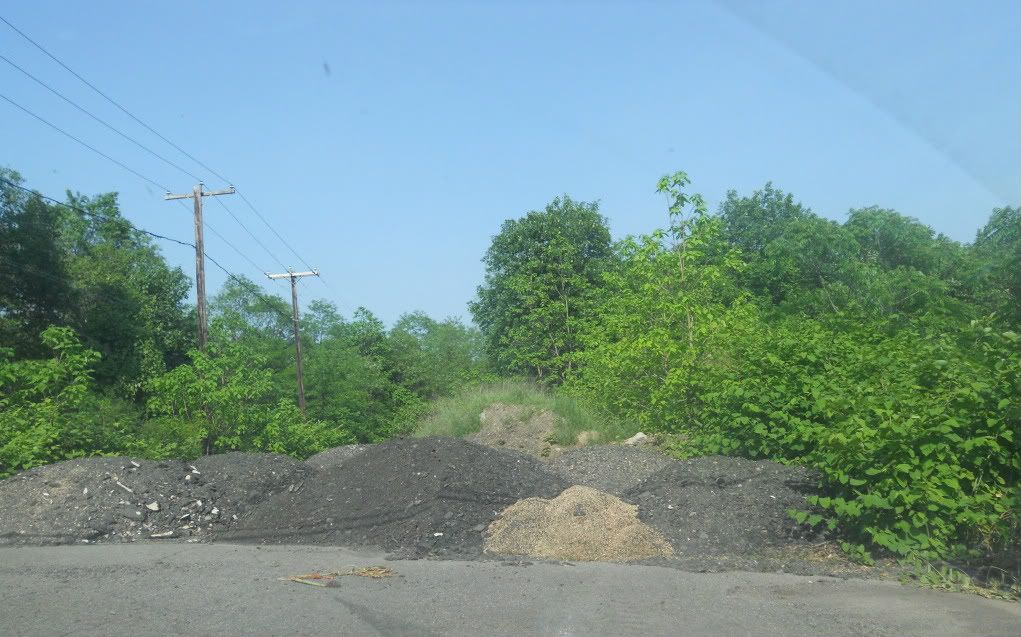
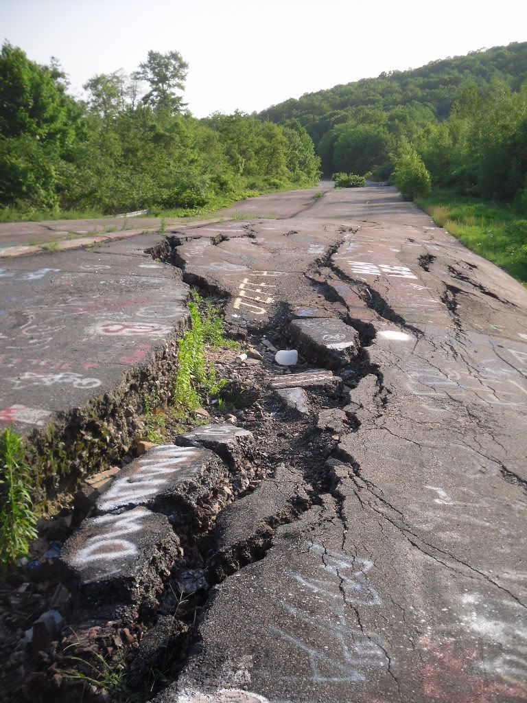
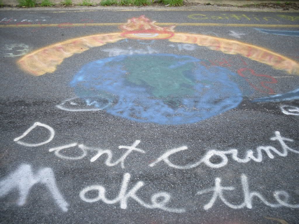
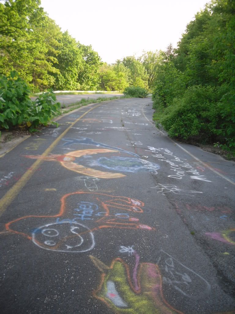
It is still possible to visit the town of Centralia, but what you see now is a slowly decaying town that has very few buildings, warning signs posted and a small hand full of very resolute residents who are trying to hold on to the homes that they have.  The town has gained a certain cult-status thanks to news paper articles, a few mentions on television shows, and it even was a source of inspiration for the fictitious hamlet of Silent Hill, but all one will find is a cemetery, steam fuming from holes in the ground and the twisted remains of PA Route 61 covered with lurid graffiti which to me is the saddest monument to the memory of this town.


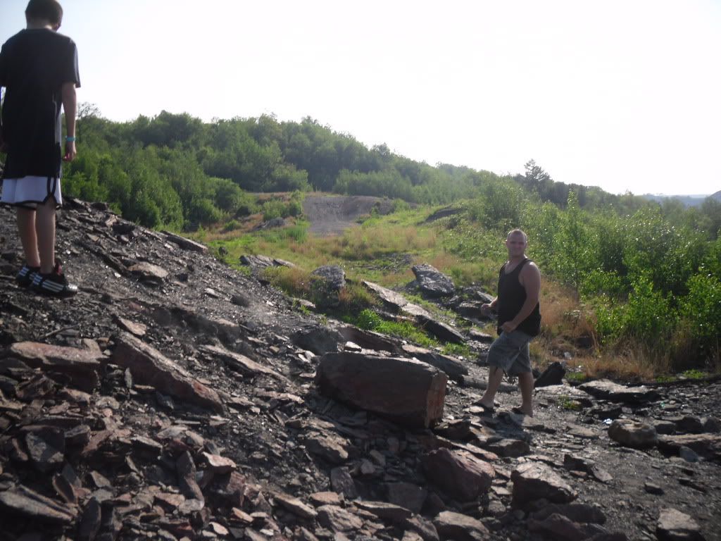
The directions that I will post are from I-81 South as this is the direction I came.  I will just mention a few things ahead of time.  Roaming around the town could be literally hazardous to your health.  Coal off-gasses a lovely cocktail of carbon dioxide, carbon monoxide, hydrogen sulfide and many other things.  The ground is subject to shifting as mines collapse.  The old structures that do remain (as there are not many since they are slowly being bulldozed) should not be entered as they may be structurally unstable or could trap potentially deadly gasses. Anything you do here is at your own risk.  And yes, I will admit that this is something impressive to see, but please please please respect those who have chosen to stay here.  It is a very sensitive and sad situation.  And please do not remove any material from the site.  

Directions from I-81 South:

-Take Exit 124B and merge onto PA Route 61 toward Frackville
-Turn Left on N PA 61
-Follow this until you reach the center of the town of Centralia.  Parking can be made at the bottom of the hill from the cemetery.