August of 2011 Hurricane Irene brought devastation in her wake throughout the eastern United States, but perhaps no other place experienced as much damage as the states of New York and Vermont where covered bridges over a century old were wiped out, towns nearly erased from the map and thousands of people were left homeless, many without financial recourse from insurance companies and assistance from federal agencies. Now, over five months later, many towns and residents are struggling to recover.
(image from Cornelle University Cooperative Extension Emergency Preparedness website)
Schoharie County in New York, one of the areas hit heavily by Irene and Lee, is known for its beauty, rich farmland, and to many cavers in the northeast, holds some of the most significant cave systems in the area. Cavers became a valuable resource assisting in rescues and clean-up efforts. Its the least that they could do to repay the generosity and hospitality of a community that many cavers have come to know well. Countless hours spent in clean-up and recovery, thousands of dollars raised, and more is still needed.
An idea was birthed by a member of the Boston Grotto, Northeast Cave Conservancy and Howe Caverns to provide the opportunity for a number of cavers to enter a section of Howe Caverns that is not frequented by the general public or people who go on their wild-cave Mystery Tour (that gives people the opportunity to visit the Colossal Dome, a feature that is 104 feet tall and ending before a segment of cave called the Lake of Mystery). Beyond the lake are several hundred feet of passage requiring a wetsuit in order to brave the 42° F water and to explore an area beyond that has been poorly mapped and not documented in photographs. The price of admission...a donation that all proceeds raised would be donated to the
Schoharie County Community Action Program to assist with flood relief.
I was fortunate enough to get on the list of people to attend the trip that took place on February 25th, 2012. Our main goal was to raise at least $1000 dollars for the Schoharie County Community Action Program and supporting a community that had already shared so much with us; our secondary mission was to pass the Lake of Mystery and then map and document for Howe Caverns, the series of passages, formations and streams beyond.
My girlfriend Heidi and I left our New Hampshire home around three o'clock and started our five + hour drive to Cobleskill, NY for what was sure to be a great adventure. The weather much of the way was not too bad until around 6:00 PM when we crossed the border into New York that the weather began to turn grim. But, after arriving in Cobleskill and eating at perhaps the only Arby's not to have been renovated to keep up with the modern era, we settled in at the Howes Caverns Motel for what turned out to be a fitful night's sleep as Winter was passing through, reminding us that though things have been calm weather-wise, it isn't done with us quite yet.
The next morning, after double checking my photo gear and make sure my bin was packed, we arrived at the caverns lobby which was already filling up with bins of gear, cavers, reporters and their camera crew. Many were cavers that had not seen each other for a few years, others were well seasoned friendships and then there were the new folks that I didn't recognize either by name or face.
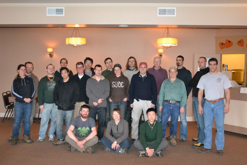
Members of the Howe Caverns trip
by J. DeGroff
At around 10:00 we piled into elevators and were taken down to the beginning point of the tour, directed down a tunnel and then arrived at the Mystery Passage located at the end of the Winding Way. While everyone was suiting up a
local television crew interviewed several members of our team as to what were were expecting, what were our motivations for going and who we were there to help. After everyone was suited up we started off through Fat Man's Misery for the far flung recesses of the Reynold's River.
Click the link above for the segment filmed by YNN and a view of the red-beard of yours truly (lol).
From Fat Man's Misery to the Colossal Dome is the section called the Mystery Passage that tourists, for an extra fee, can enter a non-developed section of cave through a mostly hands and knees crawl to a bear-cawl and then eventual walking passage up to the Great Rotunda, a really impressive feature that extends 104 feet in height. From here we were to enter the wet section of the cave. I was the fourth person in line and by the time the water hit my chest I had to back out in order to catch it. If you have never dunked yourself into 42° F water before, your first reaction is to hyperventilate. I caught it finally, re-entered the water and was waiting to push ahead. Ahead of me was Mike Chu and Dave Crusoe. Both were reporting back that the way had a VERY low airspace and they were alternating trying to push through using a technique that I term 'lip-snorkeling'...lay on our back feet first and push your nose and lips to the ceiling. A few minutes later they returned, very chilled and reporting that they were not quite comfortable pushing ahead. A little later two other members of the team pushed ahead...and later returned with similar results. We returned to the Great Rotunda a little disheartened, it appeared after-all that the hurricane that we were trying to help a community defeat had in-fact defeated us.
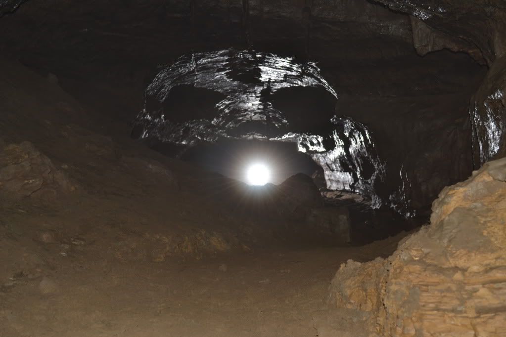
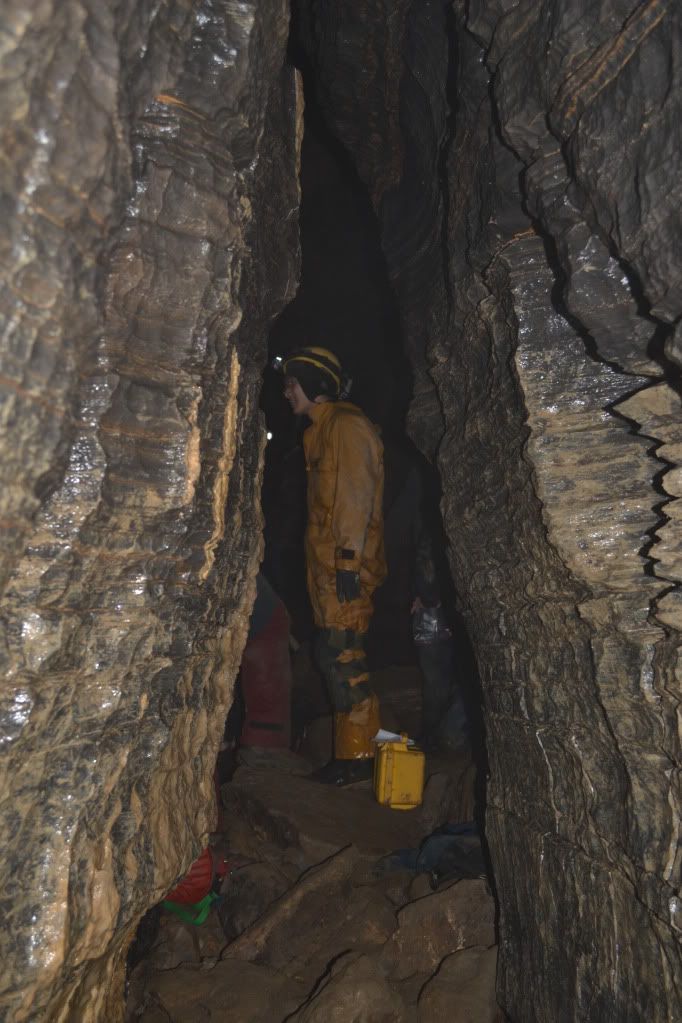
Mystery Passage
by A. Tester
Mike Chu standing just inside of the Great Rotunda
by A. Tester
While everyone had a few tense moments (meaning an hour and fifteen minutes) waiting for word from the two cavers who managed to get through the low airspace, I returned to the passage leading to the Great Rotunda to take some pictures. At this point I discovered that one of my flashes and slave units were completely swamped! So down one flash, I set up what I could. Afterward I returned to the Dome to get the scoop one what was going on with the cavers beyond the low-airspace and then slowly returned to the surface.
Members of the YNN camera crew from Chanel 6 Albany
by A. Tester
By two o'clock the two cavers beyond the low airspace before Mystery Lake were accounted for, and everyone had returned to the surface. No one was disappointed by the fact that we didn't get to the passages in the Reynold's River section. After all, the reason why we came together to this place was to raise money and to raise awareness of the plight of Schoharie County. So, though the in-cave goal of mapping and photography didn't happen, we did raise over $2000 for the SCCAP!!!!
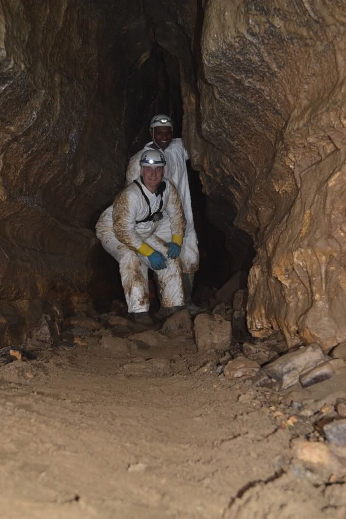
The Winding Way
by A. Tester
Our Hosts, Howe Caverns treated us to an awesome dinner and then we were lead on a tour of the cave by Jeff DeGroff, one of the coordinators of the event after which many of us said our goodbye and headed home.
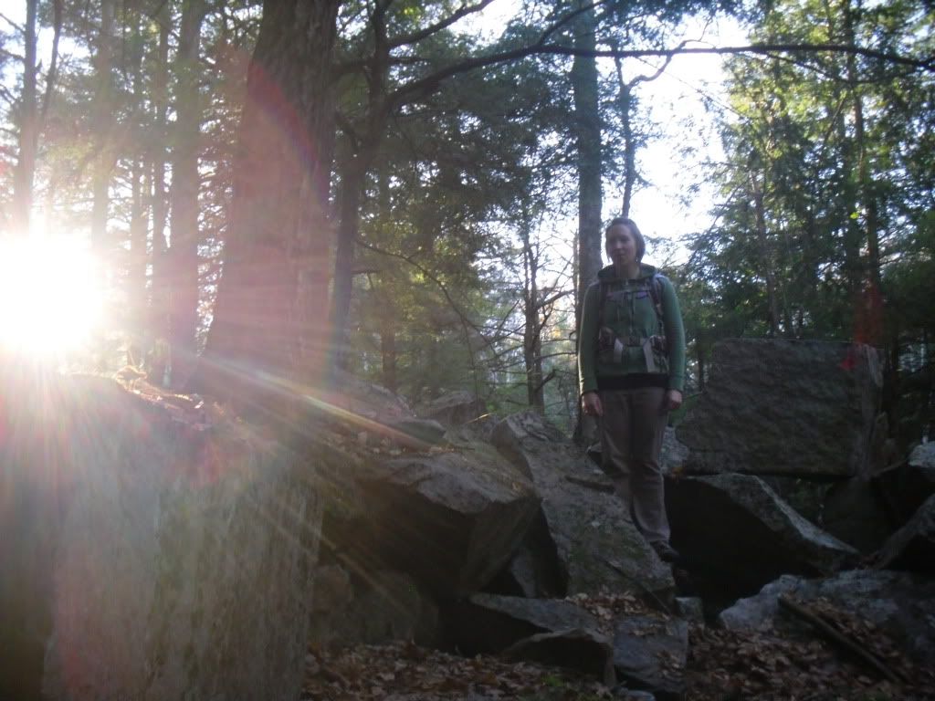
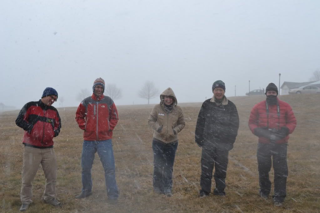
Members of the Boston Grotto in a snow squall
by A. Tester
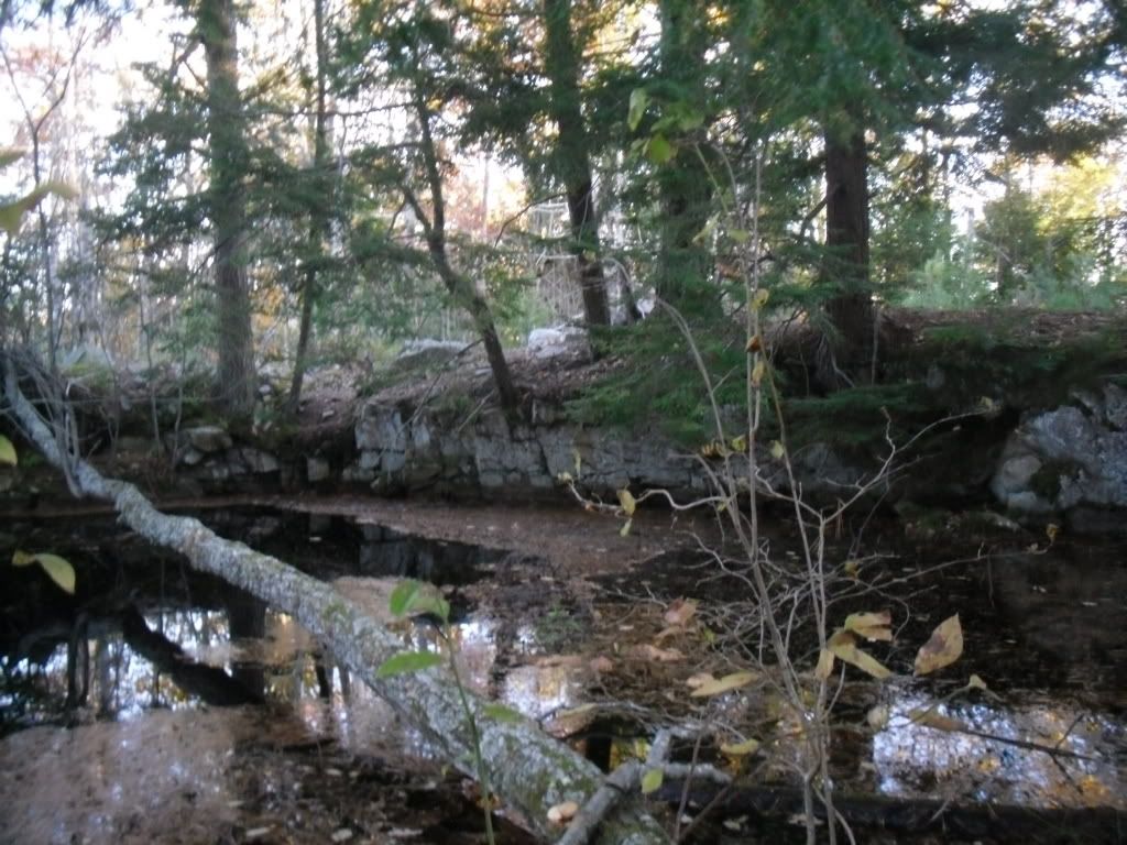
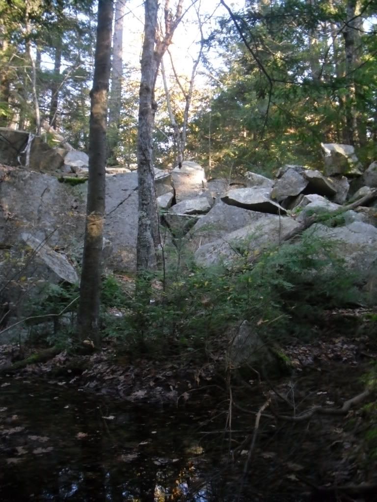
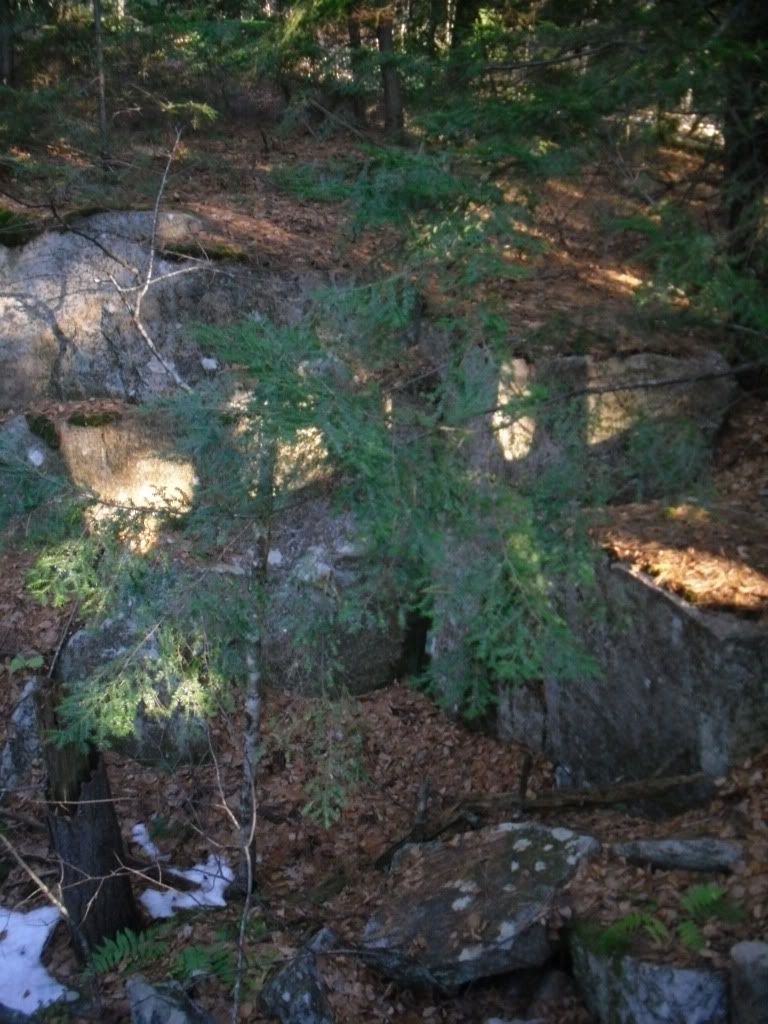
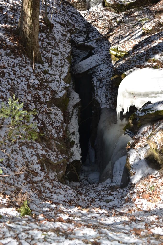
Since Dee and I don't make it out this way too often we took the following morning to visit the NSS (National Speleological Society) property for the McFail's Cave Preserve. The cave is currently closed for the hibernating bat population, but one can visit the above ground portion which has many striking karst features where streams just disappear into massive fissures in the ground.
All in all it was an amazing trip. Perhaps one day we'll get word that the water levels have dropped enough to permit us to map and document the far reaches of Howe Caverns, but until then there is a lot of work still to be done in Schoharie and the surrounding counties. If you are interested in either volunteering with or donating to the Schoharie County Community Action Program, please visit their
website. There are also many other communities throughout New York and Vermont that could use the help too. If you are also interested in see what caving is all about, please visit
www.caves.org to search for your nearest grotto.